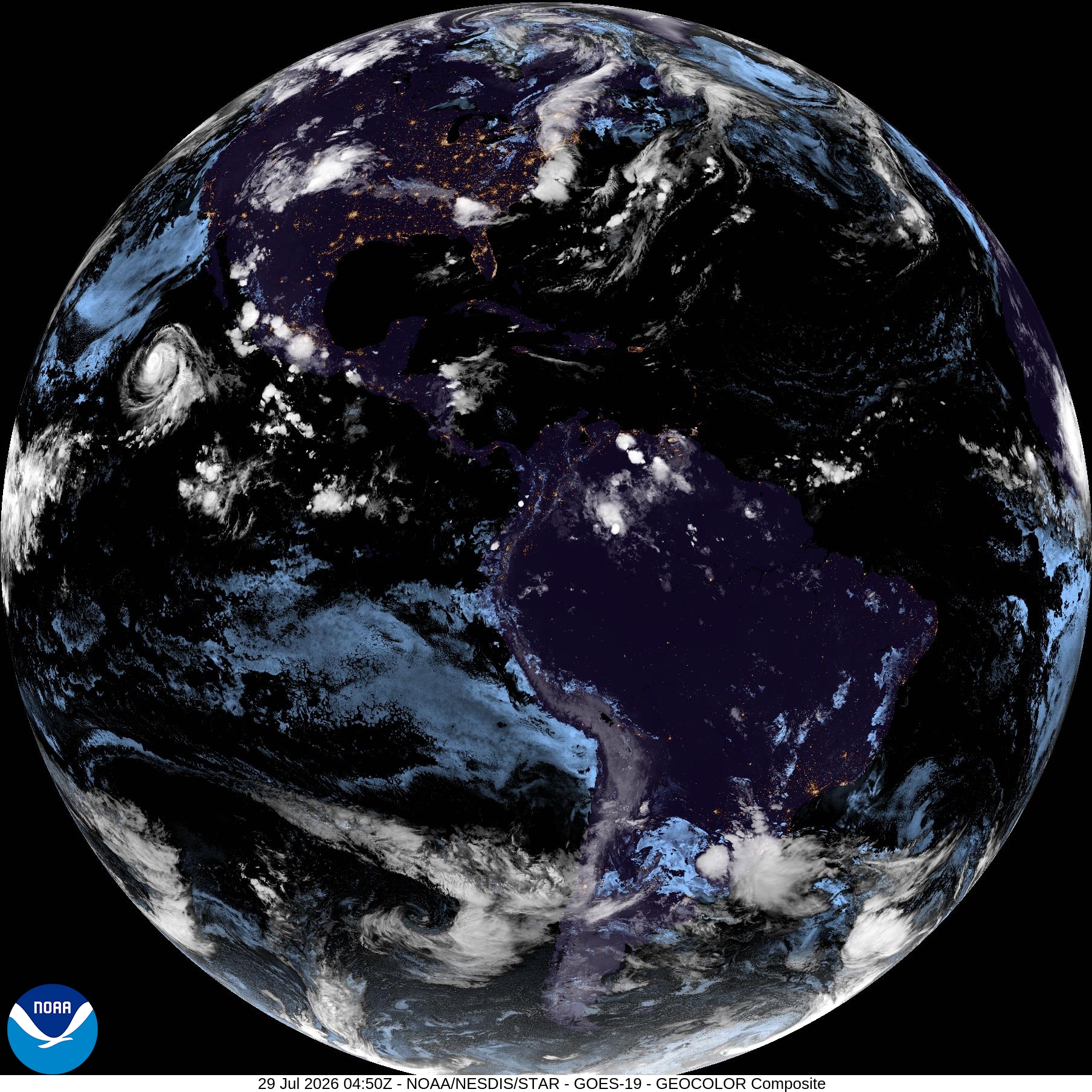
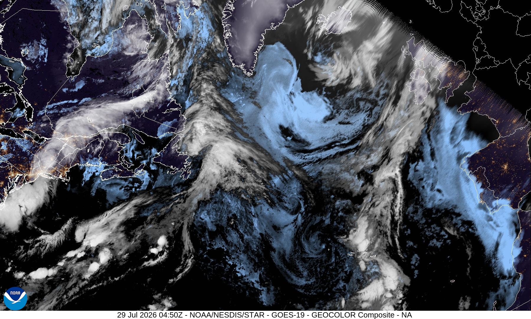
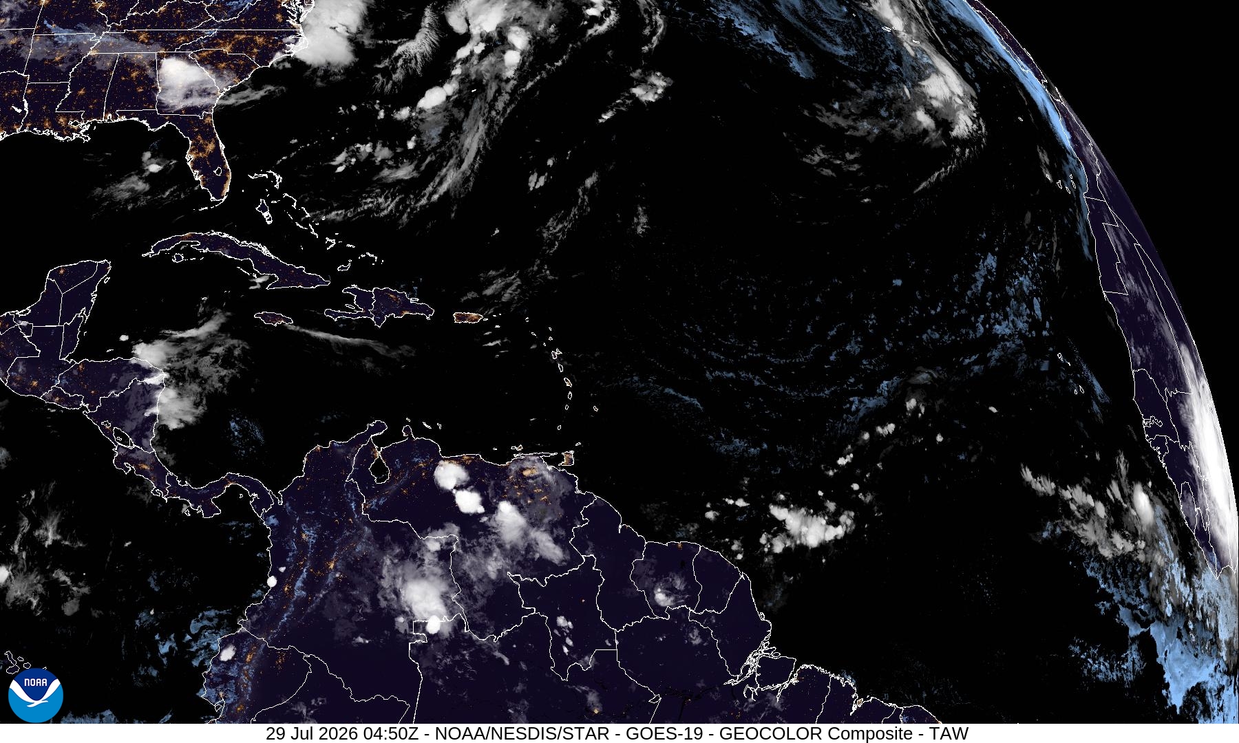
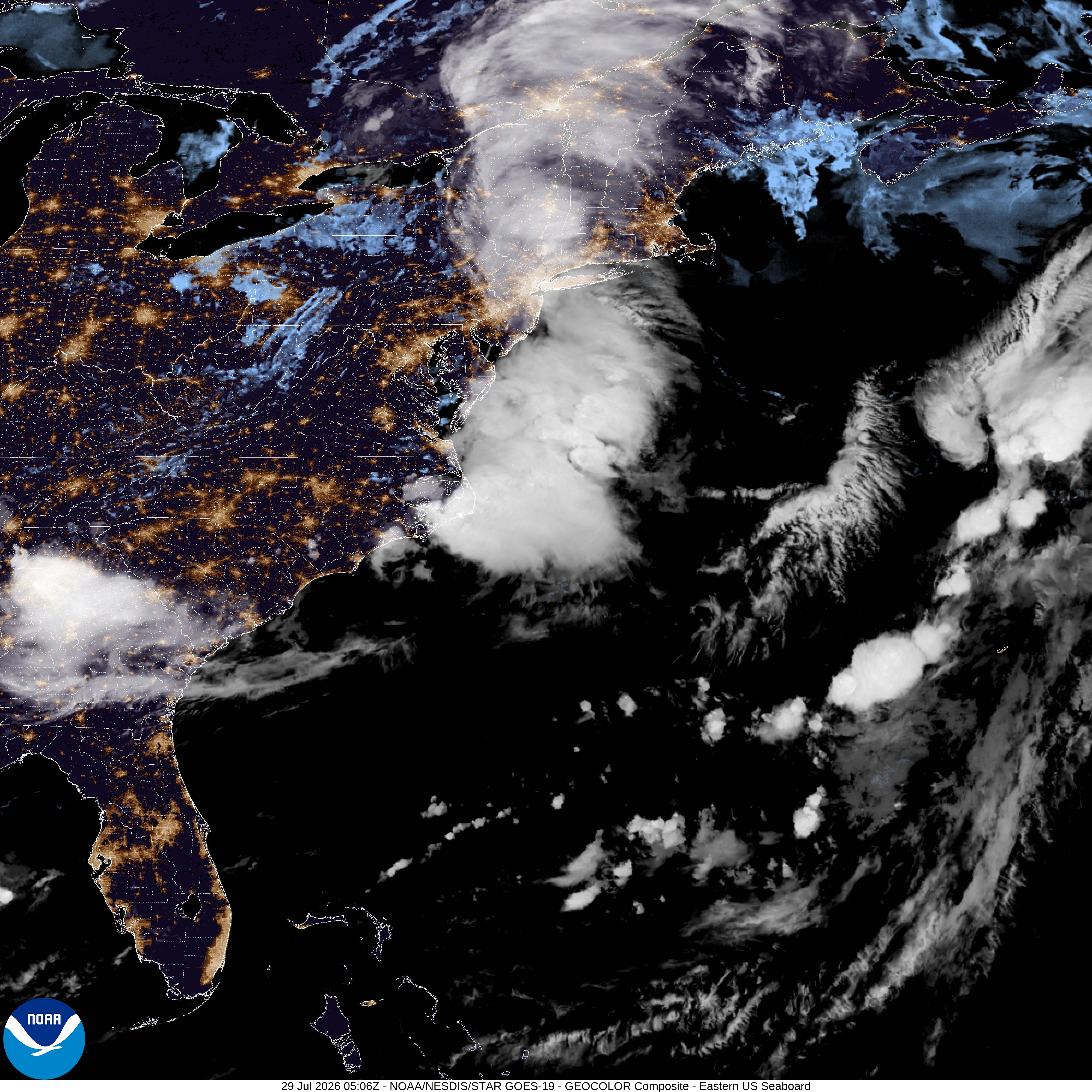
Data from the NOAA National Hurricane Center. Updated every 6 hours during active storms.
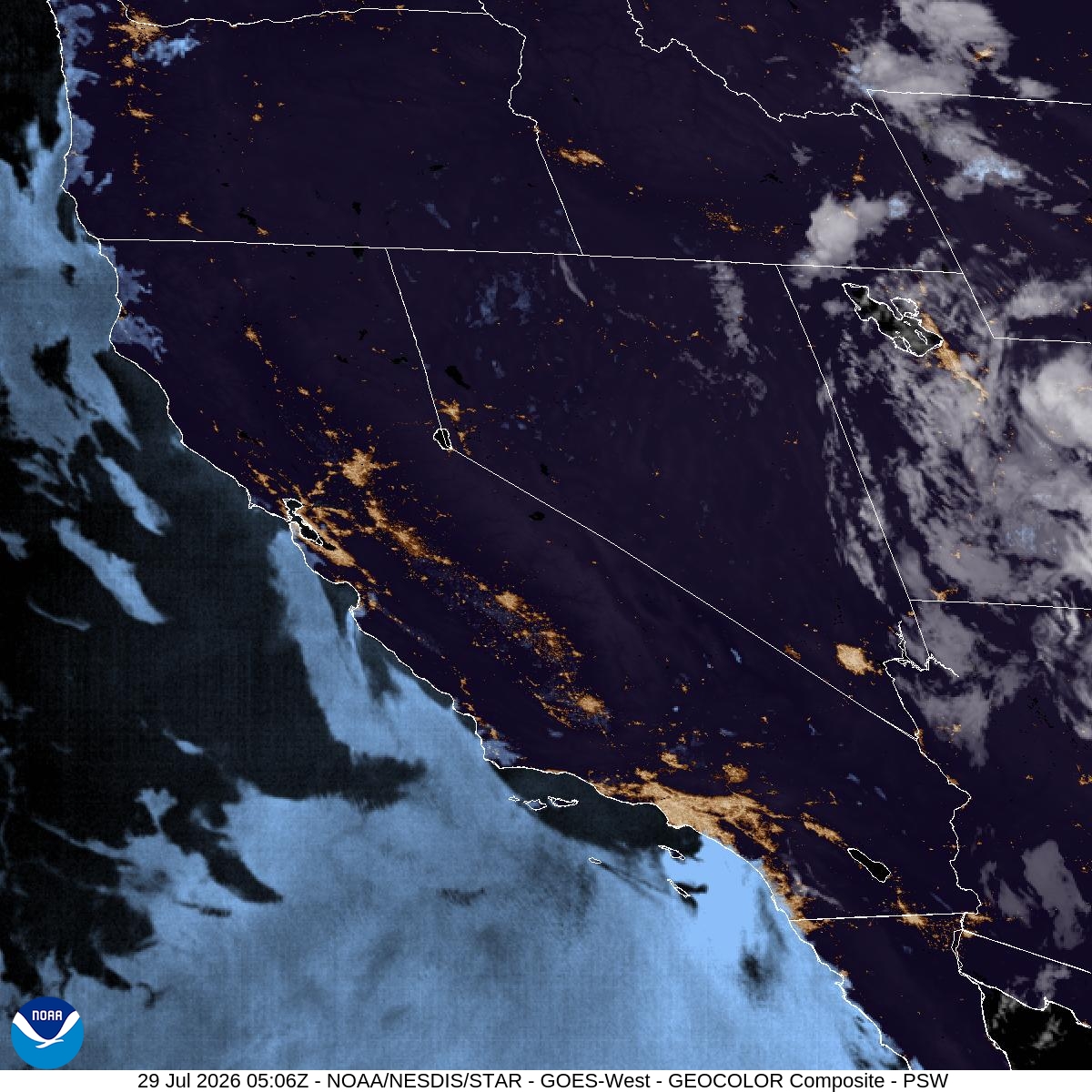
Issued at 500 PM HST Tue Jul 28 2026 000 WTPZ32 KNHC 290232 TCPEP2 BULLETIN Hurricane Genevieve Advisory Number 20 NWS National Hurricane Center Miami FL EP072026 500 PM HST Tue Jul 28 2026 ...MAJOR HURRICANE GENEVIEVE MOVING WEST-NORTHWESTWARD... SUMMARY OF 500 PM HST...0300 UTC...INFORMATION ---------------------------------------------- LOCATION...18.3N 117.6W ABOUT 590 MI...950 KM WSW OF THE SOUTHERN TIP OF BAJA CALIFORNIA MAXIMUM SUSTAINED WINDS...130 MPH...215 KM/H PRESENT MOVEMENT...WNW OR 290 DEGREES AT 9 MPH...15 KM/H MINIMUM CENTRAL PRESSURE...948 MB...28.00 INCHES WATCHES AND WARNINGS -------------------- There are no coastal watches or warnings in effect. DISCUSSION AND OUTLOOK ---------------------- At 500 PM HST (0300 UTC), the eye of Hurricane Genevieve was located near latitude 18.3 North, longitude 117.6 West. Genevieve is moving toward the west-northwest near 9 mph (15 km/h), and this general motion with a slight increase in forward speed is expected during the next few days. Maximum sustained winds are near 130 mph (215 km/h) with higher gusts. Genevieve is a category 4 hurricane on the Saffir-Simpson Hurricane Wind Scale. Some fluctuations in intensity are possible over the next day or so, and a weakening trend should begin thereafter. Hurricane-force winds extend outward up to 35 miles (55 km) from the center and tropical-storm-force winds extend outward up to 140 miles (220 km). The estimated minimum central pressure is 948 mb (28.00 inches). HAZARDS AFFECTING LAND ---------------------- SURF: Swells generated by Genevieve are affecting portions of the Baja California Peninsula and will reach Southern California on Wednesday. These swells are likely to persist for the next several days, and could cause life-threatening surf and rip current conditions. Please consult products from your local weather office. NEXT ADVISORY ------------- Next complete advisory at 1100 PM HST.
View Full NHC Advisory →Issued at 0300 UTC WED JUL 29 2026 000 WTPZ22 KNHC 290232 TCMEP2 HURRICANE GENEVIEVE FORECAST/ADVISORY NUMBER 20 NWS NATIONAL HURRICANE CENTER MIAMI FL EP072026 0300 UTC WED JUL 29 2026 HURRICANE CENTER LOCATED NEAR 18.3N 117.6W AT 29/0300Z POSITION ACCURATE WITHIN 15 NM PRESENT MOVEMENT TOWARD THE WEST-NORTHWEST OR 290 DEGREES AT 8 KT ESTIMATED MINIMUM CENTRAL PRESSURE 948 MB EYE DIAMETER 15 NM MAX SUSTAINED WINDS 115 KT WITH GUSTS TO 140 KT. 64 KT....... 30NE 30SE 20SW 30NW. 50 KT....... 60NE 60SE 50SW 60NW. 34 KT.......120NE 110SE 100SW 110NW. 4 M SEAS....240NE 180SE 240SW 300NW. WINDS AND SEAS VARY GREATLY IN EACH QUADRANT. RADII IN NAUTICAL MILES ARE THE LARGEST RADII EXPECTED ANYWHERE IN THAT QUADRANT. REPEAT...CENTER LOCATED NEAR 18.3N 117.6W AT 29/0300Z AT 29/0000Z CENTER WAS LOCATED NEAR 18.2N 117.2W FORECAST VALID 29/1200Z 18.6N 118.9W MAX WIND 115 KT...GUSTS 140 KT. 64 KT... 30NE 20SE 20SW 30NW. 50 KT... 60NE 50SE 40SW 60NW. 34 KT...110NE 110SE 90SW 110NW. FORECAST VALID 30/0000Z 19.3N 120.8W MAX WIND 105 KT...GUSTS 130 KT. 64 KT... 30NE 20SE 20SW 30NW. 50 KT... 60NE 50SE 40SW 60NW. 34 KT...110NE 100SE 90SW 110NW. FORECAST VALID 30/1200Z 20.0N 123.2W MAX WIND 90 KT...GUSTS 110 KT. 64 KT... 20NE 10SE 10SW 20NW. 50 KT... 50NE 40SE 40SW 50NW. 34 KT...110NE 100SE 80SW 110NW. FORECAST VALID 31/0000Z 20.7N 125.6W MAX WIND 75 KT...GUSTS 90 KT. 64 KT... 10NE 0SE 0SW 10NW. 50 KT... 50NE 40SE 40SW 50NW. 34 KT...100NE 80SE 80SW 100NW. FORECAST VALID 31/1200Z 21.5N 128.0W MAX WIND 60 KT...GUSTS 75 KT. 50 KT... 30NE 20SE 20SW 30NW. 34 KT... 90NE 70SE 60SW 80NW. FORECAST VALID 01/0000Z 22.2N 130.7W MAX WIND 50 KT...GUSTS 60 KT. 50 KT... 20NE 0SE 0SW 20NW. 34 KT... 80NE 60SE 50SW 80NW. EXTENDED OUTLOOK. NOTE...ERRORS FOR TRACK HAVE AVERAGED NEAR 100 NM ON DAY 4 AND 125 NM ON DAY 5...AND FOR INTENSITY NEAR 15 KT EACH DAY OUTLOOK VALID 02/0000Z 23.7N 136.4W...POST-TROPICAL MAX WIND 40 KT...GUSTS 50 KT. 34 KT... 70NE 30SE 30SW 60NW. OUTLOOK VALID 03/0000Z 25.5N 141.7W...POST-TROPICAL MAX WIND 35 KT...GUSTS 45 KT. 34 KT... 60NE 0SE 0SW 50NW. REQUEST FOR 3 HOURLY SHIP REPORTS WITHIN 300 MILES OF 18.3N 117.6W NEXT ADVISORY AT 29/0900Z FORECASTER KELLY
View Full NHC Advisory →Issued at 500 PM HST Tue Jul 28 2026 000 WTPA31 PHFO 290235 TCPCP1 BULLETIN Tropical Storm Fausto Advisory Number 41 NWS Central Pacific Hurricane Center Honolulu HI EP062026 Issued by NWS National Hurricane Center Miami FL 500 PM HST Tue Jul 28 2026 ...FAUSTO CONTINUES TO GRADUALLY WEAKEN BUT SIGNIFICANT SURF STILL EXPECTED FOR THE HAWAIIAN ISLANDS OVER THE NEXT FEW DAYS... SUMMARY OF 500 PM HST...0300 UTC...INFORMATION ---------------------------------------------- LOCATION...23.0N 153.4W ABOUT 255 MI...405 KM NNE OF HILO HAWAII ABOUT 310 MI...500 KM ENE OF HONOLULU HAWAII MAXIMUM SUSTAINED WINDS...40 MPH...65 KM/H PRESENT MOVEMENT...WNW OR 285 DEGREES AT 12 MPH...19 KM/H MINIMUM CENTRAL PRESSURE...1006 MB...29.71 INCHES WATCHES AND WARNINGS -------------------- There are no coastal watches or warnings in effect. Interests in the Hawaiian Islands should monitor the progress of Fausto. DISCUSSION AND OUTLOOK ---------------------- At 500 PM HST (0300 UTC), the center of Tropical Storm Fausto was located near latitude 23.0 North, longitude 153.4 West. Fausto is moving toward the west-northwest near 12 mph (19 km/h), and a generally west-northwestward motion is expected to continue for the next few days. On the forecast track, Fausto should pass north of the Hawaiian Islands tonight through late Wednesday. Maximum sustained winds have decreased to near 40 mph (65 km/h) with higher gusts. Additional weakening is likely, and Fausto is expected to become a tropical depression early on Wednesday, and a remnant low by late Wednesday. Tropical-storm-force winds extend outward up to 160 miles (260 km) to the northeast of the center. The estimated minimum central pressure is 1006 mb (29.71 inches). HAZARDS AFFECTING LAND ---------------------- Key messages for Fausto can be found in the Tropical Cyclone Discussion under AWIPS header HFOTCDCP1 and WMO header WTPA41 PHFO. SURF: Surf generated by Fausto will continue to build westward across the Hawaiian Islands along exposed east-facing shores through tonight as Fausto approaches and begins to pass north of the islands. Large surf and strong currents will lead to dangerous conditions along exposed shores. Please consult products from your local weather office. NEXT ADVISORY ------------- Next complete advisory at 1100 PM HST.
View Full NHC Advisory →Issued at 0300 UTC WED JUL 29 2026 000 WTPA21 PHFO 290235 TCMCP1 TROPICAL STORM FAUSTO FORECAST/ADVISORY NUMBER 41 NWS CENTRAL PACIFIC HURRICANE CENTER HONOLULU HI EP062026 ISSUED BY NWS NATIONAL HURRICANE CENTER MIAMI FL 0300 UTC WED JUL 29 2026 TROPICAL STORM CENTER LOCATED NEAR 23.0N 153.4W AT 29/0300Z POSITION ACCURATE WITHIN 30 NM PRESENT MOVEMENT TOWARD THE WEST-NORTHWEST OR 285 DEGREES AT 10 KT ESTIMATED MINIMUM CENTRAL PRESSURE 1006 MB MAX SUSTAINED WINDS 35 KT WITH GUSTS TO 45 KT. 34 KT.......140NE 0SE 0SW 0NW. 4 M SEAS....180NE 120SE 150SW 210NW. WINDS AND SEAS VARY GREATLY IN EACH QUADRANT. RADII IN NAUTICAL MILES ARE THE LARGEST RADII EXPECTED ANYWHERE IN THAT QUADRANT. REPEAT...CENTER LOCATED NEAR 23.0N 153.4W AT 29/0300Z AT 29/0000Z CENTER WAS LOCATED NEAR 22.9N 152.9W FORECAST VALID 29/1200Z 23.4N 155.1W MAX WIND 30 KT...GUSTS 40 KT. FORECAST VALID 30/0000Z 23.9N 157.5W...POST-TROP/REMNT LOW MAX WIND 30 KT...GUSTS 40 KT. FORECAST VALID 30/1200Z 24.4N 160.0W...POST-TROP/REMNT LOW MAX WIND 25 KT...GUSTS 35 KT. FORECAST VALID 31/0000Z 25.2N 162.5W...POST-TROP/REMNT LOW MAX WIND 25 KT...GUSTS 35 KT. FORECAST VALID 31/1200Z...DISSIPATED REQUEST FOR 3 HOURLY SHIP REPORTS WITHIN 300 MILES OF 23.0N 153.4W NEXT ADVISORY AT 29/0900Z FORECASTER PASCH
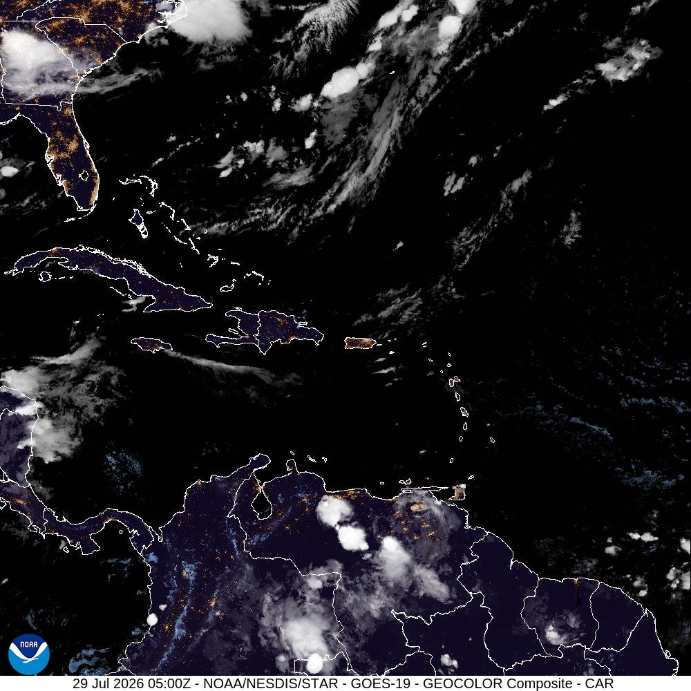
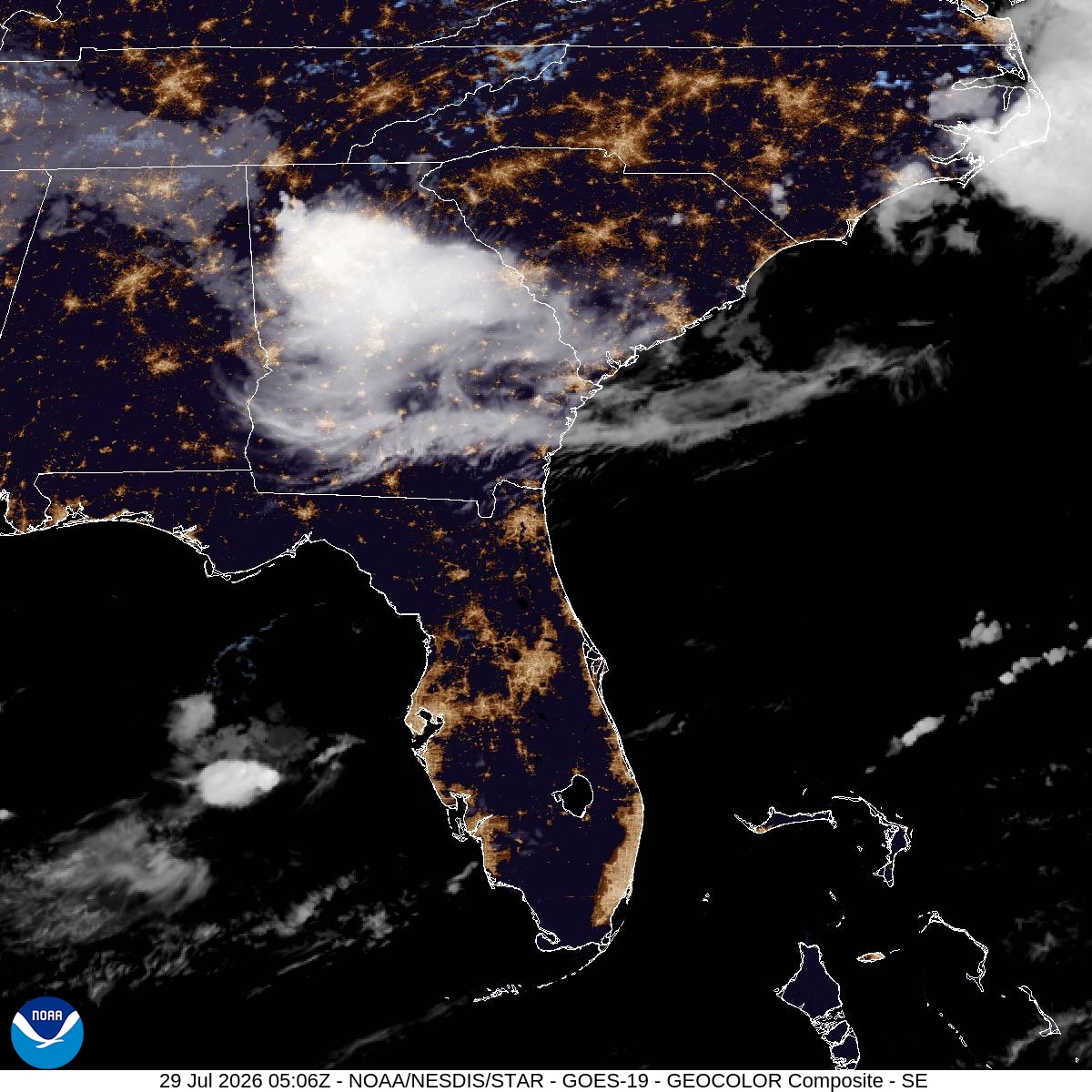
View Full NHC Advisory →Tropical Weather Outlook NWS National Hurricane Center Miami FL 800 PM EDT Tue Jul 28 2026 For the North Atlantic...Caribbean Sea and the Gulf of America: Tropical cyclone formation is not expected during the next 7 days.
Tropical Weather Outlook NWS National Hurricane Center Miami FL 500 PM PDT Tue Jul 28 2026 For the eastern and central North Pacific east of 180 longitude: Active Systems: The National Hurricane Center is issuing advisories on Tropical Storm Fausto, located in the Central Pacific a few hundred miles east-northeast of the Hawaiian Islands, and on Hurricane Genevieve, located several hundred miles southwest of the southern tip of the Baja California Peninsula. Tropical cyclone formation is not expected during the next 7 days.