Radar — KABX
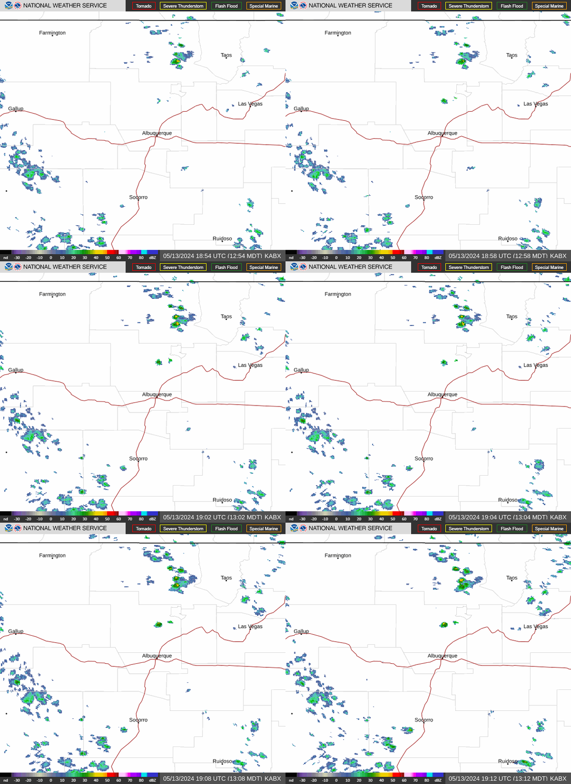
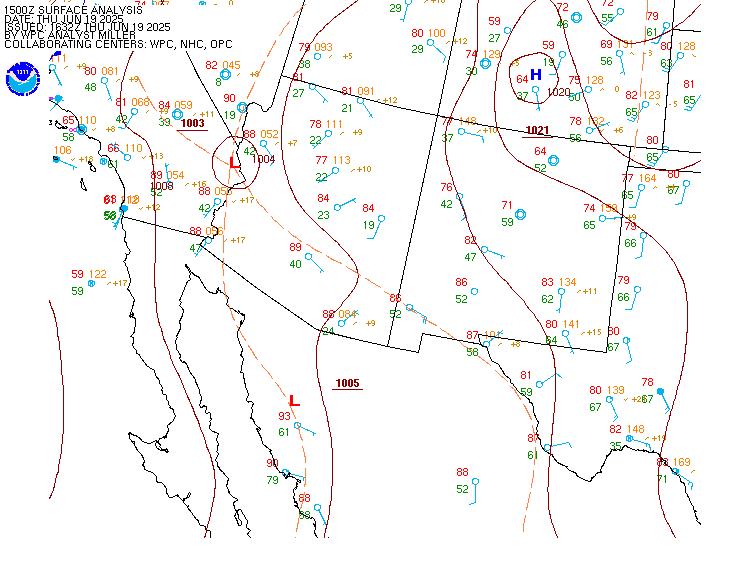
Surface Analysis — Western U.S. (South)
Satellite

Log in to save this location.
Nearest monitored road: Central Avenue Northwest (Primary)
Issued at 1153 AM MDT wed sep 16 2026
- a surge of rich monsoon moisture will continue to push into northern and central new mexico this week, increasing the chances for showers and thunderstorms. This will introduce a risk of locally heavy rainfall and flash flooding, especially around urban areas, burn scars, and low water crossings today and thursday.
- water will begin to flow in normally dry arroyos, creeks, streams, and tributaries to mainstem rivers that have dried up this summer. Dirt roads will become muddy, and large areas of standing water may form in low-lying areas.
- isolated strong storms each afternoon and evening this week could produce strong outflow wind gusts, wet microbursts, and small hail.
(today through thursday) issued at 306 AM MDT wed sep 16 2026
It's going to be a wet wednesday around the land of enchantment today. A plume of deep subtropical moisture continues to be advected north/northeast in-between a trough to the northwest and a ridge to the east. The last couple days have been very moist, but today looks to be even wetter. Pwats will surge above the 99th percentile almost everywhere in new mexico by this afternoon as confluent southerly flow intensifies out ahead of the deepening trough over california. The main area of of precipitation today will focus over western nm, with showers become heavier and more persistent as the day progresses. Satellite trends tonight suggest there should be some clearing during the morning hours, aiding in destabilization. Swaths of more instability will focus heavy rainfall, but moderate rainfall rates will be the norm in most areas. The most recent soil moisture analysis (0-10 cm) from nasa sport shows that rainfall the last two days has turned drier than normal topsoil to near record wet topsoil along and west of the continental divide. This will significantly reduce the amount of rainfall required to produce flash flooding. Given the recent saturation over the northwest quadrant of the state and the upslope flow in the northwest highlands, the flood watch was expanded northward to include the northwest third of the state.
Strong meridional moisture flux will favor the development of storms along the crest of the sacramento mountains today, with persistent rainfall as updrafts get anchored over the mountains. Rainfall rates will be very efficient as well considering the record level moisture in place. Most likely rainfall amounts over the ruidoso area burn scars is 0.75-1", with high-end amounts upwards of 2".
While a flood watch is not in effect for most of central and northern nm, an instance or two of flash flooding is likely in these areas as well during the afternoon and evening. Moisture advection will increase overnight. Pops have been consistently high during this period for days, but hi-res models have been very inconsistent with regard to the placement and intensity of precipitation. The most likely scenario is a large swath of light to moderate precipitation enhanced by orographic lift over the high terrain in response to strengthening crest-level winds. The rrfs even shows ivt values peaking over 500 units along the middle rgv late wednesday night. This will be enough to produce rainfall even in the absence of much instability.
The trough over northern california will begin to lift northwest on thursday, tilting the sub-tropical moisture plume more zonally. This will produce an area of focused convergence somewhere in western nm (likely along the continental divide). This area will push into north-central nm thursday afternoon and evening and may require the issuance of another flood watch. 48-hour mean QPF amounts this morning through friday morning show at least 0.5" for all areas along and west of the central mountain chain, with the highest amounts (2- 3") over the northwest highlands and tusas mountains. 90th percentile amounts show over 3" across the northwest and suggest at least a 10% chance of 1"+ for almost all areas outside of the eastern plains.
(thursday night through tuesday) issued at 306 AM MDT wed sep 16 2026
An upper trough will continue its trek into the northern rockies on friday, with flow aloft becoming increasingly westerly over new mexico. The change in the flow pattern will favor east/west facing slopes instead of north/south ones, but very saturated soils from recent rainfall will still support isolated instances of flash flooding. Drying will occur from west to east as the sub-tropical plume gets disrupted by the passage of the trough axis. While saturday will be drier, the increased forcing associated with the trough axis should increase SHEAR and support a few strong to severe storms.
Moisture is finally scoured out on sunday, but an uptick is likely again early next workweek as the subtropical jet stream becomes more active. Both the GEFS and eps ensemble mean pwats are showing moisture 150-200% of normal over new mexico by the middle of next week, with moderate to high confidence that this elevated moisture will linger into the last week of the month.
(18Z tafs) issued at 1153 AM MDT wed sep 16 2026
Batches of rain with a few embedded thunderstorms are moving northward over central new mexico with scattered areas of MVFR ceilings and visibilities where downpours are most prominent. As the afternoon wears on, numerous thunderstorms will develop along the continental divide, western mountains, and central mountain chain, spreading northward into nearby valleys and lower elevations with heavy downpours, lightning, gusty downburst winds, and small hail accompanying. Into the evening hours, many of the storms will congeal into more widespread batches of just general moderate rain that will persist over much of the western half of new mexico through early thursday morning. Additional scattered to widespread areas of MVFR ceilings and visibility will redevelop overnight into thursday morning, especially over the northwestern third or so of the state (kgup, kfmn, kgnt, klam, ksaf, ke33, and kskx).
Issued at 306 AM MDT wed sep 16 2026
An upper trough will continue its trek into the northern rockies on friday, with flow aloft becoming increasingly westerly over new mexico. The change in the flow pattern will favor east/west facing slopes instead of north/south ones, but very saturated soils from recent rainfall will still support isolated instances of flash flooding. Drying will occur from west to east as the sub-tropical plume gets disrupted by the passage of the trough axis. While saturday will be drier, the increased forcing associated with the trough axis should increase SHEAR and support a few strong to severe storms.
Moisture is finally scoured out on sunday, but an uptick is likely again early next workweek as the subtropical jet stream becomes more active. Both the GEFS and eps ensemble mean pwats are showing moisture 150-200% of normal over new mexico by the middle of next week, with moderate to high confidence that this elevated moisture will linger into the last week of the month.
Farmington...................... 76 58 75 56 / 70 90 90 60 dulce........................... 73 48 73 45 / 90 90 90 90 cuba............................ 72 52 73 50 / 80 90 80 80 gallup.......................... 72 52 73 48 / 80 90 70 50 el morro........................ 70 51 73 48 / 80 90 60 60 grants.......................... 72 53 76 50 / 80 90 80 70 quemado......................... 72 55 76 53 / 80 90 50 60 magdalena....................... 73 58 77 57 / 60 80 40 60 datil........................... 71 54 74 53 / 90 90 50 60 reserve......................... 76 55 78 53 / 90 90 30 50 glenwood........................ 82 59 84 58 / 70 90 30 50 chama........................... 69 49 67 47 / 80 90 90 90 los alamos...................... 73 56 74 56 / 80 80 70 80 pecos........................... 75 53 75 53 / 90 90 70 70 cerro/questa.................... 72 52 72 52 / 70 70 60 90 red river....................... 66 45 64 46 / 60 70 60 80 angel fire...................... 69 40 70 39 / 70 70 60 70 taos............................ 74 51 76 49 / 70 70 60 80 mora............................ 73 51 73 50 / 80 80 70 60 espanola........................ 79 56 81 55 / 70 80 60 80 santa fe........................ 74 57 75 56 / 80 80 70 70 santa fe airport................ 76 56 78 55 / 80 80 70 70 albuquerque foothills........... 76 61 80 61 / 80 80 50 70 albuquerque heights............. 78 62 81 62 / 80 80 40 70 albuquerque valley.............. 79 57 82 56 / 70 80 40 70 albuquerque west mesa........... 78 62 81 61 / 80 80 50 70 belen........................... 78 59 82 59 / 60 80 40 60 bernalillo...................... 79 60 81 59 / 80 80 50 70 bosque farms.................... 79 56 81 56 / 70 80 40 70 corrales........................ 79 60 82 60 / 80 80 50 70 los lunas....................... 79 59 81 59 / 70 80 40 70 placitas........................ 76 60 79 60 / 80 90 50 70 rio rancho...................... 78 61 80 60 / 80 80 50 70 socorro......................... 77 62 82 63 / 60 80 20 40 sandia park/cedar crest......... 75 55 77 55 / 80 90 50 70 tijeras......................... 76 57 79 58 / 80 90 50 70 edgewood........................ 76 53 78 53 / 90 80 50 60 moriarty/estancia............... 79 51 80 51 / 90 70 50 60 clines corners.................. 75 53 77 54 / 90 80 50 60 mountainair..................... 76 55 79 55 / 90 60 40 50 gran quivira.................... 76 56 80 56 / 80 50 30 40 carrizozo....................... 77 60 82 60 / 80 50 40 30 ruidoso......................... 75 55 76 53 / 90 70 60 30 capulin......................... 76 55 77 53 / 40 50 30 20 raton........................... 80 54 80 53 / 60 60 40 30 springer........................ 82 55 83 55 / 60 60 40 30 las vegas....................... 75 53 76 53 / 80 80 60 70 clayton......................... 83 62 86 63 / 20 30 5 10 roy............................. 79 58 80 59 / 40 70 20 20 conchas......................... 87 63 89 63 / 50 50 10 20 santa rosa...................... 83 61 85 62 / 60 60 20 40 tucumcari....................... 87 63 89 65 / 40 40 5 10 clovis.......................... 88 63 89 63 / 30 20 0 10 portales........................ 89 63 90 64 / 30 20 0 5 fort sumner..................... 88 64 89 64 / 50 60 0 20 roswell......................... 91 66 92 66 / 30 30 0 10 picacho......................... 82 59 85 60 / 80 50 30 30 elk............................. 80 57 82 58 / 80 60 30 30