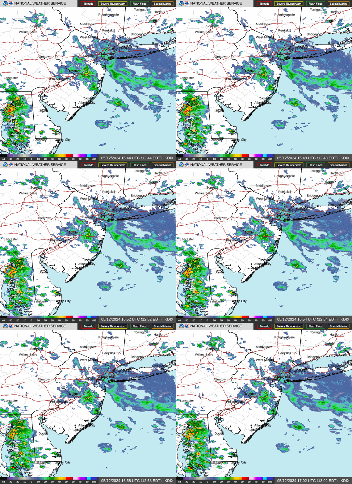
Radar — KDIX
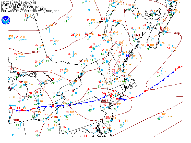
Surface Analysis — Eastern U.S. (North)
Satellite

Log in to save this location.
Nearest monitored road: Tilghman Street (Primary)
Aviation section updated for the 18Z tafs.
The onset of unsettled conditions this weekend has trended slightly earlier to include saturday night.
1. High pressure along the eastern seaboard moves out to sea as a cold front approaches from the west.
2. Scattered showers and a few storms are possible thursday night as a cold front moves through the region.
3. A stretch of unsettled weather will begin saturday night into sunday, continuing into the first half of next week. Monitoring the potential for heavy rain.
Key message 1...high pressure along the eastern seaboard moves out to sea as a cold front approaches from the west.
High pressure along the eastern seaboard moves out to sea tonight. Meanwhile, a cold front moving through the ohio valley continues to track east. Southerly flow develops tonight and then increases on thursday. A warm and humid day, at least by mid-september standards, sets up on thursday with highs in the low to mid 80S and surface dew points in the mid to upper 60S. Some showers, perhaps a thunderstorm, may move into the southern poconos, lehigh valley, and far northwest new jersey starting around midday and into the late afternoon.
Key message 2...scattered showers and a few storms are possible thursday night as a cold front moves through the region.
The aforementioned cold front will track from northwest to southeast across the region thursday night, clearing the region by friday morning. As it does so, isolated to scattered showers and perhaps a few storms will be possible across most of the area. However, shower and storm activity associated with this front will be outrunning instability as it tracks into the area, with a nocturnal inversion developing and only modest elevated instability remaining. Some locally heavy rainfall can't be entirely ruled out given pwats of 1.5 to 2 inches, but coverage looks limited and the front looks progressive enough that hydro concerns are not anticipated. Severe weather is not anticipated.
The front will usher in a drier airmass for friday, but temperatures will only cool by a couple of degrees relative to thursday.
Key message 3...a stretch of unsettled weather will begin saturday night into sunday, continuing into the first half of next week. Monitoring the potential for heavy rain.
As we head into the weekend, mid-level ridging that has been centered over portions of the southeast and mid-atlantic will slowly begin to retrograde southwestward towards the gulf coast. Enhanced northwesterly flow aloft will then overspread the region beginning this weekend as multiple disturbances pass to the north over portions of ontario and quebec. At the surface, high pressure centered north of the region will shift eastward and offshore saturday as a low pressure system tracks out of the ohio valley and great lakes region towards the area. An associated warm front looks to move through the area sunday morning, with a cold front passing through the area by monday. At this time, this front looks likely to stall just south of the region through the middle of next week.
Saturday should be a dry and seasonable day with temperatures generally topping out in the 70S to near 80. Beginning saturday night, chances for showers and storms will begin to increase across the area as the low pressure and associated frontal boundaries begin their approach to the region. Sunday into sunday night, scattered to numerous showers and storms are expected across the region. It currently appears that instability will be modest at best limiting any severe threat. However, pwats look to be near 2 inches with deeply saturated vertical columns. Given this, at least a limited hydro threat could evolve. Currently, WPC has placed far northwestern portions of our eastern pa counties in a marginal risk (1 of 4) excessive rainfall outlook for saturday night, with that risk expanding across the entire area sunday.
Once the front clears the region sunday night or monday, uncertainty increases substantially. Guidance agrees that the frontal boundary will stall to the south of the region with a few waves of low pressure riding along it. Should the boundary stall just south of the region or even over southern parts of the area, scattered shower and storm chances will likely continue through mid-week. If it stalls farther south, it may not be quite as unsettled across our region. For now, most of the region has pops ranging from 30-50% monday through wednesday.
Higher confidence exists in near or slightly below normal temperatures across the region for the early parts of next week north of the front.
The following discussion is for kphl, kpne, kttn, kabe, krdg, kilg, kmiv, kacy and surrounding areas.
Rest of today...VFR. SW winds 5 to 10 KT. High confidence.
Tonight...VFR. A few light shra may impact krdg/kabe, but impacts not expected. Light S to nearly calm winds. Moderate confidence.
Thursday...overall, VFR. Some shra, perhaps a tsra, may move into krdg/kabe in the afternoon. Will not include tsra mention in those tafs at this time. S winds 5 to 10 KT. Moderate confidence.
Outlook...
Thursday night...primarily VFR. Brief periods of sub-VFR conditions will be possible in isolated to scattered showers and storms.
Friday through saturday...VFR. No significant weather.
Saturday night through monday...scattered to numerous showers and storms will likely lead to sub-VFR conditions at times.
Sub-sca conditions through thursday with winds out of the south/southwest around 5 to 15 KT and seas 2 to 3 feet.
Outlook...
Thursday night through sunday night...no marine headlines currently anticipated with winds under 25 KT and seas under 5 feet.
Monday...sca conditions are possible. East-northeast winds will increase to 15-20 KT with gusts 25-30 KT. Seas 4-6 feet.
Rip currents...
Thursday...southerly flow increases some, but breaking waves of 1-2 feet with a 6-8 second period remain forecast. Therefore, a low risk for the development of dangerous rip currents are forecast at all new jersey and delaware beaches.
Friday...winds turn offshore, predominately out of the north- northwest. Breaking waves of 1-2 feet with a 6-8 second period are expected to continue though, resulting in a low risk for the development of dangerous rip currents at all new jersey and delaware beaches.
For specific beach forecasts, visit weather.gov/beach/phi