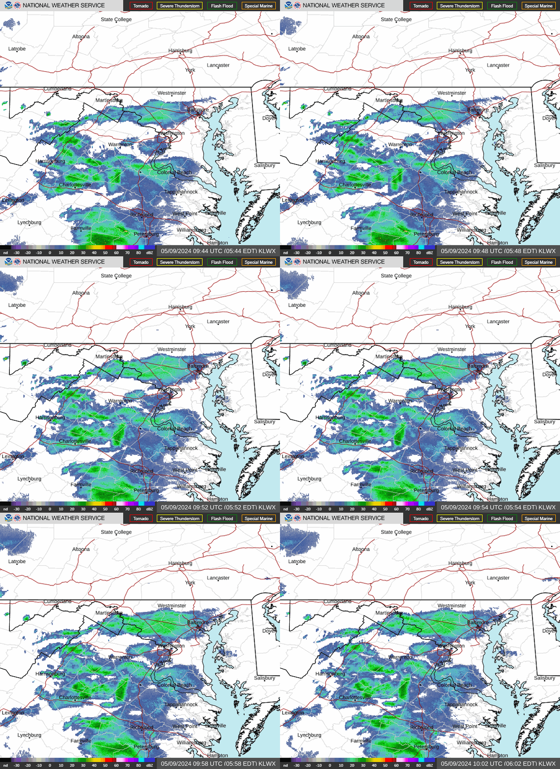
Radar — KLWX
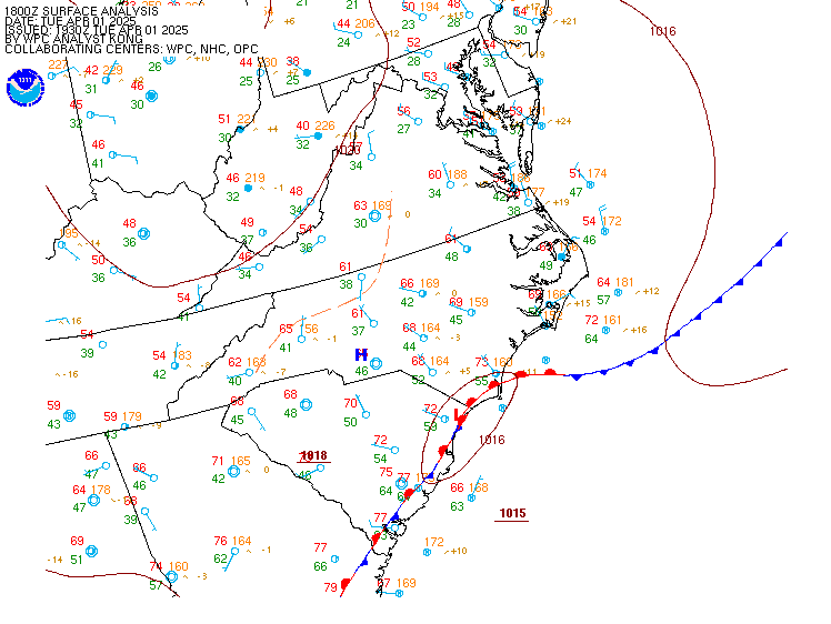
Surface Analysis — Eastern U.S. (Central)
Satellite

Log in to save this location.
Nearest monitored road: Bladen Street (Primary)
The forecast remains on track, so no major adjustments were necessary. The primary period of uncertainty continues to be sunday into early next week, as a frontal system meanders nearby. This is reflected in a highly uncertain temperature forecast.
- 1) turning warmer and more humid with a return of shower and thunderstorm chances for thursday and friday.
- 2) rain-free and less muggy conditions are likely on saturday, before the weather turns more unsettled again from sunday into next week.
Key message 1...turning warmer and more humid with a return of shower and thunderstorm chances for thursday and friday.
A ridge of high pressure, both at the surface and aloft, is continuing to provide sunny skies this afternoon, with temperatures heading well into the 80S for most areas. This will lead into a mostly clear start to the night, but cloudiness is expected to increase after midnight from the north and west (first encroaching on the alleghenies).
For thursday, the prospects for showers and thunderstorms will increase by mid to late afternoon, especially for the alleghenies, the shenandoah valley, and the metroplex. This is tied to a slow moving cold front, making a gradual approach from the ohio valley and pennsylvania. As you head farther southeast through virginia and into the coastal plain, the chances for rain should decrease. Thursday looks like the warmest day of the week, although this is contingent on how much sunshine/heating can take place earlier in the day. At this juncture, we're expecting highs well into the 80S again, with parts of the shenandoah valley up towards the metroplex perhaps making a run at 90.
By friday, the frontal boundary itself should be across central to southern va. This will lead to a continued chance of showers, along with somewhat cooler readings as compared to thursday.
Key message 2...rain-free and less muggy conditions are likely on saturday, before the weather turns more unsettled again from sunday into next week.
Current indications point to a rain-free start to the weekend, with the above mentioned cold front pushing down into the carolinas, and weak high pressure building down from the north.
However, signals also point to more unsettled weather from sunday into next week, as a persistent upper ridge axis gets shunted towards the deep south, allowing upper-level impulses to move across the mid-atlantic from the west. This should provide the impetus for at least hit and miss showers and thunderstorms on a daily basis.
15Z taf update for dca, iad and bwi features only very minor changes. Predominantly VFR conds are expected areawide through 18Z thurs. Expect a light southerly wind of 5-10 KTS this afternoon and generally light and variable winds tonight. A light southerly breeze will develop again on thursday.
Previous discussion below....
While canadian high pressure has slowly moved toward the atlantic coast, its influence will help maintain VFR conditions into thursday morning. Gradients remain weak with light southerly winds expected. Ahead of an approaching cold front, showers and thunderstorms return to the forecast on thursday. The western taf sites would see the most likely impacts, with convection likely to weaken further to the east. Outside of any storm development, VFR conditions continue on thursday with southerly winds around 5 to 10 knots. A cold front moves through the region early friday which yields a shift to northerly winds. Afternoon gusts could approach 15 to 20 knots, with any storm chances back toward central virginia.
High pressure passing to our north shifts winds out of the east to southeast saturday, turning southwesterly by sunday. Over the weekend, gusts up to 15 to perhaps 20 knots are possible. In general, expect predominantly VFR conditions to persist, but flight conditions could deteriorate as shower and thunderstorm potential increase late in the weekend.
Earlier elevated southerly winds have weakened with maximum gusts currently around 10 to 15 knots. Canadian high pressure remains nearby into tonight which will favor tranquil weather over the waterways.
By thursday, this ridge edges offshore ahead of the next cold front. Ahead of this system, southerly winds increase which could near small craft advisory levels on thursday afternoon/evening. This is particularly the case over wider waters of the chesapeake bay due to southerly channeling. The cold front crosses the waters early friday which shifts winds over to northerly. Breezy conditions in the wake could again near advisory levels. As high pressure tracks across southern quebec, marine winds turn northeasterly into friday night with gusts around 10 to 15 knots.
High pressure passing to our north shifts winds out of the east to southeast saturday, turning southwesterly on sunday. Over the weekend, gusts up to 15 to perhaps 20 knots are possible.
As winds have turned more south to southeasterly, the onshore flow has raised tidal anomalies to just below 1 foot. This has been enough to push a few of the more sensitive locations into the action stage. Until the cold front moves through early friday, water levels will remain somewhat elevated. Although no tidal site is shown to experience any coastal flooding, it will need to be monitored. This is particularly the case at annapolis, especially during the higher of the two astronomical high tides.