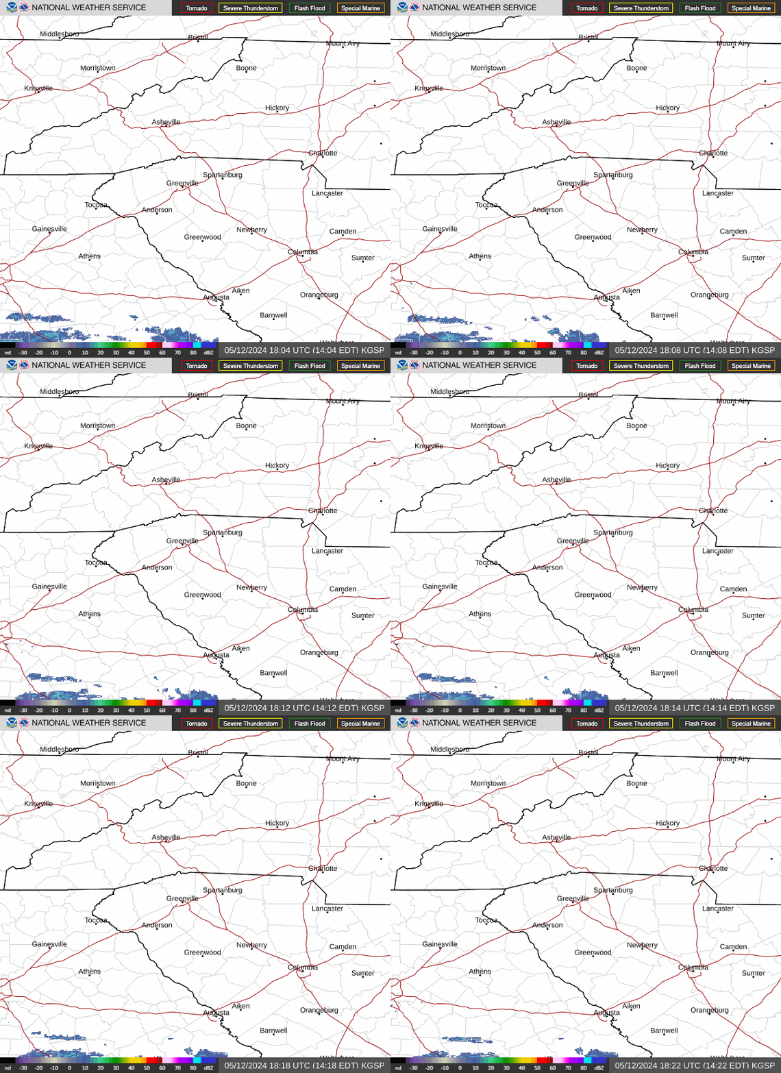
Radar — KGSP
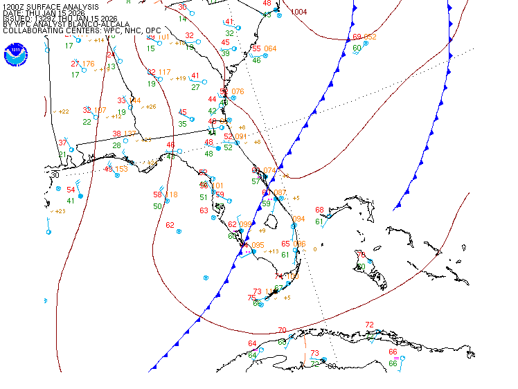
Surface Analysis — Eastern U.S. (South)
Satellite

Log in to save this location.
Nearest monitored road: US-25 (Primary)
Precip chances generally increased through the period as unsettled weather becoming more likely.
The aviation discussion was updated to reflect the recent 18Z taf issuance.
1. Summer like weather with hot conditions and afternoon showers and thunderstorms continue through monday. Precipitation chances continue tuesday and wednesday with temperatures dropping to near or even below normal.
Key message 1: summer like weather with hot conditions and afternoon showers and thunderstorms continue through monday. Precipitation chances continue tuesday and wednesday with temperatures dropping to near or even below normal.
Today will be the last dry day for a while as an unsettled weather pattern develops. An upper anticyclone over the area retrogrades to the lower ms valley through the weekend. Despite some ridging over the area extending eastward from the anticyclone, this doesn't prevent shortwaves from rounding the ridge and crossing the area from the north. In addition, an upper low undercuts the ridge and moves west across florida through the weekend. The northern stream waves push a backdoor cold front into the area friday, which stalls on saturday, then dissipates on sunday. The upper low helps produce a fetch of moisture from the atlantic into the area as well. After scattered diurnal mountain convection thursday, all these features will combine to produce more widespread convection friday and saturday. With the dissipating front, convection could again be more limited to the mountains. Highs rise into the low to mid 90S for all but the higher elevations by friday. They cool a little saturday but back to around 90 for sunday.
More shortwaves cross the area in the developing more zonal flow monday through wednesday. These help push another backdoor cold front into the area monday with a cold air damming-like high setting up into wednesday keeping the unsettled weather and precip chances in place. After another day with highs around 90 on monday, good cooling takes place with highs dropping to around normal for tuesday and a few degrees below normal for wednesday.
At kclt and elsewhere: areas of VFR stratocu this afternoon will dissipate around sunset. Expect mostly clear skies overnight with mountain valley fog/low stratus developing. Have included MVFR to LIFR restrictions at kavl. The fog dissipates by mid-morning with VFR cumulus developing by afternoon. Isolated to scattered afternoon convection expected across the mountains. Best timing for any impact at kavl is after this taf period. Light and variable wind, with a trend toward the south side, outside of the mountains through the afternoon. Kavl will see N wind with occasional low end gusts. Calm wind expected overnight. Wind picks up from the N at kavl on thursday with generally light and variable wind elsewhere.
Outlook: increased shower and thunderstorm chances with associated restrictions through monday. Mountain valley fog and low stratus will be possible each morning.