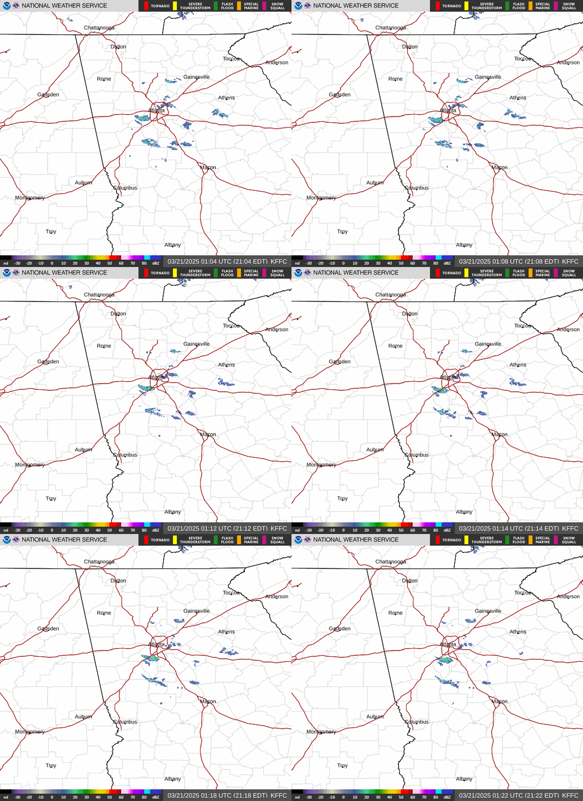
Radar — KFFC
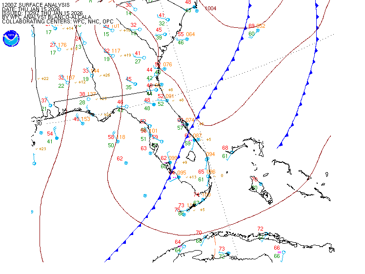
Surface Analysis — Eastern U.S. (South)
Satellite

Log in to save this location.
Nearest monitored road: West Dougherty Street (Secondary)
- warmer than normal conditions will persist through the weekend and into next week. Friday will be the warmest day of the period with highs in the mid 90S.
- dry conditions are expected today and thursday, with chances for scattered thunderstorms returning on friday into the weekend.
(this afternoon through thursday) issued at 205 PM EDT wed sep 16 2026
An anomalously strong mid-level ridge centered over northern georgia will continue to support broad subsidence over the region through the short term. At the surface, high pressure stationed off the northeast coast will continue to filter northeasterly winds through the region, continuing the influence of a modified wedging pattern. With easterly flow in place, expect breezy condition to develop for the remainder of the afternoon across the central georgia, with wind speeds around 5-10 MPH occasional gusts to 20MPH, primarily over the southern cwa. Low clouds associated with this feature have slowly burned off through the morning hours, giving way to a decent cumulus field this afternoon.
Any hope for cooler fall temperatures will have to wait a while longer, with highs climbing into the upper 80S to low 90S across most of the area this afternoon. The warmest temperatures will be concentrated in the far northwestern portions of our cwa. As far as precipitation is concerned, expect subsidence and dry air aloft areawide to limit our chances through the day. One benefit of the 'wedge' is that surface mixing with dry air aloft will lower dewpoints into the low to mid-60S, preventing more oppressive heat from being realized.
On thursday, the ridge axis will retrograde slightly to the west while the cad wedge lingers across portions of north georgia. This will lead to little change into prevailing flow pattern and sensible weather across north and central georgia. Low temperatures will range from the low to mid-60S over central georgia and the mountains, with upper 60S elsewhere. Highs will warm a degree or two as winds become more variable through the day. Expect dry conditions to continue, with only an isolated chance of a shower or thunderstorm, mostly over the northeastern portions of our area.
(friday morning through next tuesday) issued at 205 PM EDT wed sep 16 2026
As we approach the end of the work week, we continue to hold on to unseasonably warm temperatures across much of the cwa. Highs in the low to mid 90S with apparent temperatures in the triple digits will continue into the weekend.
Thunderstorm chances during the afternoon will be down to less than 20% for much of the area through the week. The ridge is finally expected to break down sunday into monday as a front approaches. Isolated thunderstorms will be possible on sunday afternoon, becoming more widespread on monday but total rainfall is expected to be less than an inch for much of the cwa through the forecast period.
The front will bring afternoon thunderstorms back into the forecast to start off next week. This will help to moderate temps down to the upper 80S and low 90S, but still warm for this time of year.
(18Z tafs) issued at 131 PM EDT wed sep 16 2026
VFR/low-VFR conditions will prevail under high pressure conditions through the period. Expect a scattered cu field to become mostly clear over the area into the evening. Surface winds will be from the east to northeast around 5-10KTS with a few low end gusts possible, becoming light and variable after 02Z. High pressure conditions will limit precipitation chances through the overnight hours.
//atl confidence...18Z update...
High confidence on all elements.
82
Athens 65 92 68 96 / 0 0 0 10 atlanta 69 92 71 96 / 0 0 0 10 blairsville 63 89 65 89 / 0 20 0 40 cartersville 68 94 69 97 / 0 0 0 10 columbus 67 92 68 95 / 0 0 0 10 gainesville 67 92 70 95 / 0 10 0 20 macon 65 91 66 94 / 0 0 0 10 rome 68 95 69 98 / 0 0 0 10 peachtree city 65 92 67 95 / 0 0 0 10 vidalia 66 90 67 92 / 0 0 0 0