Radar — KGYX
Surface Analysis — Eastern U.S. (North)
Satellite

Log in to save this location.
Nearest monitored road: US-202 (Primary)
A minor increase in rain amounts for thursday evening, as well as an increase in expected wind gusts for friday.
1. A disturbance will bring a period of rain and showers through southern new hampshire into southern maine thursday afternoon and evening.
2. Expect dry and breezy conditions friday with cooler temperatures and fair weather prevailing through most of the weekend. Chances for rain showers increase again on sunday, especially across southern new hampshire and southwest maine.
Key message 1 description...
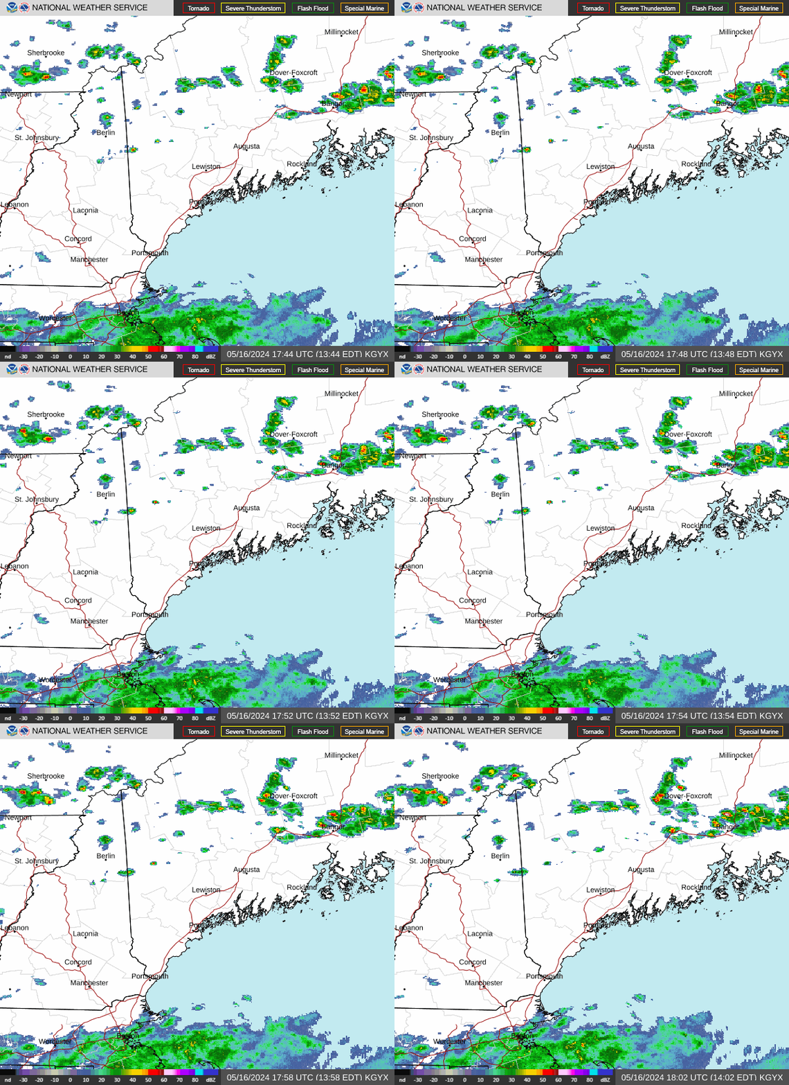
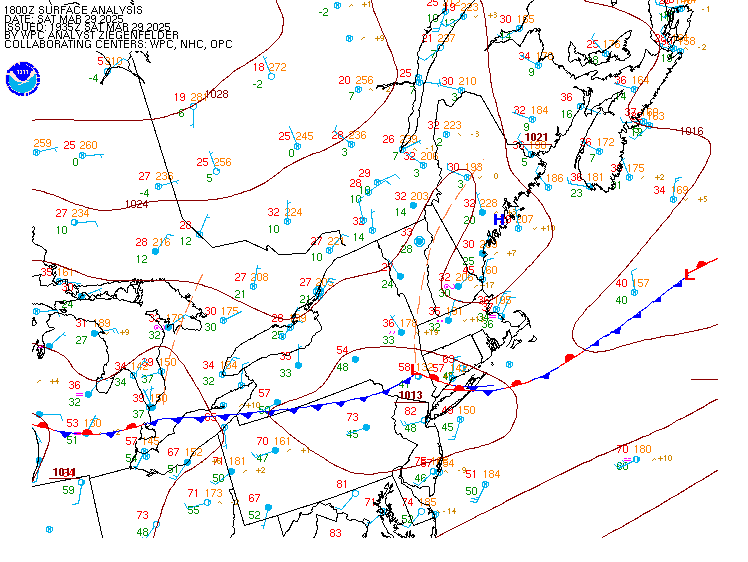
A cold front will continue to slowly pass overhead, stalling over the coastal waters this evening. Lifting low pressure to the west will track towards the region, advancing this front northward again thursday as a warm front.
Clouds will tend to fill in tonight, with mostly overcast skies come thursday morning. The thickening clouds will tend to help insulate temps tonight, with lows remaining in the mid 50S to around 60 despite calm winds. Dry conditions prevail through thursday morning, but shower chances increase across western nh into mid- afternoon. Compact low will begin to strengthen as is passes through central new england and southern nh into southern me. Overlapping with a brief deep moisture profile, an area of rain should develop and expand as it nears coastal me. This should be fairly progressive, and only a narrow corridor may see beneficial rainfall vs. Lighter more showery conditions outside. Because of the antecedent dry conditions, there is little to no threat of flooding.
Rain should be exiting the coastal communities after midnight and before daybreak, with improving conditions into the day friday.
Key message 2 description...
An upper low will move into the gulf of saint lawrence from quebec during the day on friday as a surface cold front moves off into the atlantic. High pressure will start to nudge in behind the front, tightening the pressure gradient while ushering in strong cold air advection and steep low level lapse rates. These factors all point to quite a windy day on friday with forecast soundings suggesting the potential for some gusts in the 30 to 35 MPH range out of the northwest. A few spotty showers and/or lingering clouds may remain in place over the mountains but most will see dry weather plenty of sunshine. Winds should diminish rather quickly as we lose daytime heating and the pressure gradient starts to relax a bit.
Saturday will see lighter winds as the center of high pressure moves into quebec. This pattern will also lead to plenty of sunshine and below normal temperatures with highs mainly in the low to mid 60S.
The next shortwave and cold front will start to approach on sunday which will lead to our next chances (40 to 70 percent) for rain. While there is still plenty of uncertainty regarding timing and the eventual track, models have started come into better agreement that southern new hampshire and southwest maine will see the best chances. The nbm currently suggests that these areas have a 40 to 50 percent chance of a half inch of rain or greater while probabilities decrease moving north and east. Most of the rain will move out sunday night and we should remain dry until the next front approaches sometime mid to late week. Temperatures should remain below normal well into next week with highs mainly in the 60S.
Through 18Z thursday...VFR this afternoon and evening, with some MVFR cigs towards the US/can border. There will be some thickening and lowering cloud bases overnight areawide. These could approach MVFR for nh terminals and towards aug in me. Guidance suggests some marine stratus and fog developing over the coastal waters, and this could near rkd/pwm overnight, but should remain offshore for the most part. This cloud cover should stave off fg/br development at most sites, but still can't rule out minor vis reduction before daybreak. MVFR may be more widespread thursday, with lowering bases continuing across southern nh and coastal me. IFR will be possible by mid afternoon here.
Outlook...
Thursday night: shra and a period of ra will move across southern nh and south/coastal me overnight. This should bring IFR cigs to southern terminals, with gradual improvement towards VFR after midnight.
Friday: VFR conditions expected. Northwest wind gusts of 25 KT possible.
Saturday: VFR conditions expected.
Sunday and sunday night: rain showers and local MVFR or lower conditions possible.
Monday: VFR conditions expected.
Winds and seas are expected to remain below sca thresholds through the remainder of the week and likely into the weekend. The cold frontal passage fri will bring some breezy conditions to the waters and maybe a few 25 KT gusts into early sat however.