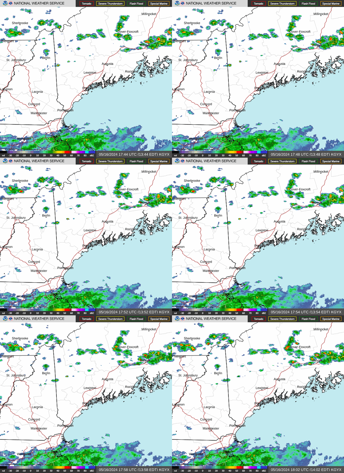
Radar — KGYX
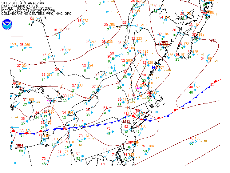
Surface Analysis — Eastern U.S. (North)
Satellite

Log in to save this location.
Nearest monitored road: Main Street (Primary)
- raised winds for friday over land and friday night over the water.
1) chance for rain showers thursday evening into friday, though little to no drought improvement anticipated.
2) gusty winds from the northwest during the day friday could lead to isolated power outages.
Key message 1...chance for rain showers thursday evening into friday, though little to no drought improvement anticipated.
Key message 1 description... A low pressure system centered over the hudson bay will move eastward across quebec on thursday, dragging a cold front through new england thursday evening into friday. Highest chance of precipitation will be along the downeast coast thursday evening into night. Dry air and lack of strong forcing should keep the north relatively dry thursday night. There is still a fair amount of uncertainty in how far north the rain makes it thursday night. Feel pretty confident the coast will get some rain, but not sure if it will get north of bangor. Amounts downeast are pretty uncertain, with as little as a tenth of an inch and as much as two thirds of an inch depending on the track of the system. The area remains under d0-d2 (abnormally dry to severe drought) conditions, and the anticipated rainfall is not expected to improve this. During the day friday, there is a chance of showers in the north with cold advection, but any measurable rain from this is expected to be extremely minor and likely less than one quarter inch if any does fall.
Key message 2...gusty winds from the northwest during the day friday could lead to isolated power outages.
Key message 2 description... Cooler air moving in, with a strong pressure gradient, will lead to gusty winds over land during the day friday. Anticipating max gusts 30-40 MPH, with about an equal threat areawide. This will be strong enough to lead to isolated power outages. The primary threat is during the day friday from mid-morning to sunset.
Tonight...mainly VFR, then lowering to MVFR/IFR in patchy fog late. Light and variable winds.
Thursday-thursday night...VFR early, becoming MVFR/IFR in rain, mainly for southern terminals like bhb/bgr. Light and variable winds.
Friday...VFR with a chance of intermittent MVFR cigs for northern terminals. Windy with NW winds 15-20 KTS with gusts 25-35 KTS.
Friday night-saturday...VFR. NW winds around 10 KTS with gusts up to 20 KTS.
Sunday...uncertainty in the track and timing of possible rain event (about a 30 percent chance of rain).
Monday...VFR. NW winds around 5 KTS.
Winds and seas will remain below 25 KTS/5 ft through friday, though winds are expected to increase friday night with gusts up to 30 KTS and then become light again by late saturday. Seas 1-2 ft for intercoastal and coastal waters, 3-4 ft for outer waters. Chance for fog early morning this morning, and thursday morning. Rain moves in thursday night into friday. S/SW winds today, shifting E thursday.