Weather Lookup

Current Conditions — KBDN

66°F Mostly Clear
💧 Humidity 49%
💨 Wind 5 mph NNW
👁 Visibility 10.0 mi
🌡 Pressure 30.05 inHg

Hourly Forecast — Bend,OR

11:00 PM 64°F Mostly Clear 💨 2 mph N
12:00 AM 62°F Mostly Clear 💨 1 mph NW
1:00 AM 59°F Mostly Clear 💨 1 mph W
2:00 AM 57°F Partly Cloudy 💨 0 mph
3:00 AM 54°F Mostly Clear 💨 0 mph
4:00 AM 52°F Mostly Clear 💨 0 mph
5:00 AM 52°F Patchy Smoke 💨 1 mph W
6:00 AM 51°F Patchy Smoke 💨 0 mph
7:00 AM 54°F Patchy Smoke 💨 0 mph
8:00 AM 57°F Patchy Smoke 💨 0 mph
9:00 AM 61°F Patchy Smoke 💨 1 mph NE
10:00 AM 68°F Patchy Smoke 💨 1 mph NE
11:00 AM 72°F Patchy Smoke 💨 2 mph NE
12:00 PM 76°F Patchy Smoke 💨 3 mph N
1:00 PM 80°F Patchy Smoke 💨 3 mph N
2:00 PM 83°F Patchy Smoke 💨 5 mph N
3:00 PM 84°F Patchy Smoke 💨 6 mph N
4:00 PM 84°F Patchy Smoke 💨 6 mph N
5:00 PM 85°F Sunny 💨 7 mph N
6:00 PM 83°F Clear 💨 7 mph N
7:00 PM 81°F Clear 💨 7 mph N
8:00 PM 78°F Mostly Clear 💨 5 mph NW
9:00 PM 72°F Mostly Clear 💨 5 mph NW
10:00 PM 68°F Mostly Clear 💨 5 mph NW

Daily Forecast — Bend,OR

Tonight 50°F Mostly Clear then Patchy Smoke 💨 2 mph NW
Wednesday 86°F Patchy Smoke 💨 0 to 7 mph N
Wednesday Night 51°F Mostly Clear 💨 2 to 7 mph W
Thursday 86°F Sunny 💨 1 to 8 mph N
Thursday Night 52°F Mostly Clear 💨 2 to 8 mph W
Friday 91°F Sunny 💨 1 to 7 mph N
Friday Night 54°F Mostly Clear 💨 3 to 7 mph NW
Saturday 83°F Sunny 💨 3 to 10 mph W
Saturday Night 46°F Mostly Clear 💨 0 to 10 mph W
Sunday 79°F Sunny 💨 0 to 8 mph N
Sunday Night 46°F Mostly Clear 💨 0 to 8 mph NW
Monday 82°F Sunny 💨 0 to 7 mph NE
Monday Night 52°F Mostly Clear 💨 0 to 7 mph NW
Tuesday 88°F Sunny 💨 0 to 8 mph N

🚗 Road Conditions

Good

Nearest monitored road: Northwest Franklin Avenue (Secondary)

11:45 PM Good
12:00 AM Good
12:15 AM Good
12:30 AM Good
12:45 AM Good
1:00 AM Good
2:00 AM Good
3:00 AM Good

Forecast Discussion — PDT

View Full Discussion on NOAA →

Key Messages

- mostly warm, dry conditions persist through the next few days.

- elevated fire weather conditions for wind/low rh continue.

- small chance (0-10%) of dry thunderstorm development across the southern blues and eastern mountains wednesday and thursday.

Discussion

Current satellite shows a few cumulus clouds across the cascades with mostly sunny conditions across most of the region. Smoke and haze originating from wildfires in central oregon through parts of the southern blues is clearly visible streaming from the SW to NE, bringing hazy conditions across the colombia basin. An air quality advisory initiated via the department of environmental quality is in effect through much of the colombia basin and blue mountains through noon tomorrow due to ongoing smoke transport.

Synoptically, southwest flow continues and will persist through the next couple of days as a trough just offshore of british colombia paves way through the pacnw through friday evening. Periods of embedded shortwaves within the trough will bring very low chances of dry thunderstorm development (0 to 10 percent chance) across portions of the southern blues and eastern mountains, potentially triggering new ignitions. Deterministics wednesday and thursday advertise a pocket of very slight moist air with 45-65% rh in the low to mid levels passing through the southern blues and eastern mountains, along with 150-300 j/kg of mucape developing during peak heating according to the refs. Precipitable water values stay at below 1.00 inch in the development region (80-90% chance), suggesting any thunderstorm that initiate will be mostly dry in nature with little to no potential for wetting rains to occur.

As the trough approaches the area early saturday morning to afternoon, tight pressure gradients will develop and bring gusty to locally windy conditions across the region. Areas across the kittitas/yakima valley's, columbia basin of oregon, and the cascade gap region have the greatest chance of exceeding wind advisory criteria (>45 MPH gusts) saturday. Chances of exceedance reaches 50-80% across the mentioned areas, with wind highlights possible as we get closer to the event. This will also consequently enable to the potential of elevated to critical fire weather conditions developing saturday. Joint probabilities of 25% or less humidity and sustained winds of 20 MPH or more are advertised at 15-35% chances by 5 PM saturday. Will monitor for the trend going through tomorrow to see if fire weather highlights are warranted.

Aviation — 06Z Tafs Through 06Z Thursday

VFR conditions to prevail through the period. Low confidence (15-25%) in smoke impacts at sites through the period. Winds will increase to 12-18KTS with gusts to around 25KTS at site dls, with periodic gusts up to 20KTS at sites rdm/bdn in the afternoon. Winds will otherwise be light through the period. Lawhorn/82

Radar — KRTX

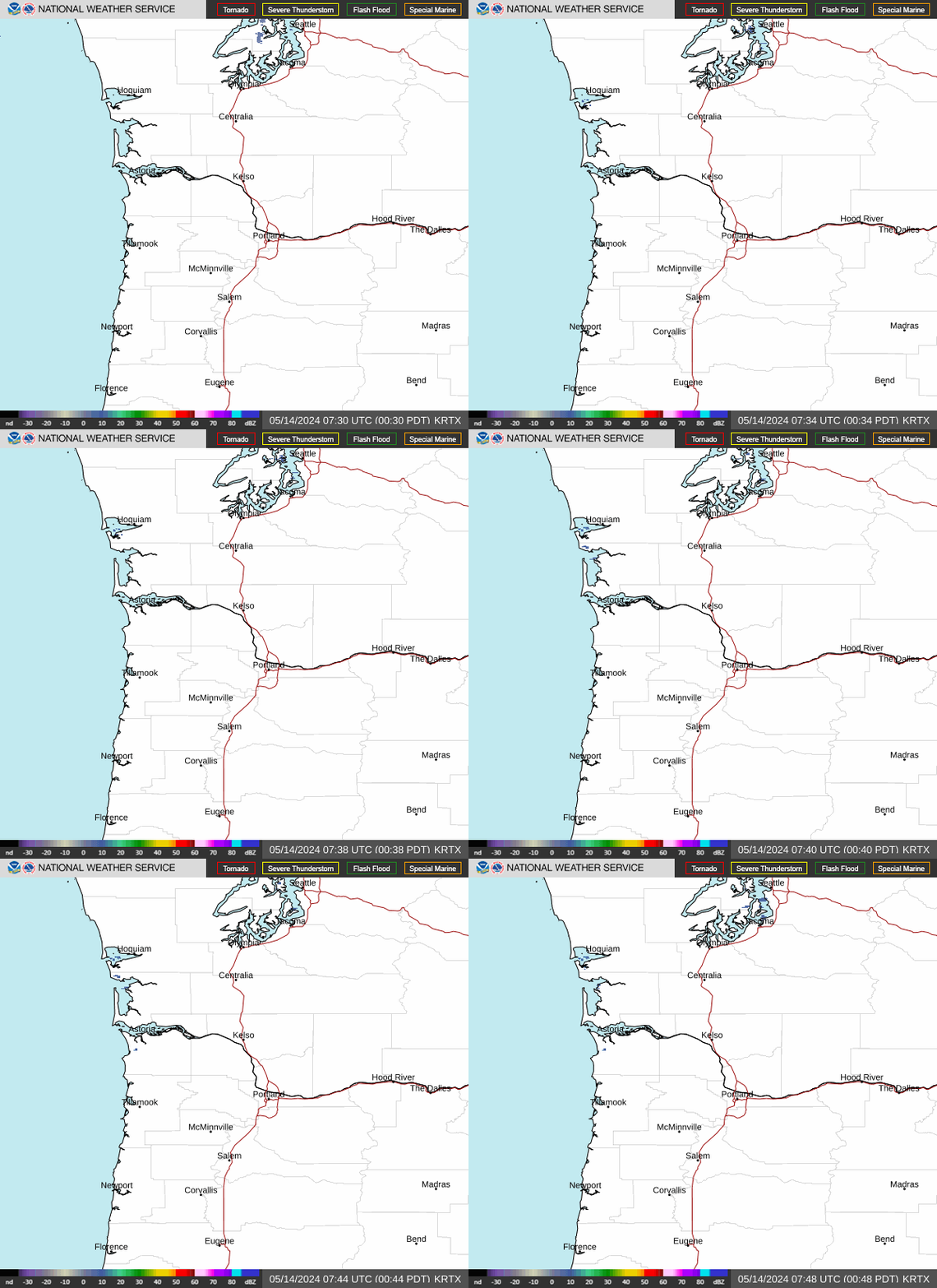
Radar loop for KRTX

Surface Analysis — Western U.S. (North)
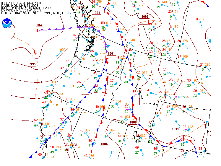
Surface map for Western U.S. (North)

Satellite

Satellite imagery
Expanded view