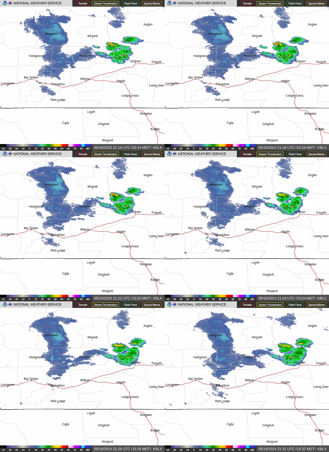
Radar — KBLX
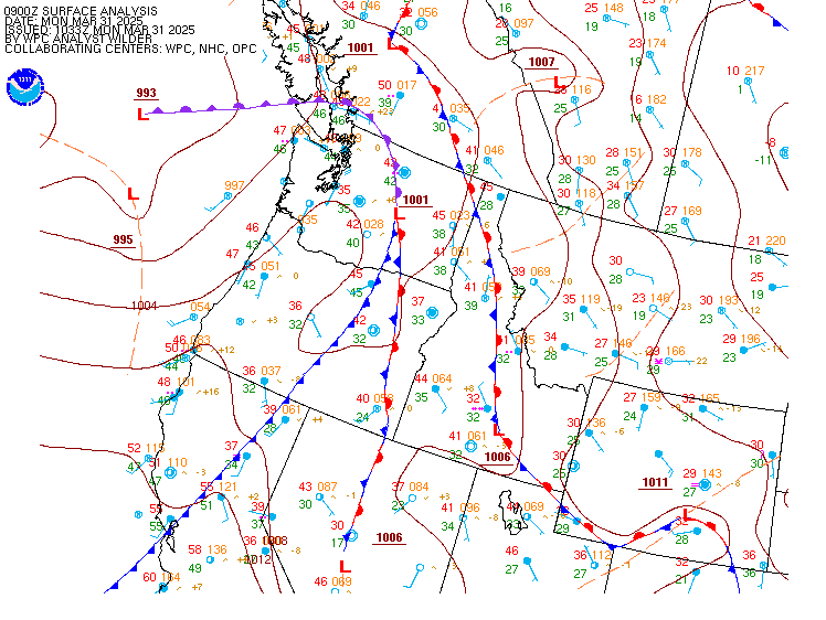
Surface Analysis — Western U.S. (North)
Satellite

Log in to save this location.
Nearest monitored road: Montana Avenue (Secondary)
- isolated to scattered showers and thunderstorms thursday afternoon and evening. Locally heavy rain possible over SE montana with any showers/thunderstorms.
- a few strong thunderstorms are possible from billings east friday afternoon into the evening hours.
- strong precipitation chances spread across the area from friday afternoon through the weekend, with the potential for locally heavy rainfall widespread through saturday night. - chances for widespread weekend precipitation accumulations of more than a half an inch sits at 80+% for most areas, with chances for more than an inch showing 60-70% probabilities.
Rest of today through next tuesday...
Weak ridging over the area today keeping quiet and mostly sunny conditions over the area this afternoon. A disturbance crossing S. Canada just north of the montana border is pushing a weak northerly wind shift through the area at this time, with a reinforcement of the cooler air we have seen over the past few days. Generally light winds tonight may allow patchy fog to develop over river valleys tonight, mainly east of billings. Otherwise a quiet and seasonally cool night anticipated across the region.
Low level winds turn southeasterly tomorrow and work to advect in plains moisture to the area through the day. At the same time a deepening upper low over norcal will drift this direction, with energy rotating around the eastern side of the low pushing up into our area by mid afternoon. This energy will be enough for isolated to scattered showers and a few thunderstorms to develop over southern zones during the afternoon hours. Will have to keep an eye on convection over SE montana through thursday evening where the strongest moisture advection arrives during this period with a few models showing locally heavy rainfall not too far away from carter/fallon counties. PWAT values climb to 200% of normal thursday night.
There may be a few showers lingering overnight into friday morning, but overall this period looks to be a break before stronger forcing and more widespread precipitation develops for friday afternoon through saturday night. There is a period friday afternoon into friday evening where SHEAR and CAPE profiles combine to provide the potential for a few strong to possibly severe thunderstorms. Models are not in great agreement with exactly where the highest potential for strong storms will be, but areas just east of billings seem to be the area models want to get storms going early to mid afternoon, slowly spreading eastward through mid evening. Ai/ml guidance has a 5 to 15 percent severe threat over this area. SPC will likely wait to see a better model consensus as the hi-res cam models start to advertise this period before adjusting the general thunderstorm outlook upward. So, if you have outdoor plans friday afternoon, be prepared for thunderstorm activity, with a few strong storms (hail/strong winds/very heavy rainfall) possible.
Precipitable water values reach 200-225% of normal friday afternoon through saturday across the entire forecast area. This moisture will present the potential for locally heavy rainfall during this period. Latest model runs continue to move the slow moving norcal low in a favorable track for a widespread long duration precipitation event over the area. 13Z nbm is showing probabilities for half an inch or more precipitation accumulation at above 80% for most of the area from friday afternoon through sunday morning. Probabilities for an inch or more are above 60% for most of the area. These high probabilities are due to both the ECMWF and GFS ensembles showing very similar storm tracks and moisture profiles for this weekend. That good agreement is driving the high nbm probabilities, along with the unusually high atmospheric moisture levels over the region. WPC has a marginal risk for excessive rainfall over the area both friday and saturday now. So, plan on a wet weekend, especially saturday, if you have outdoor plans and ave a way to get weather alerts in case flood advisories or warnings become necessary.
GFS ensemble grabs the upper low and quickly shifts it east of the area on sunday, ending precipitation chances for all but the far eastern zones by early afternoon. ECMWF ensemble is slower with this progression and lingers more widespread precipitation chances into monday morning, before pushing east of the area monday afternoon. Nbm combines these and dries out the western foothills sunday afternoon, but keeps chance or better precipitation chances going over central areas into sunday night with precipitation chances finally drying up by monday afternoon over carter/fallon counties.
This system continues to look significantly warmer than last weekends system. As such, the forecast for snow levels remains at the highest elevations of the beartooth/absaroka/crazy mountains, with forecast accumulations through the weekend staying under 5 inches. Will continue to monitor the snowfall situation to see if impacts to the beartooth highway would necessitate an advisory, but at this time it doesn't appear an advisory will be needed. Chambers
18Z taf and aviation discussion...can't rule out patchy river valley fog across the area after midnight tonight. Any fog will linger through 15-16Z thursday morning with local IFR or lower conditions possible. Otherwise VFR conditions will prevail through thursday morning. Isolated to scattered showers/thunderstorms are expected thursday afternoon over the southern tier of the forecast area, drifting north into the evening hours. Locally heavy rainfall is possible for any activity over SE montana, with brief IFR conditions near precipitation areas.
North to northeast winds will gust 10 to 20 KTS this afternoon into early evening. Winds will be generally light tonight (klvm reverse gap winds the exception) with a slow shift to the southeast by morning. Southeast wind gusts will reach 25 KTS on thursday over SE montana (kmls/kbhk), while the rest of the area continues to see generally light southerly winds. Chambers
Thu fri sat sun mon tue wed ----------------------------------------------------------- bil 047/077 055/081 056/067 053/073 051/077 051/078 050/077 00/b 14/t +9/t 74/W 10/u 00/u 00/u lvm 045/079 050/077 048/067 046/074 046/078 047/078 046/078 03/t 38/t 98/t 61/b 00/u 00/u 01/u hdn 045/081 052/082 053/069 049/073 047/078 047/079 046/080 00/b 13/t +9/t 75/t 20/u 00/u 00/u mls 048/081 059/083 057/069 053/071 051/075 051/077 050/078 01/b 12/W 99/t 86/W 31/b 00/u 00/u 4bq 050/080 059/082 057/071 054/070 052/073 052/076 051/079 02/W 31/b 99/t 88/t 42/W 00/u 00/u bhk 043/078 053/080 051/068 049/070 047/074 047/076 046/079 01/N 21/b 99/t 87/t 42/W 00/u 00/u shr 044/079 050/081 050/068 046/071 045/076 044/077 044/080 03/W 25/t 99/t 87/t 31/u 00/u 01/u