Weather Lookup

Current Conditions — KBHM

84°F Clear
💧 Humidity 74%
💨 Wind 6 mph W
👁 Visibility 10.0 mi
🌡 Pressure 29.86 inHg

Hourly Forecast — Birmingham,AL

12:00 AM 81°F Partly Cloudy 💨 0 mph
1:00 AM 81°F Partly Cloudy 💨 0 mph
2:00 AM 80°F Partly Cloudy 💨 0 mph
3:00 AM 80°F Mostly Cloudy 💨 0 mph
4:00 AM 79°F Mostly Cloudy 💨 0 mph
5:00 AM 79°F Mostly Cloudy 💨 0 mph
6:00 AM 78°F Mostly Cloudy 💨 0 mph
7:00 AM 78°F Mostly Cloudy 💨 0 mph
8:00 AM 80°F Mostly Cloudy 💨 0 mph
9:00 AM 81°F Mostly Cloudy 💨 0 mph
10:00 AM 85°F Mostly Cloudy 💨 5 mph NW
11:00 AM 89°F Mostly Cloudy 💨 5 mph NW
12:00 PM 91°F Mostly Cloudy 💨 5 mph NW
1:00 PM 91°F Slight Chance Showers And Thunderstorms 💨 5 mph NW
2:00 PM 92°F Slight Chance Showers And Thunderstorms 💨 5 mph NW
3:00 PM 91°F Slight Chance Showers And Thunderstorms 💨 10 mph NW
4:00 PM 91°F Slight Chance Showers And Thunderstorms 💨 10 mph NW
5:00 PM 91°F Slight Chance Showers And Thunderstorms 💨 10 mph NW
6:00 PM 88°F Slight Chance Showers And Thunderstorms 💨 5 mph NW
7:00 PM 84°F Mostly Cloudy 💨 5 mph N
8:00 PM 82°F Mostly Cloudy 💨 5 mph N
9:00 PM 80°F Mostly Cloudy 💨 0 mph
10:00 PM 79°F Mostly Cloudy 💨 0 mph
11:00 PM 78°F Partly Cloudy 💨 0 mph

Daily Forecast — Birmingham,AL

Tonight 78°F Partly Cloudy 💨 0 mph
Wednesday 93°F Partly Sunny then Slight Chance Showers And Thunderstorms 💨 0 to 10 mph NW
Wednesday Night 73°F Slight Chance Showers And Thunderstorms then Mostly Clear 💨 0 to 5 mph N
Thursday 93°F Sunny 💨 0 to 10 mph NE
Thursday Night 70°F Mostly Clear 💨 0 to 5 mph NE
Friday 93°F Mostly Sunny 💨 0 to 5 mph N
Friday Night 74°F Mostly Cloudy then Chance Showers And Thunderstorms 💨 0 to 5 mph SE
Saturday 89°F Chance Showers And Thunderstorms then Showers And Thunderstorms 💨 5 to 10 mph S
Saturday Night 72°F Showers And Thunderstorms Likely 💨 5 to 10 mph S
Sunday 85°F Showers And Thunderstorms Likely 💨 5 to 10 mph SW
Sunday Night 71°F Showers And Thunderstorms Likely then Chance Showers And Thunderstorms 💨 0 to 5 mph S
Monday 86°F Chance Rain Showers then Chance Showers And Thunderstorms 💨 0 to 5 mph SW
Monday Night 72°F Chance Showers And Thunderstorms 💨 0 to 5 mph S
Tuesday 88°F Chance Showers And Thunderstorms 💨 0 to 5 mph SW

🚗 Road Conditions

Good

Nearest monitored road: 5th Avenue North (Secondary)

12:45 AM Good
1:00 AM Good
1:15 AM Good
1:30 AM Good
1:45 AM Good
2:00 AM Good
3:00 AM Good
4:00 AM Good

Forecast Discussion — BMX

View Full Discussion on NOAA →

Key Messages

Issued at 1028 PM CDT tue jul 28 2026

- heat: a major heat risk is expected on wednesday across central alabama, with maximum heat indices from 105 to 109 degrees. A heat advisory is now in effect.

- severe weather: there is a 1 out of 5 risk for severe thunderstorms across the southeastern portions of central alabama wednesday afternoon and evening. The main threat will be damaging straight-line winds.

Discussion

(wednesday through next tuesday) issued at 1028 PM CDT tue jul 28 2026

Water vapor imagery this evening reveals an upper level ridge out to our west and a trough moving towards the east coast. A few shortwaves can be seen between these two features. The first is currently guiding a cluster of thunderstorms across northern georgia. We will need to keep an eye on this activity for the next few hours as it has slowly begun building back to the west. The latest cams are in our favor with this activity fizzling out with only a stray shower or two moving into alabama late this evening. Another shortwave can be analyzed off to our west. This one will be responsible for our low to medium chances for showers and storms on wednesday. Activity on wednesday will generally be focused along and south of a boundary slowly moving south across the state. A few strong to marginally severe storms are likely across our southern areas during the afternoon as we reach peak heating and destabilize sufficiently. This trend will continue through the end of the work week as bouts of upper level energy rotate through the northwest flow aloft. Greatest rain chances thursday and friday will generally be across the southern part of the state. Another upper trough cuts across the plains into the ohio valley over the weekend. This will send a front our way, leading to increased rain chances over the weekend.

Wednesday looks to be another fairly uncomfortable day with highs in the low 90S for our northern counties to the mid 90S for our central and southern areas. Continued muggy conditions will warrant a moderate to major heat risk with heat indices around 105-109. Therefore, a heat advisory is now in effect for the southern half of the cwa on wednesday. We will knock off a couple of degrees thursday into the weekend as the ridge retreats back west. High temps look to settle into the upper 80S to low 90S by friday.

95/castillo

Aviation

(00Z tafs) issued at 601 PM CDT tue jul 28 2026

VFR conditions prevail throughout this taf cycle. Light westerly winds tonight will become more northerly through the day wednesday, generally from 8-10 knots. With that said, winds at auo will be a bit stronger with gusts up to 20 knots at times during the afternoon hours. There is a low (20-30%) chance of showers and storms towards the end of this taf window. As a result, a prob30 group was introduced to account for this activity.

Note: amd not sked for kauo due to a weather observation outage.

95/castillo

Fire Weather

A warm and humid air mass will help fire weather concerns in check for the week. Minrh values are expected to remain above 50 percent through wednesday. Some drier air begins to work in from the east on thursday and friday with rhs dropping to around 40%. However, winds will be light enough to negate any fire weather concerns.

Preliminary Point Temps/Pops

Gadsden 76 93 69 91 / 20 10 0 0 anniston 76 91 69 90 / 20 10 0 0 birmingham 78 93 72 92 / 10 20 10 0 tuscaloosa 78 95 74 94 / 0 30 20 10 calera 78 96 72 95 / 0 20 20 0 auburn 78 93 73 91 / 0 10 20 10 montgomery 78 97 74 95 / 0 30 30 20 troy 77 97 73 94 / 0 30 30 40

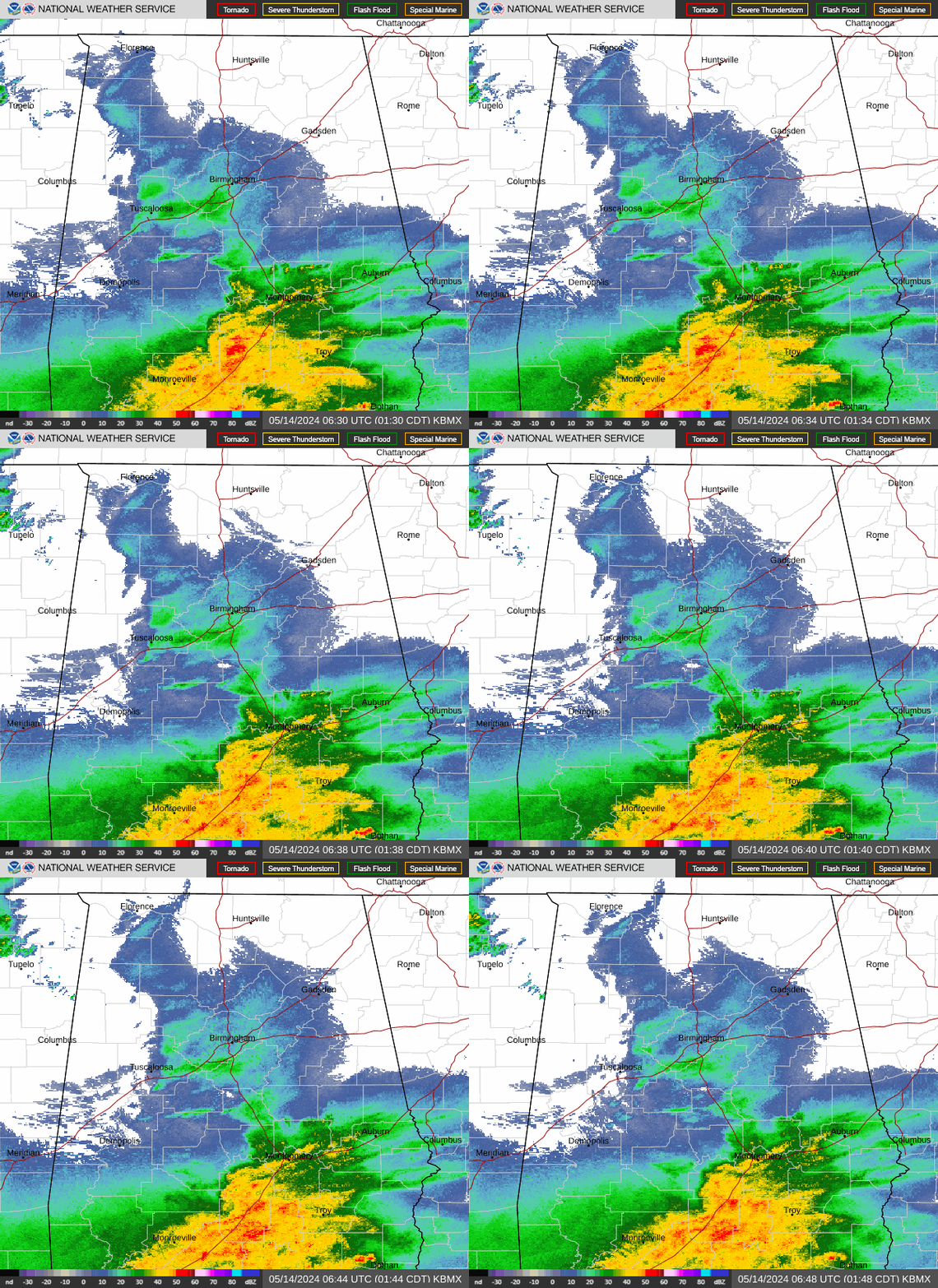
Radar — KBMX

Radar loop for KBMX

Surface Analysis — Central U.S. (South)

Surface map for Central U.S. (South)

Satellite

Satellite imagery
Expanded view