Radar — KBIS
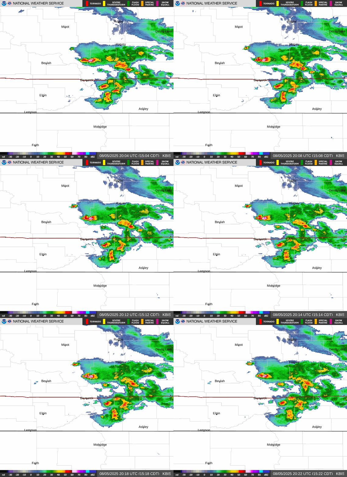
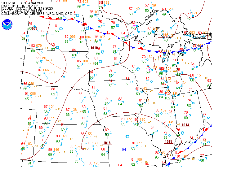
Surface Analysis — Central U.S. (North)
Satellite

Log in to save this location.
- patchy fog tonight, mainly across the western and central thirds of the state.
- seasonable temperatures through the end of week, with highs mostly in the 60S and 70S. Lows tonight could fall into the upper 30S in the far northwest.
- scattered showers today, then near daily chances for rain showers thursday thorugh sunday.
Issued at 130 PM CDT wed sep 16 2026
Currently near zonal flow is across the dakotas, with a large upper level low digging through northern california. At the surface a low pressure sits on the wyoming/south dakota border, with an area of rain showers ahead of the low in eastern south dakota and the eastern half of north dakota. The dry slot is in eastern montana and moving into western north dakota, eroding clouds from west to east.
Tonight the surface low will slide east through south dakota, while a surface high from southwestern canada slides into the northern plains. Widespread fog is forecast across western, northern, and central north dakota tonight as winds calm. The very near low pressure will continue to wrap the more moist air into the state overnight, despite the nearing high pressure. There is a low chance of frost in the far northwest where the high pressure will be near, however model runs today have increased temperatures closer to 40 degrees and try to hang on to more cloud cover through the night. That being said, there could be very localized frost in the lower valleys again.
The rest of this week, and into the weekend there will be near daily chances of rain. That upper level low currently in northern california is forecast to move east to the northern rockies, while creating southwest diffluent flow over the dakotas beginning thursday evening. Between thursday evening and sunday, QPF is around 0.60 in the far west and far southeast. Friday will also be breezy from the pressure gradient force between a low pressure and high pressure. Easterly winds are forecast to be 20-30 MPH across the southeast half of the state. Temperatures the rest of this week, and through the weekend will remain steady in the upper 60S to mid 70S, and lows in the upper 40S and lower 50S. After this upcoming weekend, weaker zonal flow looks to return with a thermal ridge mid-week, when temperatures could return back near 80.
Issued at 1228 PM CDT wed sep 16 2026
VFR this afternoon and evening, then areas of fog are possible in the west and central overnight. Vcfg was used in areas of lower confidence for now. Winds this afternoon will be southeast before becoming light and variable overnight. There are also chances for rain around and near kbis and kjms this afternoon.