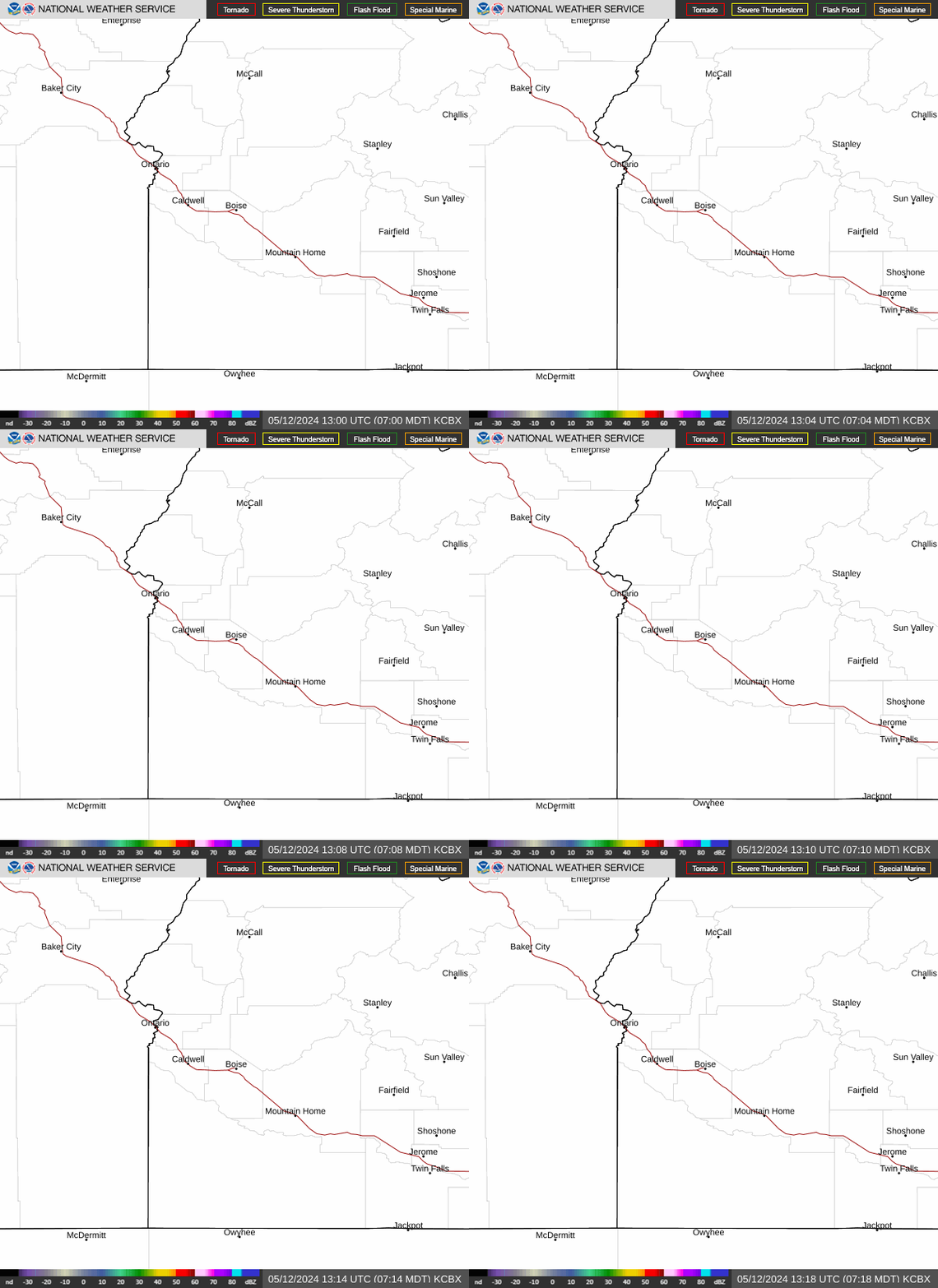
Radar — KCBX
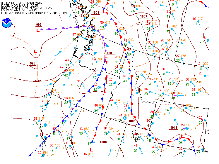
Surface Analysis — Western U.S. (North)
Satellite

Log in to save this location.
Nearest monitored road: US-20 (Primary)
- upper low pressure approaching from NE california will bring showers, scattered strong thunderstorms, and cooler temperatures through friday.
- strongest thunderstorms in central idaho with gusty outflow winds, hail, and brief heavy rain.
- gradual warming and drying trend beginning saturday and continuing through at least tuesday.
Southwesterly flow ahead of the approaching upper low will keep temperatures warm across the region today, with dry air preventing storm formation over the treasure valley and owyhee mountains in idaho and malheur county in oregon. Otherwise, showers and thunderstorms are expected to return this afternoon through evening over eastern or and the west-central id mountains. Latest satellite imagery shows some clearing and cumulus buildup over the aforementioned areas, aligning with the expected instability for this evening. Gusty outflow winds up to 50-60 MPH, small hail, and brief heavy rain are the main concerns. Abundant lightning is also likely with these scattered storms in the afternoon, and fast storm motion will also keep rainfall amounts low, especially over southeast oregon. This will increase the risk for lightning ignitions, prompting the red flag warning for scattered lightning through 9 PM MDT this evening. Conditions will cool 5-10 degrees friday as the low pressure system moves overhead. Scattered showers and isolated afternoon thunderstorms will occur again friday, with increased coverage over the treasure valley and malheur county. Showers will then taper off over the easternmost portions of the cwa on saturday with high pressure building back in over the region.
High pressure rebuilding over the region will return a slight warming and drying trend sunday through monday, with peak daytime temperatures expected to hover in the lower 80S for the treasure valley area. Late monday through tuesday, the area will be sandwiched between a shortwave trough steering across the lower great basin and a longwave pacific trough moving into the northwest coast. This pattern will keep US in moderated zonal flow aloft on tuesday, with seasonable conditions and a chance of showers near the id-nv border. Come wednesday, the area will come under a strong southwest flow ahead of the approaching pacific trough, continuing dry conditions and temperatures 5 to 10 degrees above normal through thursday.
Issued 1043 AM MDT thu sep 17 2026 VFR. Increasing clouds with isolated to scattered showers/thunderstorms developing from south to north, primarily near ktwf-kjer and kmyl-kbke later after 20Z. Storms capable of erratic outflows to 35 KT and small hail. Mountains obscured in precipitation. Surface winds: generally variable under 10 KT, becoming S-SW 5-15 KT with gusts up to 25 KT in the later afternoon. Winds aloft at 10kft msl: E-SE 15-30 KT.
Kboi...VFR with few-scattered mid-high clouds this afternoon. Surface winds: SW-SE 7-12 KT with gusts to around 20 KT, becoming variable under 8 KT in the evening.
Weekend outlook...brief MVFR and mountain obscuration in lingering showers/thunderstorms near kmyl and ktwf-kjer on saturday, with showers tapering off by midday. Expect VFR conditions otherwise through sunday with variable winds less than 10 KT overnight and in high terrain and NW 5-15 KT in valleys during the afternoon.