Radar — KESX
Surface Analysis — Western U.S. (Central)
Satellite

Log in to save this location.
* isolated-to-scattered showers and thunderstorms arrive this afternoon and linger into thursday morning with a focus across our eastern zones.
* elsewhere, expect breezy to south-southwesterly wind gusts until the weekend with dry conditions and near-normal temperatures.
Today through tuesday.
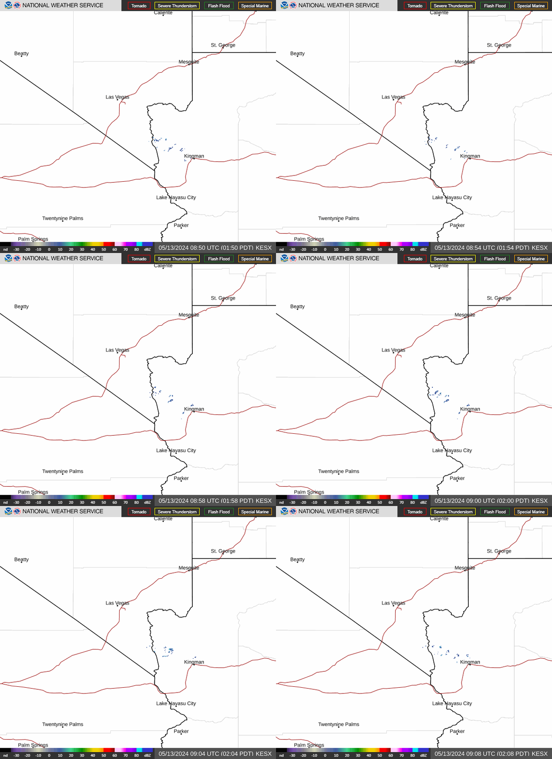
Shower and storm activity looks to build this afternoon in mohave co with initial convection starting southeast of lake havasu and spreading north through the late afternoon, and reaching lincoln co into the night. Fairly strong CAPE is making a good environment for thunderstorm growth, but the lack of sheer may prevent some storms from reaching severe status. The main threat from these storms looks to be the potential for flooding as storms could train over certain areas. Additional threats will be frequent lighting and locally strong gusts from stronger cells. While mohave and lincoln counties look to be the focus of the convection, isolated cells could cross into clark co, along with a few storms building along higher terrain in western clark co into nye co. Shower activity will stay with lincoln and clark counties through the night and through much of thursday morning before dissipating.
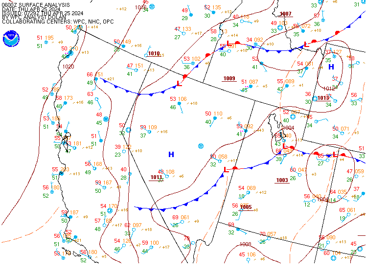
The active weather this afternoon and through the night comes along a pattern shift with a low passing over the area and a period of troughing to follow. This pattern will favor windy conditions today and tonight with widespread winds reaching 20 MPH and gusts peaking around 35 MPH. Some of the favored gaps and passes along with higher terrain could briefly exceed 40 MPH gusts. Winds look to reduce slightly for most areas into the night, but the higher terrain will stay windy. Widespread gusts will pickup again thursday afternoon, but uniformly reduce that night. Friday afternoon looks to be breezy as well, but overall winds ease into the weekend itself. The troughing pattern will keep high temperatures close to average for this time of year, but lows will still trend on the warmer side.
For harry reid...for the 18Z forecast package... Gusty SE winds have begun across the las vegas valley today. Similar to yesterday, a stronger easterly pressure gradient over the area may keep the easterly wind component around through mid afternoon. Confidence is low on the exact hour of the wind shift to S-SW, but current thinking is that it should occur after 20Z, potentially as late as 22Z. Expect gusts 20-25 KT while winds are SE, then gusts up to 30 KT possible late evening through 03Z after the SSW shift occurs. Late afternoon and evening thunderstorm activity is expected to remain east of the terminal over northwestern arizona and the mormon mesa corridor, with VFR conditions prevailing. Not currently expecting outflow from storms to impact the valley, but will monitor storm and outflow evolution closely. Few-sct clouds with bases around 10kft can be expected this afternoon and tonight, with temperatures remaining under 100 degrees.
For the rest of southern nevada, northwest arizona and southeast california...for the 18Z forecast package...southeast winds are increasing late this morning with gusts exceeding 20 KT in the crv. Expect a shift to the S-SW around 20-22Z. Gusts to around 25KT will be common across the region, with stronger gusts to around 30KT in the northern owens valley and along the lower colorado river valley where up-valley winds develop. Kdag is the usual exception with W winds around 10 KT persisting through the day, then expect the WSW push around and after 23Z with gusts 20-25+ KT into the early overnight hours. Elsewhere, speeds and gusts diminish after sunset, but hi-res guidance continues to indicate elevated winds and isolated gusts for the crv overnight with the potential for impacts from outflow boundaries. Thunderstorms are expected this afternoon and evening over eastern areas, and especially over northwestern arizona, with impacts from lightning and gusty outflow winds possible at both keed and kifp. Few-sct clouds with bases at or above 10kft are expected this afternoon onward for most of the region, with lower ceilings and greater coverage in the vicinity of thunderstorms.
Spotters are encouraged to report any significant weather or impacts according to standard operating procedures.