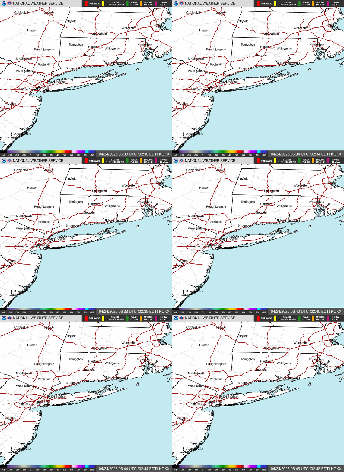
Radar — KOKX
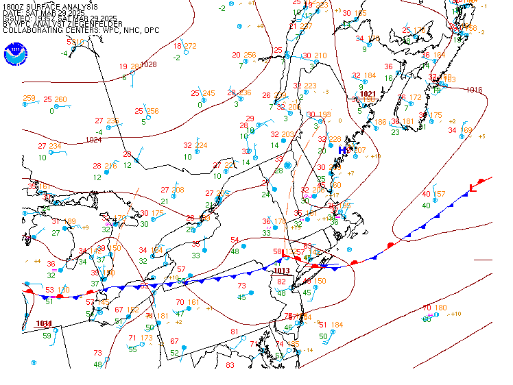
Surface Analysis — Eastern U.S. (North)
Satellite

Log in to save this location.
Nearest monitored road: Main Street (Secondary)
No significant changes.
1) shower chances into tonight, possibly a tstm especially NW of nyc. No impacts expected.
2) lowering humidity during friday with dry and pleasant weather through saturday.
3) wet weather expected for saturday night into sunday night. Conditions may remain unsettled into monday and tuesday.
.key message 1... An approaching cold front will bring chance of showers, possibly a tstm especially NW of nyc, into tonight. Rainfall amounts should be fairly light and under 1/4 inch, although locally higher amounts N and NW cannot be completely ruled out in any t-storm. The cold front should move across overnight from NW-SE, bringing showers to an end late tonight across eastern sections.
.key message 2... A cooler and drier air mass will gradually work in behind the cold front friday and into friday night. Dewpoints are forecast the gradually fall through the 60S during friday morning, and then through the 50S during the remainder of friday, and potentially into the middle and upper 40S by late friday night. This would allow temps in outlying areas to fall into the upper 40S and 50S by sat morning. With high pressure getting farther east during saturday afternoon and a developing E flow, daytime temperatures across portions of the area will not make it any higher than the lower 70S in the nyc metro area, and upper 60S to the north and east.
.key message 3... As high pressure departs the new england coast a warm front will approach from the WSW, bringing more clouds saturday night and the chance of rain late sat night, then likely/cat pop spreading east through the day on sunday. Pop should then trail off top chance from NW-SE late sunday night.
Ingredients are coming together for heavy rainfall and flood potential sunday afternoon and evening as a warm front and then weak sfc wave of low pressure approach and move across. Model guidance shows good SW moisture transport with pw increasing to over 2 inches, a deep warm cloud layer, strengthening/veering wind profiles in the h9-8 layer providing additional lift and waa, and the right rear quad of an upper level jet streak up across new england. Models disagree where axis of heaviest rainfall might occur (to be expected 3+ days out), with the ECMWF and GFS probabilities of 1+ inch rainfall in 24 hours more across the hudson valley/ct, and the deterministic GFS/NAM a little farther south closer to the nyc metro area and long island.
Afterwards, forecast confidence remains below average for mon- tue with uncertainty around the eventual positioning of the frontal boundary, so chance pop continues. By tue the area will be in between strong canadian high pressure and a weak low off the mid atlantic coast. Rain chances may decrease tue night into wed as the high dominates more at first, then increase later in the week as the offshore low gains more influence. E-NE winds should also become gusty from tue onward especially along the coast, with temps below normal, only reaching 60-65 for highs, and falling to the mid 40S-mid 50S for lows.
A cold front approaches and moves across the region tonight into early friday morning from NW to SE.
Mainly VFR conditions through the taf period. Some showers will be possible tonight ahead of and with the cold front which may produce a brief period of MVFR conditions. Can not rule out a slight chance of a thunderstorm north and west of the nyc terminals.
Southerly winds 5-10 KT for much of the taf period. Behind the cold front, winds will shift to the W-NW with wind speeds near 10 KT into early friday. A few occasional gusts into the upper teens can not be ruled out friday late morning/early afternoon.
...ny metro (kewr/klga/kjfk/kteb) taf uncertainty...
Amendments possible for showers late this afternoon/early evening.
.outlook for 18Z friday through tuesday...
Friday: a few possible showers, mainly east of nyc terminals early. MVFR or lower possible in the morning, but mainly VFR.
Saturday: VFR.
Saturday night-sunday night: showers move in late saturday night, then become widespread sunday into sunday night. A slight chance of thunderstorms. MVFR or lower possible at times. Southerly wind gusts near 15-20 KT sunday and sunday night.
Monday: MVFR or lower possible with possible showers. NE wind gusts near 15-20 KT.
Tuesday: MVFR or lower in possible showers.
Detailed information, including hourly taf wind component forecasts, can be found at: https:/www.weather.gov/zny/N90
Sub sca cond expected through sunday. By mon, E-NE flow will strengthen, with gusts over 25 KT on the ocean and ern sound. On tue, gales are possible on the ocean with gusts 35-40 KT, with sca cond on the non ocean waters where gusts 25-30 KT possible.
Rip currents: winds turn offshore and out of the N-NW on friday. A moderate risk should linger through the morning, with the risk trending toward low later in the day. Offshore winds continue into saturday morning with more alongshore winds by afternoon but lessening in intensity. This should allow for a potential for a moderate risk of rip currents.