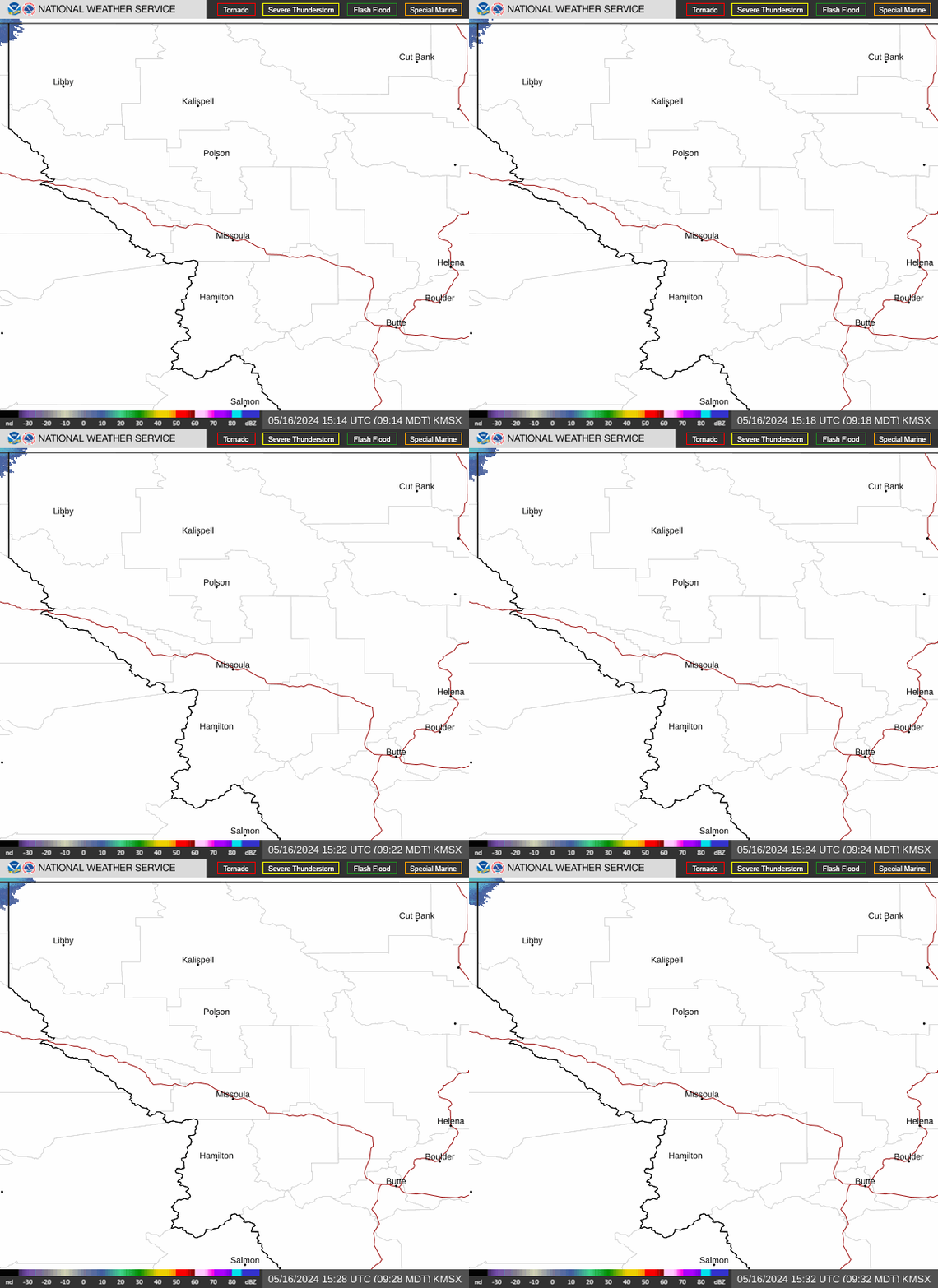
Radar — KMSX
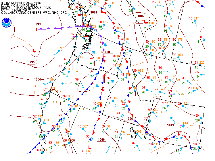
Surface Analysis — Western U.S. (North)
Satellite

Log in to save this location.
Nearest monitored road: South Main Street (Secondary)
Key messages:
- warm and dry today with sunny skies; breezy easterly winds developing this evening.
- showers and thunderstorms thursday into friday, generally south of highway 12 and i-90. Storms will be capable of brief heavy rain, small hail, and sudden wind gusts up to 45 MPH.
- another warming and drying trend sunday through early next week.
A brief area of high pressure over the region today will bring pleasant, sunny, and near-normal temperatures, with highs reaching the 70S in western montana and the 80S in idaho. Northeast winds of 10 to 15 MPH with gusts around 20 MPH will develop this afternoon. After sunset, winds will increase, bringing easterly wind gusts over 20 to 25 MPH, particularly in narrow valleys along and west of the continental divide and along the eastern shores of flathead lake.
A low-pressure system will approach southwest idaho on thursday, drawing a surge of monsoon moisture into the area. Combined with strong wind SHEAR (changing wind speeds and direction with height), this system will trigger thunderstorms capable of producing heavy rain, lightning, gusty winds, and small hail. On friday, afternoon heating could increase instability once again, elevating the threat for strong storms capable of producing larger hail (around 1 inch in size). The highest chances for these thunderstorms will focus across central idaho and west-central to southwest montana, northwest montana will experience much lower chances for thunderstorms, though a few showers are possible. While northwest montana will largely miss out on the activity, sudden wind gusts from the storms much further south are expected to move into the mission and flathead valleys thursday evening and friday. If you have plans to be on flathead, swan, or seeley lakes, expect to experience sudden gusty winds out of the south after 8 PM.
As the low-pressure system exits the region on saturday, the focus for showers and thunderstorms will shift east of the US-93 corridor into central montana, leaving the lower valleys of idaho mostly dry with warming temperatures. High pressure will then build across the region from sunday into early next week. Expect patchy morning fog in river valleys followed by afternoon highs potentially reaching the 80S in missoula and the lower valleys of idaho. There will also be increasing chances for morning frost by mid-week through this weekend. By mid-week, there remains around a 50 percent chance that a passing cold front could bring breezy conditions and cool down the early-week warmth.
High pressure will maintain VFR weather conditions through tonight into thursday morning. Localized breezy easterly canyon and downsloping winds will pick up this evening into the overnight. Mid-level clouds begin to increase by mid-day thursday with thunderstorms developing primarily after 17/1800Z. Thunderstorms thursday afternoon will be capable of localized intense rainfall periodically reducing visibility, hail up to one inch in diameter, and strong outflow wind gusts of 30 to 40 knots.