Radar — KRGX
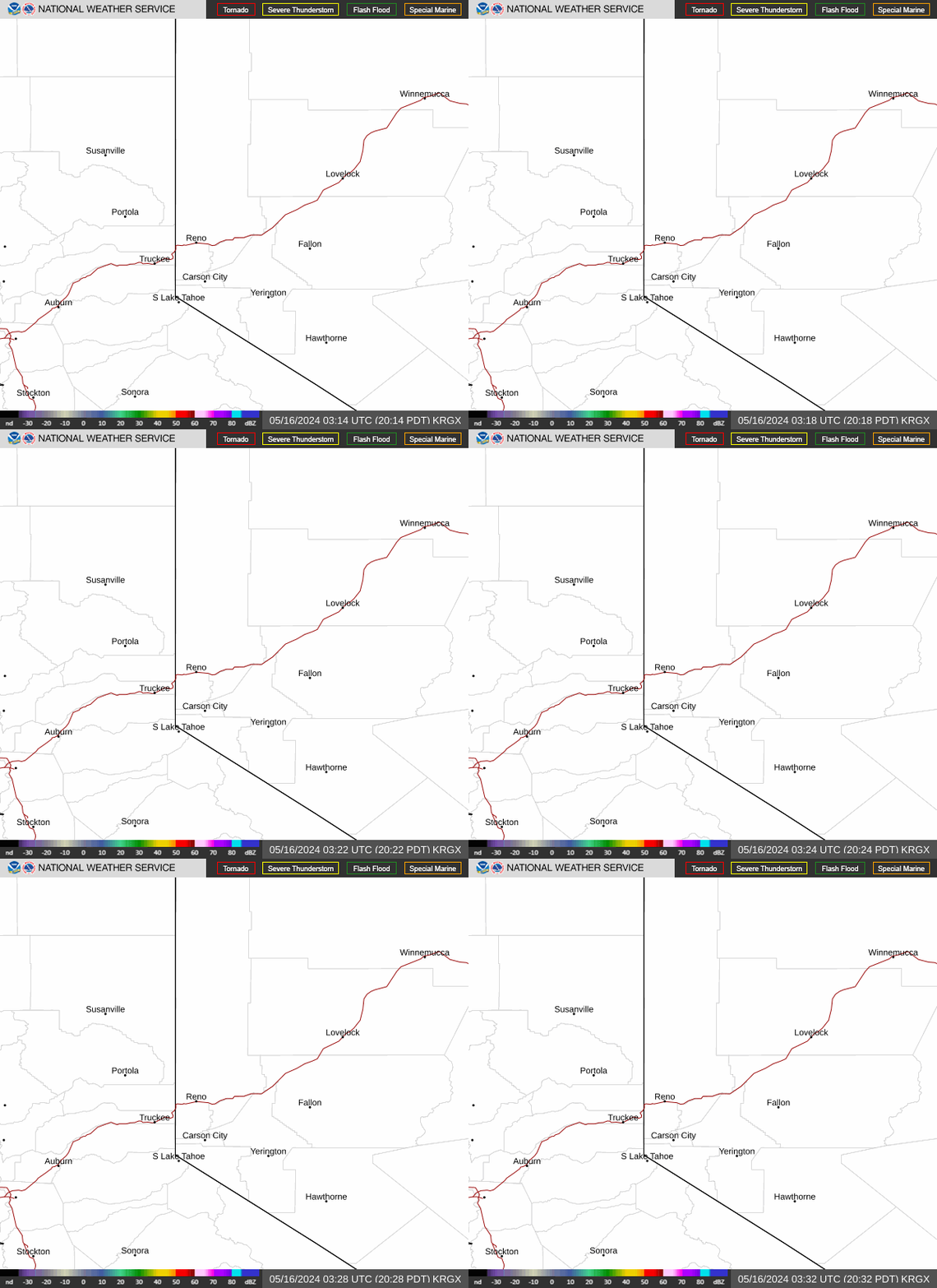
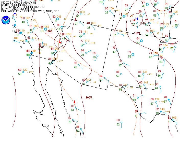
Surface Analysis — Western U.S. (South)
Satellite

Log in to save this location.
Nearest monitored road: North Carson Street (Primary)
* gusty winds and minor impacts to fire, recreation, and air and ground travel expected through thursday.
* chances of rain and isolated thunderstorms increase this afternoon near the oregon border, and linger through thursday.
* dry and warmer weather is favored friday into the weekend. Rain, thunderstorms, and breezy winds may return early next week.
* an upper low pressure currently over northern ca will move through the area today through friday. The primary impact of this weak system will be an increase in south/southwest winds during the afternoon and evening hours this afternoon and on thursday. Gusts between 25 to 35 MPH will be common in the tahoe basin and the greater reno area south to mono and mineral counties. Locally stronger gusts of 40-45 MPH are still possible in wind prone areas such as i-580 near washoe lake and US-395 between mono lake and mammoth this afternoon. Additionally, winds along the sierra crest increase tonight through thursday morning with gusts between 45-55 MPH.
* precipitation associated with this weak system is primarily in lassen county, the surprise valley, and far northwest nv. Today we have a 10-20% chance for showers and isolated storms in these areas. Precipitation and storm chances increase to 20-30% for these same areas on thursday. There are still a few model solutions showing a narrow band of rain with possibly embedded lightning developing from lassen county into northern washoe county early thursday morning. Any rainfall amounts will be light.
* after this low exits the area on friday, we'll see a return of a ridge into the weekend. Temperatures will trend higher, reaching back to seasonal averages by the weekend with mid-70S to mid-80S for high temperatures. But, a dry frontal passage friday will bring east to northeast winds along and west of the sierra crest friday night into saturday morning. Otherwise, this weekend is warn and dry. Long-term models and ensembles still show an increasing chance for rain next week. -mckellar
* surface winds increase this afternoon for all terminals, with S-SW gusts reaching 20-25 KTS at ktrk-ktvl and 25-30 KTS at krno-kcxp-kmev. Winds are expected to shift to westerly at krno- kcxp-kmev between 00-03Z this evening. Stronger SW gusts of 30-35 KTS are favored at kmmh this afternoon.
* S/SW fl100 winds increase to 35 KTS after 03Z, increasing llws and mountain wave turbulence concerns in the sierra. This will continue through around 16Z thursday. Otherwise, we have mostly VFR conditions across the region.
-salas/mckellar