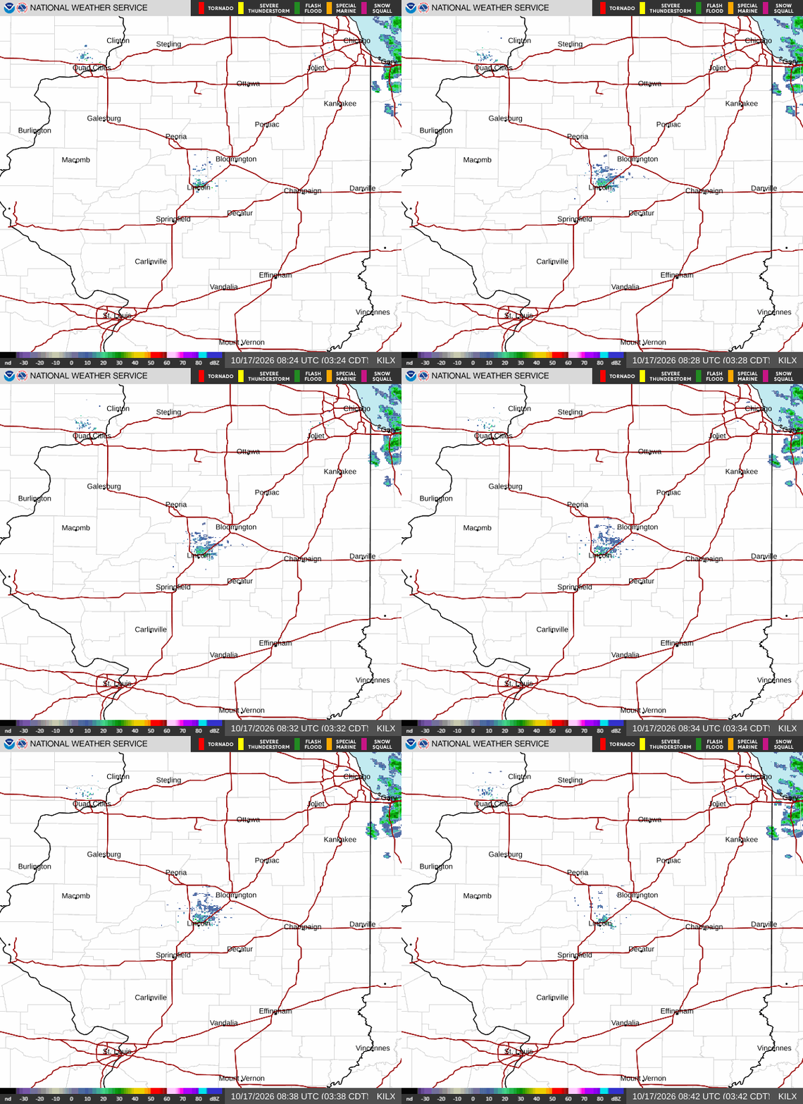
Radar — KILX
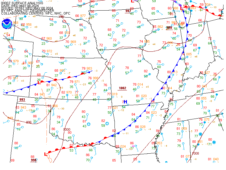
Surface Analysis — Central U.S. (Central)
Satellite

Log in to save this location.
Nearest monitored road: South Walnut Street (Primary)
- high heat and humidity will continue into early this evening over portions of central and southeast il. A heat advisory remains in effect until 7 PM south of a springfield to robinson line, where afternoon heat indices will peak near 105 degrees.
- a boundary slowly moving south this afternoon will be the focus of showers and storms into early this evening. Severe weather is not expected but locally heavy rainfall is possible due to potential training of the storms over the same areas.
- this boundary will remain near the area through the weekend and be the focus for periodic showers and storms. Precipitation chances increase to 50-80% over portions of central illinois saturday night through monday as the boundary finally begins moving south and through the area.
- much cooler weather is expected for the middle of next week as the front pushes well south of the state and a canadian high pressure area builds into the region.
Issued at 237 PM CDT thu sep 17 2026
The front that slowly moved south into the area this morning finally kicked off some additional showers and storms over southeast illinois. These storms could produce locally heavy rainfall this afternoon into early this evening due to the front slowly moving and the storms training over the same area. These storms should dissipate around sunset as the heating subsides and the airmass becomes more stable.
The heat and humidity will also continue into this evening, especially in areas near and south of the front. Therefore, the heat advisory remains in effect until 7 PM.
The mentioned boundary will oscillate across the cwa the rest of the week and into the weekend, but the better chance of additional showers and storms will be along and north of i-72/danville through friday night. This boundary will begin to move back south of saturday and eventually push through the area sunday night into monday. Pops will be higher during this period, reaching 50-80% for sat night through mon. Heat and humidity will continue through this period as well, but dewpoints will not be quite as high as today, only reaching into the lower 70S, with upper 60S in some areas. This will cause heat index values to remain below 100 degrees for the rest of the week and weekend.
Given the front will be north of most of the area on sat, instability will increase to over 3000 j/kg by sat afternoon. However, some of the models show weak to marginal SHEAR over the area, so SPC has maintained a marginal risk of severe weather for saturday late afternoon into sat night. The primary risk will be damaging winds and large hail.
Behind this weekend system, canadian high pressure will build into the area. This will bring drier weather to the area and the beginning of cooler temperatures. Highs in the southeast will still reach into the middle 80S on monday, but tue into thu, highs will only be in the 60S and 70S with lows in the 50S.
Issued at 1245 PM CDT thu sep 17 2026
All sites will be VFR the rest of the afternoon and into this evening. Then as winds become stronger from the north to northeast, lower MVFR and IFR clouds will advect into the area and affect the tafs from north to south. Expecting IFR clouds at pia, bmi and cmi at less than 1kft, while MVFR clouds are expected at spi and dec, at less than 1.5kft. The conditions will continue in the morning but then improve during the late morning hours at all sites. Pia, bmi, and cmi will only improve to above 1kft by late morning, while spi and dec rise to VFR by late morning. Predominate showers are expected at pia and bmi with only vcsh at spi and dec. Will leave precip out for cmi as the precip should remain well west of cmi tomorrow. Winds will be variable this afternoon but predominately less than 10KTS in speed through the period. Wind direction will mainly be variable or northeast through the period.