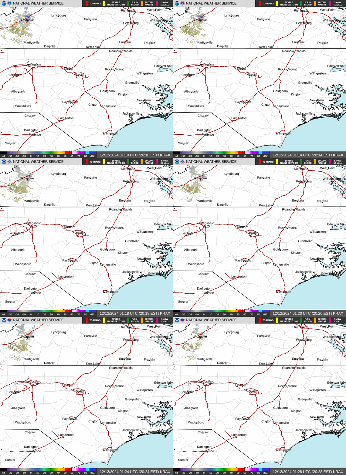
Radar — KRAX
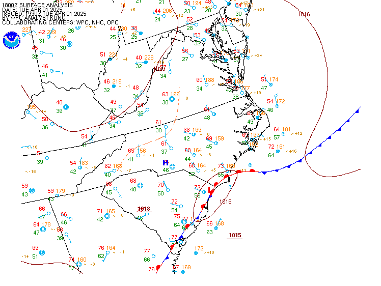
Surface Analysis — Eastern U.S. (Central)
Satellite

Log in to save this location.
Nearest monitored road: South Columbia Street (Primary)
* a couple of cold fronts will move south and across cntl nc fri through sat, with moisture and instability maximized and most supportive of showers/storms between the two.
As of 300 PM wednesday...
1) a couple of cold fronts will move south and across cntl nc fri through sat, with moisture and instability maximized and most supportive of showers/storms between the two.
As of 300 PM wednesday...
Key message 1... A couple of cold fronts will move south and across cntl nc fri through sat, with moisture and instability maximized and most supportive of showers/storms between the two.
An anomalously strong subtropical to lwr mid-latitude ridge may yield an observed 500 mb height of 600 dam at ffc or bna this evening, while retrograding across the tn and lwr ms valleys through sat. Nwly flow around the nern periphery of the ridge may direct at least a few convectively-enhanced mid-level disturbances from the oh valley to the (particularly wrn) carolinas thu through fri night, before a col and area of weak and variable flow becomes established over cntl nc this weekend.
At the surface, a couple of closely-spaced fronts, now stretching and modulated by convection across the upr oh through mid ms valleys, will progress somewhat discontinuously swd across the oh valley and middle atlantic through early fri. The lead front, pressure trough, and convergence axis will progress generally sewd across cntl nc through the day fri, and through a residually- dry/continental pre-frontal airmass deposited by the preceding canadian high and dry air ridge. Low-level moisture and instability --and favored region for showers/storms-- will be maximized between that lead front and a trailing, backdoor segment that will meanwhile progress swwd through va and into-through cntl nc late fri through early sat. The timing of those features and instability axis would favor showers/storms over the nrn piedmont and nrn coastal plain fri afternoon-evening, then the sandhills and srn-cntl coastal plain fri night-sat. Weak lapse rates and SHEAR will limit storm intensity throughout the period.
As of 145 PM wednesday...
Canadian high pressure will continue to extend across the srn middle atlantic and favor mainly VFR conditions in cntl nc through the 18Z taf period. The only exception to VFR during that time will be a chance of visibility restrictions in shallow, radiation fog/mist at rwi again thu morning.
Outlook: while a shower or storm may drift southeast and to int or the vicinity thu afternoon-evening, the relative best chance of convection will exist along a cold front forecast to move through cntl nc fri afternoon-evening. A risk of convection will linger over srn/sern nc fri night and sat, including at fay. Nely flow behind that front will otherwise increase the likelihood of IFR-MVFR ceilings sat morning, lowest and most prolonged over the piedmont (especially at int/gso). Additional sub-VFR ceilings will be possible again sun morning.