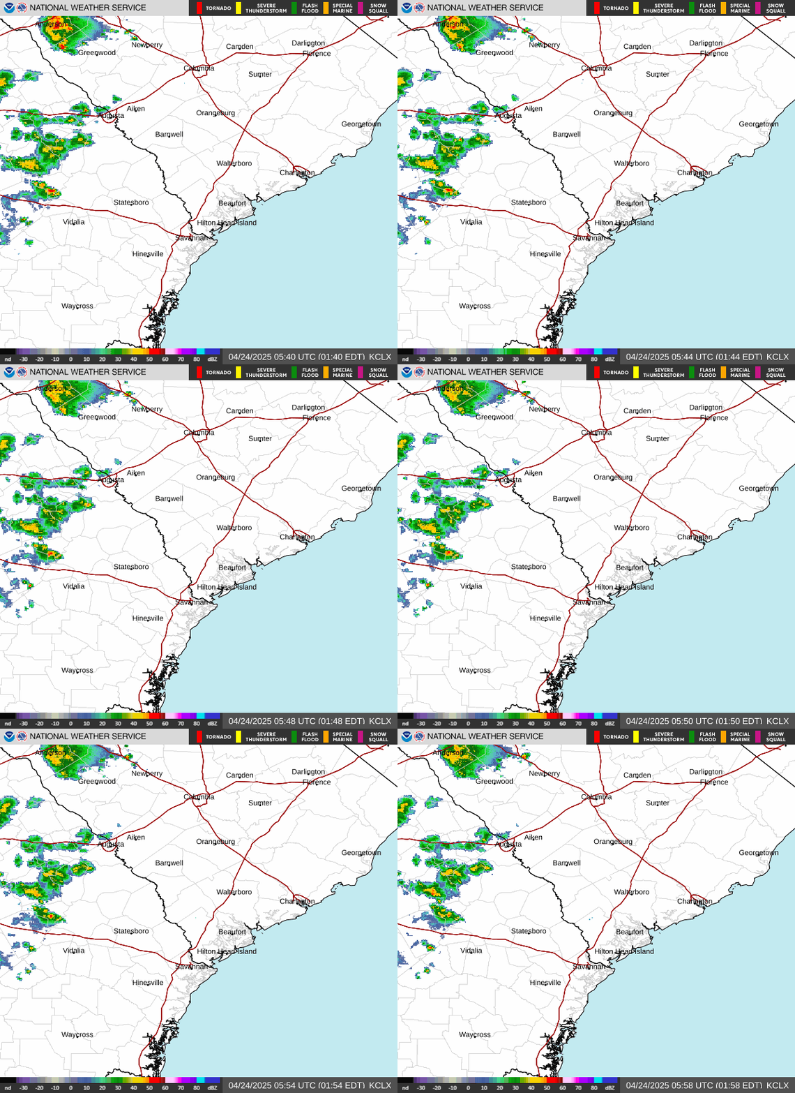
Radar — KCLX
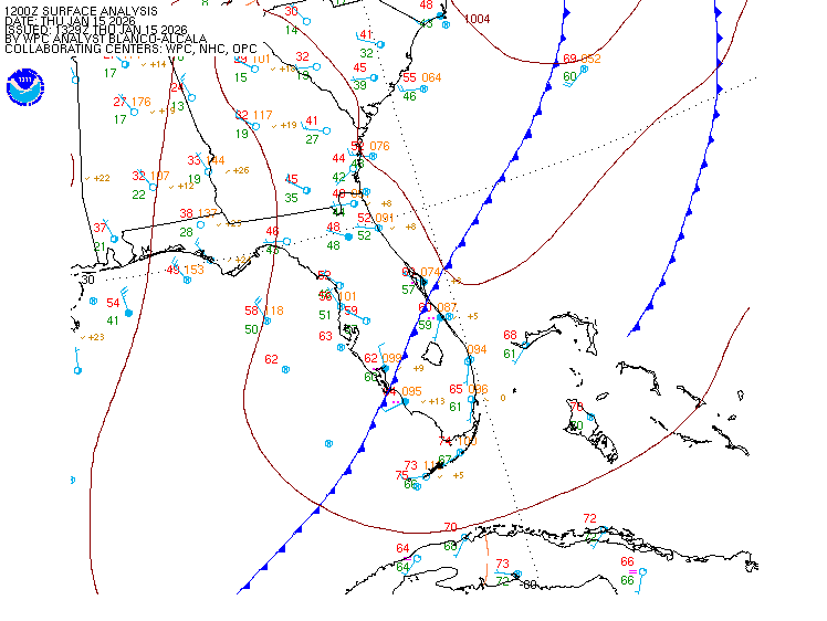
Surface Analysis — Eastern U.S. (South)
Satellite

Log in to save this location.
Nearest monitored road: Broad Street (Secondary)
The aviation section was updated for the 18/00Z tafs. The rip current subsection was removed with a low risk expected all beaches for friday.
- 1) warming temperatures and mostly dry conditions through friday. Rain chances will then gradually increase this weekend and especially by early next week.
Key message 1: warming temperatures and mostly dry conditions through friday. Rain chances will then gradually increase this weekend and especially by early next week.
Through tonight: the forecast area will remain under the influence of dry high pressure through the overnight. Within the northeast low-level flow, there will be occasional shower development across the coastal waters that could make a run for the southeast ga coast. But, most of this activity will diminish before reaching the coast and remain over the marine area.
Friday and saturday: for friday, model guidance depicts and upstream surface trough that will help to kick off afternoon convection north of the forecast area. This convection could make a run for the area from the north in the evening. Otherwise, most of the area should remain dry with temperatures warming solidly into the low 90S. Saturday should bring better thunderstorm chances with isolated to scattered coverage in the afternoon and evening. Another round of highs in the low 90S is expected, along with dewpoints rebounding into the 70S for much of the area. Certainly not expecting any heat advisory conditions, but heat indices back into the 100-105 degree range are likely.
Sunday through early next week: the overall pattern will change as the southeast sits within a trough and a closed upper low across the florida peninsula and the eastern gulf. The airmass will become increasingly moist, with precipitable water values progged to rise to near 2 inches at times. When combined with a front expected to push into the area from the north, the setup will favor unsettled conditions and increased rain chances through the early to middle of part of the week. Given the high precipitable water airmass and the presence of rounds of convection, there will be at least a low end threat for some locally heavy rainfall.
18/00Z tafs: kchs/kjzi/ksav: VFR through 19/00Z. Some brief, shallow ground fog could develop just before daybreak, but no impacts are expected.
Extended aviation outlook: rain chances are expected to increase late this weekend and into early next week which could result in periodic flight restrictions.
Tonight: the gradient will relax and allow winds to steadily diminish. Wind speeds will begin the evening around 15 knots or so, becoming 5-10 knots late. Seas will diminish in response, becoming mostly 2-3 feet except up to 4 feet in the georgia offshore waters.
Friday through tuesday: winds and seas are expected to remain well below small craft advisory thresholds through the period. Winds will be 10 knots or less for much of this period, with seas generally in the 2-3 ft range. The main forecast concern will be increasing coverage of showers and thunderstorms across the local waters, especially early next week.