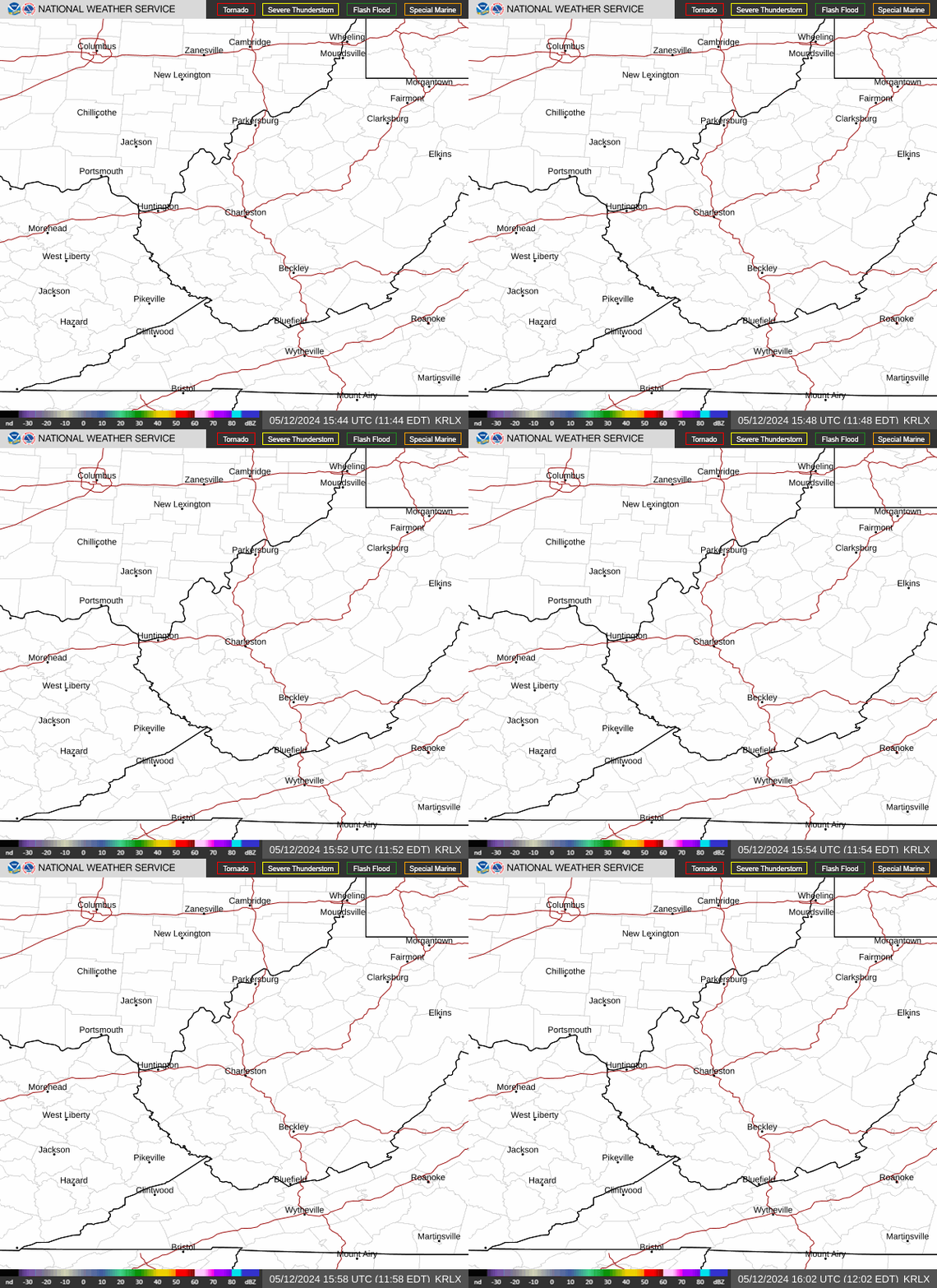
Radar — KRLX
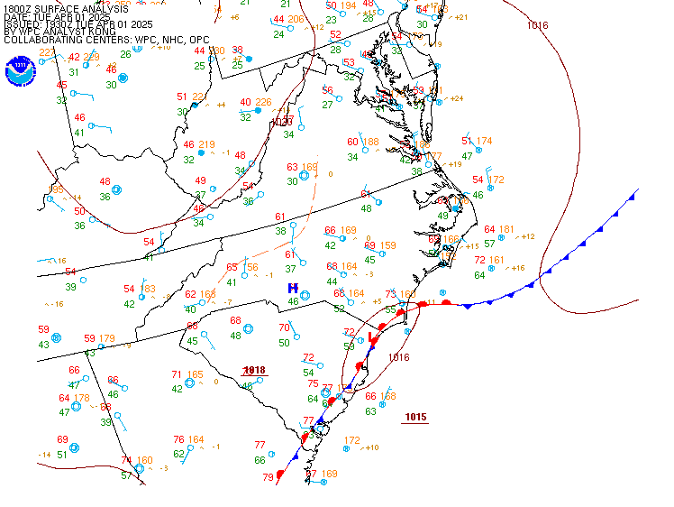
Surface Analysis — Eastern U.S. (Central)
Satellite

Log in to save this location.
Nearest monitored road: US-60 (Primary)
The sps for hot and humid conditions has been extended through this evening due to heat indices in the middle-upper 90S. The forecast involving storm chances for today, tonight, and thursday into the weekend remains on track otherwise.
1) hot conditions will be accompanied by chances for showers and thunderstorms through this evening.
2) chances for heavy showers and storms reload thursday as a series of disturbances move over the region as a cold front arrives.
3) unsettled weather remains forecast from friday and through early next week as a stalled front lingers, with muggy weather to continue for the foreseeable future.
Key message 1...
In the mid/upper-levels, a subtropical ridge, objectively analyzed at 600 dam at 500 mb, was centered over the spine of the southern appalachian mountains. Phased, semi-progressive flow was displaced to the north of the cwa, or over the great lakes region, leaving the cwa beneath the northeastern fringe of the subtropical ridge as it begins to slowly retrograde westward. Isolated-to-widely-scattered showers and thunderstorms were ongoing as of 1619Z, with the bulk of these cells struggling to maintain intensity due to encountering larger-scale subsidence evident on water-vapor imagery. As the subtropical high gradually retrogrades throughout the afternoon and evening, it will cause the deep-layer flow to become more-westerly over the i-70 corridor, allowing ongoing clusters of showers or storms to potentially propagate southeastward along the thickness gradient and into the northwestern portions of the cwa.
At the surface, a synoptic cold front was drawn along a line from tol-ind, and is expected to remain quasi-stationary, with a slow progression towards the south, over the next 24 hours due to the northern displacement of more-amplified flow aloft. Thus, the boundary-layer will remain relatively homogeneous this afternoon, with temperatures set to peak in the lower 90S. Nbm initialized dewpoints that were far too high, and were adjusted downward a few degrees (consall) to match observations from yesterday. Such an adjustment yields heat indices in the upper 90S across southeastern oh, although some locales may reach 100 degrees. Surface winds were calm, and will remain calm, throughout the rest of today and into tonight while transitioning to the east after sunset due to the gradual departure of the surface and mid-level anticyclones.
The special weather statement previously issued for the hot and humid conditions today has been extended through 23Z, or 7 PM EDT, for the lowlands. Anvil shadows from storms that develop upstream of the oh river this afternoon may offset hotter temperatures from coming to fruition, but the expectation is for storm coverage to remain isolated-to-widely-scattered at best this afternoon and evening. The 12Z raobs from wfos iln and rnk sampled a well-defined warm nose in the mid-levels, which will suppress more-widespread development despite convective temperatures being reached. Storms that can develop and mature will be capable of producing locally heavy rainfall, in addition to strong-to-marginally-severe-caliber downbursts, due to sufficient water-loading of updrafts atop the well-mixed boundary-layer (i.E., inverted-v pbl profiles, with a pbl top near 3.5 kft agl). The best potential for storms this afternoon and evening will be along and northwest of the ohio river. Prospects for showers and storms will wane following the cessation of vertical mixing, with valley fog expected to develop across portions of the lowlands and into the mountainous terrain tonight.
Key message 2...
By sunrise thursday morning, the center of the subtropical ridge will have retrograded to the middle ms river valley while an intense, shortwave trough digs southeastward over the southern edge of the hudson bay. The superposition of these features relative to the cwa will allow a train of shortwave perturbations emanating from the core of the phased jetlets over the great lakes to propagate southeastward into the cwa. Isolated-to-widely-scattered, elevated showers and storms may be ongoing across the northern counties prior to sunrise as the leading shortwave perturbation ejects over the region. The pre-frontal airmass across the cwa will be characterized by anomalously high pwats around 2.00" amidst tall, skinny CAPE profiles, with sbcape values between 2,000-2,500 j/kg and very warm surface temperatures. (the 12Z raob from wfo iln this past morning also sampled sbcape of 2,356 j/kg.) widespread cloud cover may limit the degree of destabilization thursday afternoon; however, with the arrival of the aforementioned synoptic cold front in key message 1, the frontogenetical forcing and ejection of a well-defined shortwave perturbation will yield scattered-to-numerous showers and storms thursday afternoon and evening.
Effective-SHEAR magnitudes of about 25 KT will contribute to small, compact hodographs, with mean SHEAR vectors orthogonally-oriented to the slow-moving cold front. Upshear corfidi vectors of less than 10 KT favor the potential for back-building cells, especially along the front since it will be slow to progress. A few swaths of heavy rainfall are forecast to affect portions of the cwa thursday, as downshear corfidi vectors remain at about 25 KT while nearly aligned to the mean wind. It remains unclear on where exactly back-building cells will originate, but an eventual southward propagation to the training bands is forecast to evolve as flow throughout the steering layer veers northward in response to the retrograding high. It is possible that additional chances for training bands develop during the overnight hours thursday into friday, primarily along the edge of the thickness gradient where the mean convective movement will be governed by propagation versus advection. Pops remain intact during the predawn hours friday for portions of the cwa.
Key message 3...
The cold front is forecast to sag south of the cwa by late friday morning before finally stalling. Additional chances for showers and storms will follow, but the airmass will be convectively overturned and in a post-frontal state, albeit still muggy and warm. The best chances for showers and storms friday will be along and south of the i-64 corridor, and pops may need to be refined in forthcoming assessments depending on the evolution of thursday. At the very least, the northern half of the cwa is forecast to remain bereft of showers and storms during the day friday. Over the weekend, the stalled front is forecast to undergo warm-frontogenesis and lift northeastward across the cwa and into the i-70 corridor, resulting in renewed chances for heavy showers and storms this weekend as a train of shortwave perturbations translate over the region.
VFR will prevail at all terminals this afternoon, with a cu field, at or around 3.5-4.0 kft agl, to bubble all afternoon and diminish by sunset. Winds will remain calm and variable in direction through the taf period as a high pressure system to the southwest of the state of wv moves off to the west. It is possible that an isolated tstm may affect kpkb this afternoon, but confidence in coverage is far too low to warrant a mention in the taf. Valley fog will form once again during the overnight hours, and primarily affect kcrw and kekn, as alluded to in the prior forecast. Light fog may affect kckb and kpkb, but vsbys have been kept at VFR. Prospects for -shra/-tsra will begin to increase prior to and after sunrise at kckb, kekn, and kpkb, as a disturbance passes by to the north. Fog of any kind will lift after sunrise thursday, although MVFR cigs may persist for the terminals that experienced fog.
Forecast confidence: high through this evening, then medium-high tonight.
Alternate scenarios: coverage and extent of fog tonight may vary from forecast, as well as the showers and thunderstorms overnight.
Experimental table of flight category objectively shows consistency of wfo forecast to available model information: h = high: taf consistent with all models or all but one model. M = medium: taf has varying level of consistency with models. L = low: taf inconsistent with all models or all but one model.
UTC 1hrly 18 19 20 21 22 23 00 01 02 03 04 05 EDT 1hrly 14 15 16 17 18 19 20 21 22 23 00 01 crw consistency h h h h h h h h h h h h hts consistency h h h h h h h h h h h h bkw consistency h h h h h h h h h h h h ekn consistency h h h h h h h h h h h m pkb consistency h h h h h h h h h h h h ckb consistency h h h h h h h h h h h h
After 18Z thursday... IFR or lower will accompany -shra/-tsra that move through the region thursday afternoon. Strong surface wind gusts will be possible with tstms that move near the terminals. Valley fog is forecast to continue each morning through the weekend.