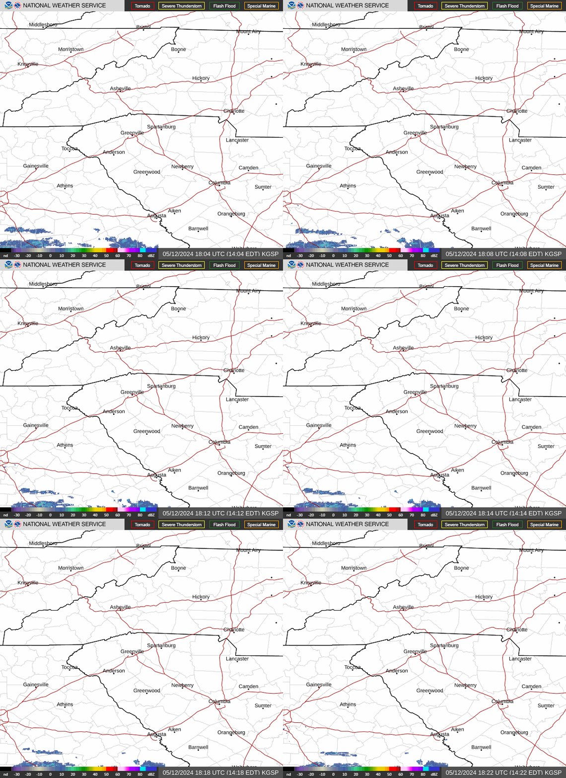
Radar — KGSP
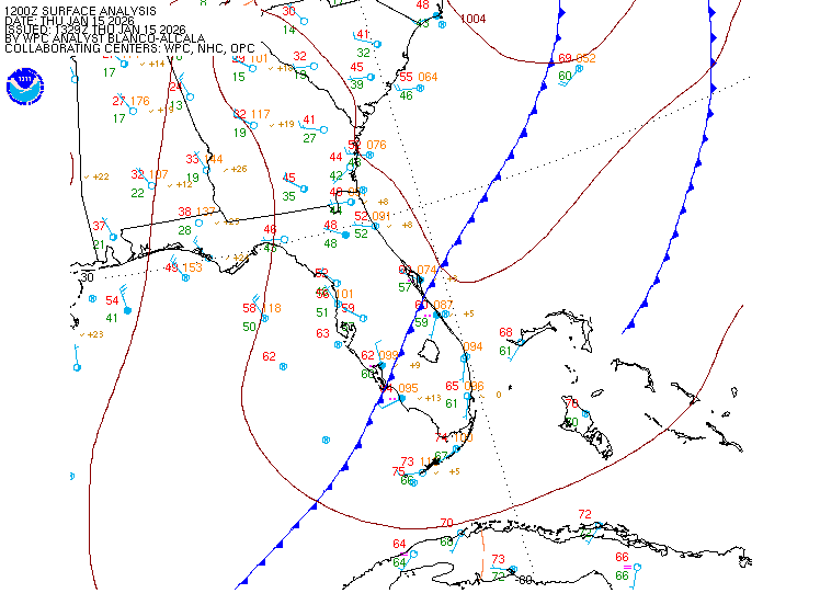
Surface Analysis — Eastern U.S. (South)
Satellite

Log in to save this location.
Nearest monitored road: East Trade Street (Primary)
No major changes to the forecast.
1. Cooler high temperatures continue this weekend into early next week as cold air damming lingers over the forecast area. Temperatures slowly rebound through midweek ahead of the next frontal system. 2. Rain chances return by the middle of next week as a low pressure system approaches from the west.
Key message 1: cooler high temperatures continue this weekend into early next week as cold air damming lingers over the forecast area. Temperatures slowly rebound through midweek ahead of the next frontal system.
Backdoor cold front has settled to our south, and the entire area now finds itself wedged in with dry NE winds and a stable air mass. This low-level dry air should keep the better moisture transport to our south, while any forcing from the upper shortwave to our west remains weak. As such, most of the deterministic and ensemble guidance continues to show mostly dry conditions across our cwa thru the the remainder of the weekend and early next week. Some of the latest cams continue to spread light showers over our area on sunday and monday, but much of this will likely fall as virga owing to the dry surface wedge. Thus, precip should remain isolated at best across our area through tuesday. Any lingering cad/wedge should gradually erode through the middle of next week, allowing temperatures to steadily warm back above normal.
Key message 2: rain chances return by the middle of next week as a low pressure system approaches from the west.
Upper ridging will amplify over the southeast early next week, as a broad/deep upper trof moves over the western conus. This upper trof will approach our area by mid-week and eventually push the upper ridge off the atlantic coast. As the upper trof approaches, it will likely close off into a low and begin to lift NE. At the sfc, a deepening cyclone will develop over the central plains, while a secondary low forms over the southern plains and lower half of the ms river valley. An attendant cold front will gra- dually move eastward and approach our area by early wed. At the same time, the surface high over the NE moves out over the NW atlantic, while sly return flow brings increased moisture into our area ahead of the frontal system. The overall timing/progres- sion of the front differs amongst the guidance, but the bulk of it indicates that we should get some precipitation by mid-week with the best chances on thursday. In addition, thunderstorms and even severe weather can't be ruled out with this setup as deep layer flow will likely be enhanced. Most of the current guidance shows minimal amounts of instability as the cold front moves across the cwa wed into thurs. However, we are talking about days 5 and 6, so confidence wrt to these details is low.
At kclt and elsewhere: VFR on tap for the 00Z taf period, with steadily-increasing cloud cover across the area. Expect steady 6-10KT NE winds through the period, with perhaps some low-end gusts across the upstate on sunday. Expect a gradual increase in mid-level altocu through the period, starting out bkn tonight and becoming ovc by tomorrow. By the very end of the period, some sites may see an increase in low-VFR clouds, as moisture finally arrives in the low levels.
Outlook: mostly dry and VFR continue through tuesday. Isolated showers may develop, mainly in the upstate, on sunday evening. Rain and associated restrictions are expected to return during the middle of next week. With ample cloud cover expected this weekend into much of next week, mountain valley fog should be limited.