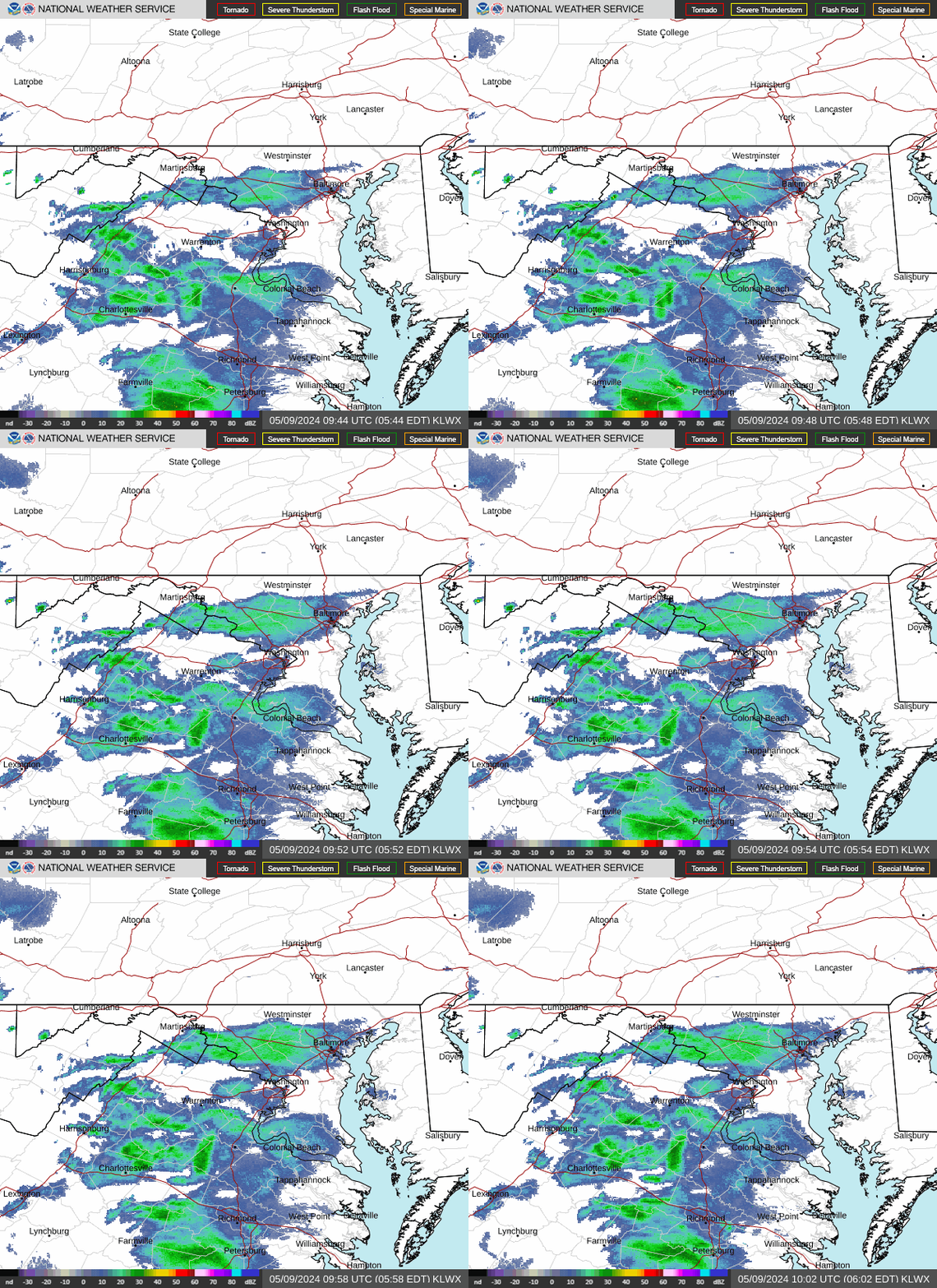
Radar — KLWX
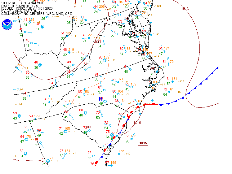
Surface Analysis — Eastern U.S. (Central)
Satellite

Log in to save this location.
Nearest monitored road: 9th Street Southeast (Bridge)
Nothing.
- 1) seasonable temperatures and dry through monday, then rain chances return late next week.
Key message 1...seasonable temperatures and dry through monday, then rain chances return late next week.
Strong surface high remains in place across the region through the start of next week. Seasonal temperatures and dry conditions are expected through monday as highs reach the 60S, and lows settle in the upper 30S to 40S each day. Passing high cirrus today gives way to more mid-level cloudiness sunday due to a shortwave trough that slides south of the region. The surface high moves offshore monday and remains centered east of the mid-atlantic coast through the middle of next week. Return of east to southeast winds bring a gradual warming trend next week that has highs reach the low 70S on tuesday, though still remaining dry.
A deep upper level trough pivots eastward from central conus on wednesday, with precipitation chances returning to the forecast area. At the surface, a low pressure system tracks from the mississippi river valley towards the mid-atlantic the second half of the week. As the system approaches, precipitation chances increase and are expected to linger through the end of the week. The best chance for widespread rain is on thursday afternoon into friday, as the low pressure system passes nearby. Surface high pressure builds overhead in the wake of the low pressure system, with diminishing rain chances expected. High temperatures will be in the upper 60S to low 70S east of the blue ridge with those along and west in the upper 50S to 60S. Overnight low temperatures will be in the 50S each night. Lows drop into the 40S east of the blue ridge thursday and friday night.
VFR and dry conditions are expected to prevail through the middle of the upcoming week. High pressure over the region will maintain light north winds today that gradually turn east to southeast sunday, then remain south through wednesday. The next chance for showers could arrive wednesday night, but conditions likely still remain VFR.
Winds will gradually become light to calm this evening into tonight as high pressure settles over the region. The high begins to move offshore sunday, then remains centered over the western atlantic through the middle of next week. Light east to southeast winds on sunday become southerly for much of next week. Southerly channeling effects could cause some increase in winds come wednesday.