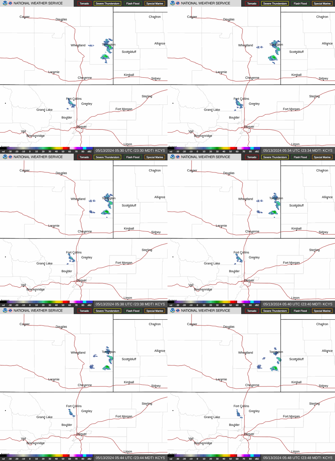
Radar — KCYS
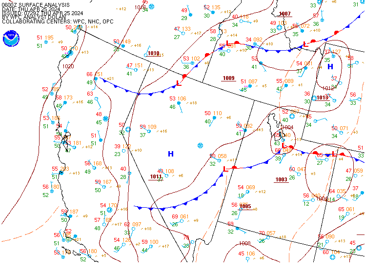
Surface Analysis — Western U.S. (Central)
Satellite

Log in to save this location.
- a wet pattern is expected through the end of the week, with almost daily chances for showers and thunderstorms.
- there is a slight chance of excessive rainfall and flooding issues thursday as a stronger than average late-season monsoon with tropical moisture moves into the region.
Issued at 230 AM MDT wed sep 16 2026
Fairly active this week, including the short term and medium range forecast periods. All models continue to show southwest flow aloft through the end of the week with an abnormally strong monsoon push, for mid to late september, as we head into thursday and thursday night. Will have to closely monitor excessive rainfall potential with all models showing pwats near all-time maxes for mid to late september.
For today, surface analysis and model analysis shows a weak low pressure system across south central wyoming early this morning. This frontal system is expected to lift northeast, with a notable warm front lifting across the eastern plains by this afternoon. Expect winds to shift into the south and southwest through the afternoon hours with low to midlevel warm air advection and gradual moisture advection. Widely scattered rain showers early this morning are forecast to lift northeast with a brief break in precipitation until around sunrise. Surface cold front behind the weak low pressure system is then forecast to dive south across wyoming, with showers and thunderstorms redeveloping from west (west of i-25) to east (high plains) from late morning through this afternoon. Although low to midlevel moisture will only start to increase today, PWAT values will still be above the 90th percentile for most of the forecast area. Will have to watch for heavy rainfall as this front moves south...with possible training of thunderstorm activity along and near the i-80 corridor. However, forcing doesn't appear to be continuous and the front moves south relatively quick late this afternoon and the evening hours.
Again, will have to monitor thursday and thursday night for excessive rainfall and very heavy persistent rain as current model analysis shows a stalled frontal boundary near the i-25 corridor, plenty of midlevel forcing as a series of vort maxes/short waves lift northeast very slowly, and of particular note...tropical moisture lifting north from a tropical disturbance near baja california. Naefs shows PWAT values at all time maximums across most of the forecast area for mid to late september as pwats climb to 1.25 to 1.50 inches...including carbon and albany counties. Although several high res models are not showing anything particularly impressive, would like to note several locations across the high valleys and high plains show the 75th to 90th percentile QPF between 1.5 to 2.5 inches on the href with CAPE between 600 to 1200 j/kg over a pretty large area with the bullseye near cheyenne. WPC has added a slight risk of excessive rain for all the high plains thursday. Want to give this event another model run or two before deciding on a flood watch. Also, not terribly impressed with the lack of upper level forcing with this event since we would like to see more jet dynamics aloft, but everything else looks good, but with limited confidence on timing.
Otherwise, brief warming trend still expected today (wednesday) as the frontal system lifts northeast with highs back into the upper 70S to mid 80S. Cool once again on thursday. Kept high temperatures in the 60S to mid 70S, but may need to lower them even more depending on persistent the rainfall is through the day.
Issued at 215 PM MDT tue sep 15 2026
On friday, mid-level flow shifts to more WSW, which will begin to shut off our source for monsoonal moisture. With some remaining moisture trapped underneath the ridge (i.E. PWAT still ranging from the 90th to 95th percentile) combined with another subtle shortwave trough that skirts across wyoming and nebraska friday evening, cannot rule out another round of showers and storms on friday afternoon and evening. Although lref guidance has median surface dewpoints in the mid to upper 50S across the panhandle, deep-layer SHEAR is only forecast to be 20-25 knots, which should minimized the threat of any organized severe weather. At this time, hydrological impacts/localized flash flooding will be the primary concern, hence WPC placing our region in another marginal risk for excessive rainfall on friday. Coverage is expected to be more scattered and lower in coverage relative to thursday, so with less cloud cover we can also expect highs closer to 80 degrees east of the i-25 corridor, with low to mid 70S to the west.
On saturday, another weak open wave will translate across SE wyoming and W nebraska. With PWAT still within the 60-70th percentile, primarily along the i-80 corridor, can still expect a few showers and thunderstorms later in the day, but nothing appears to be widespread at this time. Lref guidance only shows US at a 20- 40% chance of receiving measurable rainfall during this period, so not exactly enthusiastic that we will see much of any precipitation that we are desperately in need of. Temperatures on saturday will be slightly cooler in the 70S across the nebraska panhandle, and mid to upper 60S for southeastern wyoming.
A shortwave ridge begins to build in to our west on sunday, placing US in more of a NW flow pattern. Not only will this decrease our overall moisture, but with the passage of a weak front sometime during the day, we can expect a slight cooling trend into early next week. An open wave will remain situated to our south and west over california into early next week which will eventually become cut off from the polar jet to our north, placing US in more zonal flow. This will translate to a dry pattern with high temperatures sitting right around climatology (high temperatures in cheyenne average in the low to mid-70S next week). It's too far out to discuss specifics at this range, but ensemble guidance suggests another longwave ridge building across the rocky mountain west and northern great plains towards the middle of next week, which would bring a warming trend to our region.
Issued at 1142 AM MDT wed sep 16 2026
Complicated forecast over the next 24 hours, with numerous rounds of showers and thunderstorms expected, particularly for the wyoming terminals today, and all terminals beginning around sunrise on thursday. The main hazards will be brief reductions in visibility in the vicinity of any showers/storms, with cigs briefly reaching MVFR criteria, down to around fl030. Confidence is high enough at this time based off href guidance to include tempo groups for -shra at all the wyoming terminal. Klar and krwl will experience peak gusts of 20-25 knots out of the southwest this afternoon ahead of a cold front, which will gradually shift the winds to more SE for all terminals this evening.