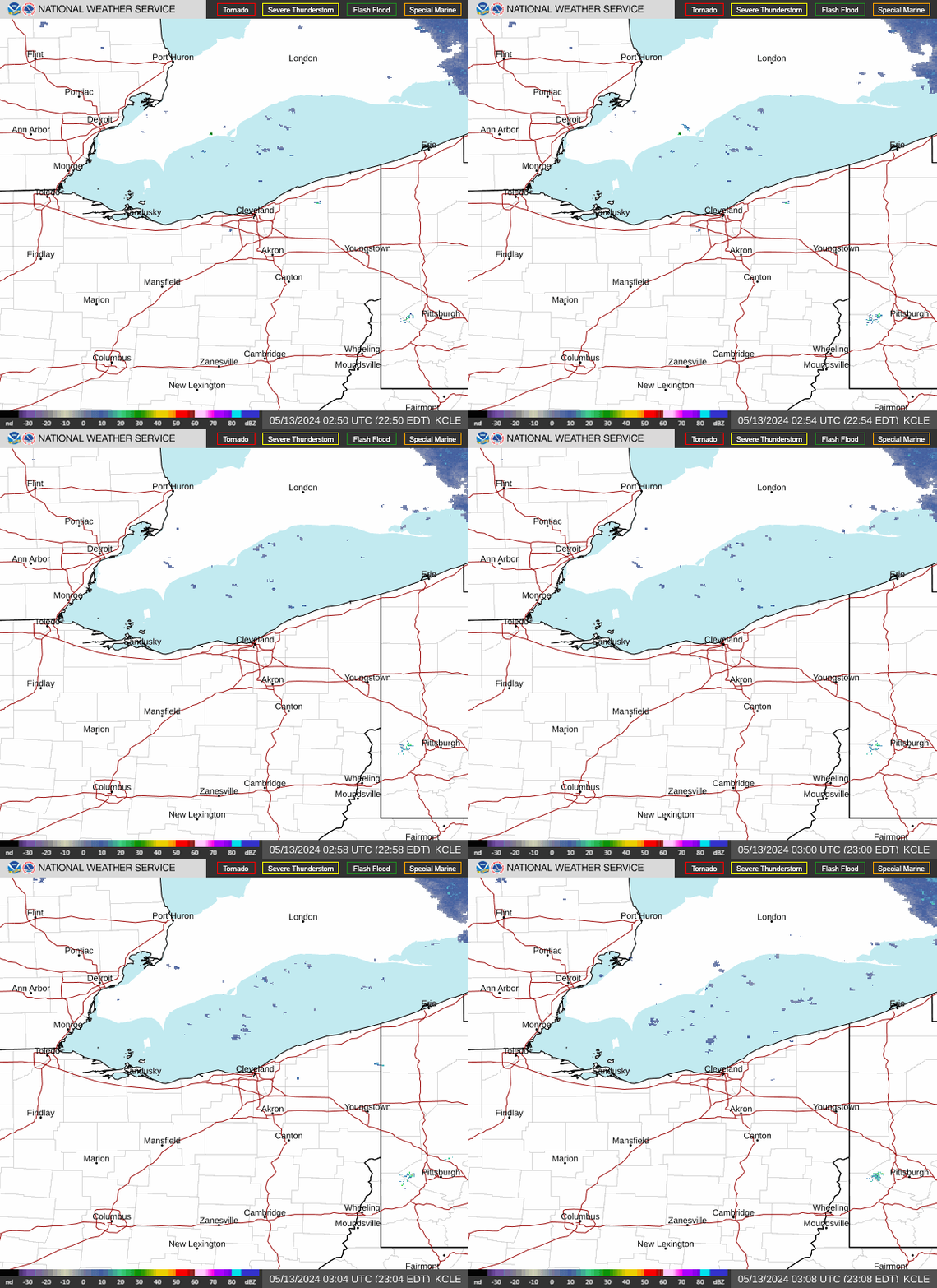
Radar — KCLE
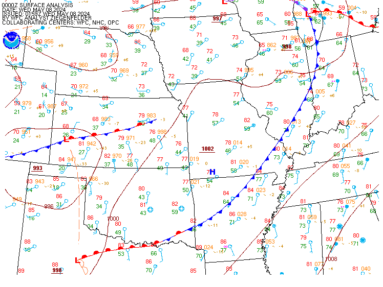
Surface Analysis — Central U.S. (Central)
Satellite

Log in to save this location.
Nearest monitored road: US-6 (Primary)
There continues to be a marginal risk (level 1 of 5) for severe storms and a slight risk (level 2 of 4) of excessive rainfall for locations roughly along and south of US-224.
1) periods of showers and thunderstorms continue through thursday as a front oscillates about the ohio valley.
2) unsettled weather pattern continues into the weekend. Heavy rainfall and localized flooding are possible late saturday, potentially lingering in east-central and central ohio into early sunday.
Key message 1... A slow-moving front continues to slowly drift to the south across the ohio valley, including across parts of northern and northeast oh. Periodic showers and storms are expected through the day today into tonight, with locally heavy rain and isolated flooding remaining the primary concern. Anomalous pws on the order of 200+% of seasonal norms remain draped across the region. This, combined with very deep warm cloud depths, provide an environment conducive for torrential downpours and localized flooding, especially in the more persistent or training activity. This is most likely across parts of northwest/west- central ohio through this evening, but the greatest coverage will spread east into north-central ohio late this evening into tonight.
There is also the potential for a few strong to severe storms today as well, primarily late afternoon through this evening near/south of US highway 224 into parts of north-central and northwest oh. Given the steep low level lapse rates but rather marginal midlevel lapse rates, the primary concern with this activity will be strong to isolated damaging wind gusts, especially from 21Z to 03Z. It is important to note that scattered to numerous storms are expected to persist past 03Z, although the severe risk will be waning late into the evening. The heavy rain and flash flood potential will probably increase a bit after dark through the overnight with fairly widespread coverage expected during this time frame, particularly for north-central oh.
Although there may be subtle episodic wobbles in the front position into the day thursday, very little pronounced movement in the moist airmass is expected until thursday night into early friday. The front will sag south thursday night as canadian high pressure builds overhead from the north. The forecast is trending drier thursday night through friday.
Key message 2... High pressure and tranquil weather will build into northern and northeast oh thursday night through the day friday, with drier air and seasonable temperatures.
The front will surge back to the north into the daytime saturday, bringing anomolously-high pws back north with it. This will allow for a reintroduction of shower and storm chances, particularly by late in the day into saturday night as S/W energy works E through the southern great lakes. Widespread storms are expected once again, particularly saturday evening through the overnight, with some potential for activity to linger into the daytime sunday.
The min concern for this time frame will be the heavy rainfall threat. Area pws remain high with the potential for 1-3 inches of rainfall across lower michigan into northern ohio. WPC has maintained a slight risk (level 2 of 4) across northwestern and north-central oh for saturday (ending 12Z sunday).
Scattered rain showers with embedded thunderstorms continue to move through the region this afternoon into the early evening. Showers have dropped ceilings and visibility down to MVFR and to IFR at times, but have rebounded to VFR shortly after. Ceilings will drop late this evening down to MVFR and with rain showers starting, ceilings and visibility down to IFR after midnight tonight. There will be little recover overnight into the morning with all sites staying IFR through the mid morning tomorrow before becoming MVFR.
Winds will be fairly light across the region at less than 5 knots through much of the taf period and vary between southerly and westerly. By tomorrow morning, winds will become primarily out of the west to northwest at 5-10 knots.
Outlook...non-VFR possible at times in scattered showers/storms through thursday. Non-VFR possible with showers and thunderstorms saturday through sunday.
Flow is becoming northerly to northeasterly between 10-15 knots through thursday. Northerly onshore flow increases to 12-18 knots thursday night into friday, which may briefly lead to choppy conditions across nearshore zones in the central basin. For friday evening into sunday, winds will waver between easterly to northeasterly at 12-18 knots. Wave heights may build to 2-4 feet across the nearshore zones in the eastern basin on sunday under northwest flow 15-20 knots. Northeast flow will increase to about 25KTS by sunday night. Numerous rounds of showers and thunderstorms will be possible across the lake now through thursday and again saturday into sunday.