Radar — KPUX
Surface Analysis — Western U.S. (Central)
Satellite

Log in to save this location.
Nearest monitored road: North Nevada Avenue (Primary)
- continued moist southwest flow will bring waves of showers and thunderstorms tonight and thursday, with a heavy rainfall/flash flood risk for the mountains, especially the eastern san juans.
- greatest coverage of showers/storms then shifts into the eastern mountains and plains friday and saturday as flow aloft becomes more westerly.
- potentially warmer and drier from sunday into early next week, though shower/thunderstorm chances may linger sunday over the eastern mountains and plains.
Issued at 140 PM MDT wed sep 16 2026
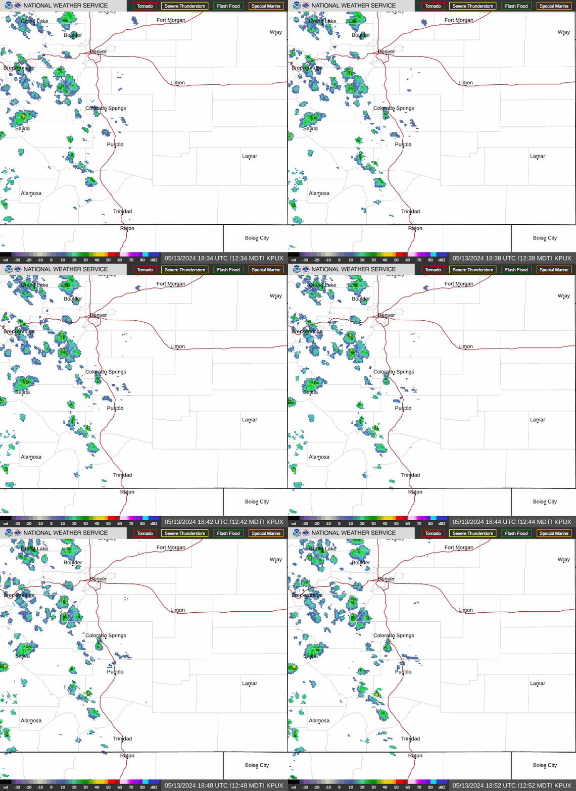
Currently, convection has begun to increase over/near the southern sangres early this afternoon, as next wave of storms over nm begins to head north into co. Expect showers/storms to become widespread over the higher terrain this evening, with a few cams now showing at least some storms into the i-25 corridor around pueblo and colorado springs after 5-6 PM. Heavy rainfall the main threat with any activity, and flash flood watch over the ern san juans looks good as SW mid level flow enhances precip here. Will have to watch area burn scars for flood potential as well, as 18Z HRRR brings some stronger activity across the aspen acres scar this evening. Initial wave of precip then lifts north out of the area after midnight, though next embedded S/W trough will likely re-fire convection over at least the san juans by sunrise. On thursday, wave comes through in the morning, with mostly showers spreading northward over the mountains through midday. Second wave then sparks a round of thunderstorms thu afternoon/evening over the higher terrain, with a few storms on the plains along the surface trough (from trinidad to eads) as well.
Issued at 140 PM MDT wed sep 16 2026
Thunderstorms likely across much of the area thursday evening then most activity ends toward midnight, as weak subsidence spreads across srn co. On friday, mid-level flow takes on a more wly component, as western u.S. Upper trough moves into the nrn rockies. Mountains will see widespread storms once again fri afternoon/evening, with heavy rain potential perhaps shifting a little eastward into the ern mountains by evening. Weak cold front on the plains by fri evening may also help enhance convective chances on the plains and i-25 corridor. Upper low then closes off over wy on sat, with trough axis into wrn co by sat night. Mountains along the continental divide may see some drying as main moist plume is pushed eastward, though still enough residual moisture around for at least isolated storms. Eastern plains may become active late sat afternoon, as cold front drops south, bringing an enhanced surge of usplope moisture/instability behind it. Best forcing may be just north of the area in nern co, though still expect sct/numerous showers and storms across the eastern mountains/plains, especially from late sat afternoon well into the evening. Cooler on sunday, with much less in the way of convection over the mountains as drier air spreads in from the west. Still a question if post- frontal upslope and instability will be enough to produce showers/storms over the eastern mountains and plains sun/mon afternoon/evening, as at least a few models/ensemble members show a drier solution. Current nbm forecast leans wet, so still a good deal of uncertainty in precip chances as we head into next week. A little more confidence in the temperatures forecast, which suggests readings slightly cooler than seasonal averages from sunday into tuesday.
Issued at 1157 AM MDT wed sep 16 2026
At kals, VFR early this afternoon, then fairly widespread shra/tsra activity begins to develop after 20Z. Best chance for a tsra will be in the 21Z-03Z timeframe, with reduced cigs/vis due to heavy rain and gusty winds over 30 KTS possible. Still a chance of an occasional shra through much of the night into thu morning, with areas of MVFR cigs possible overnight as well.
At kcos and kpub, VFR conditions expected the next 24 hours. Will carry a prob30 for a shra at both sites mainly this evening, as weakening convection moves east off the high terrain. Limited instability should reduce the risk of -tsra this afternoon and evening, with just a low chance (10-20 percent) of thunder. Otherwise, mid/high level clouds will slowly increase, with VFR cigs developing overnight into thu morning. Prevailing winds will remain relatively light through the period, though some briefly gusty/erratic winds possible in/near any convection.