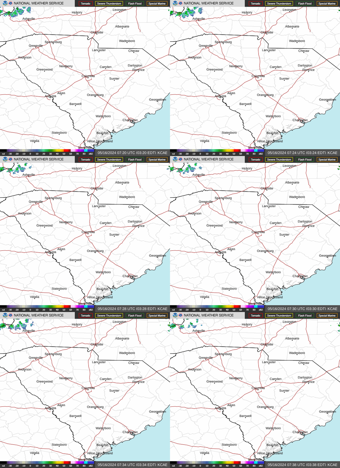
Radar — KCAE
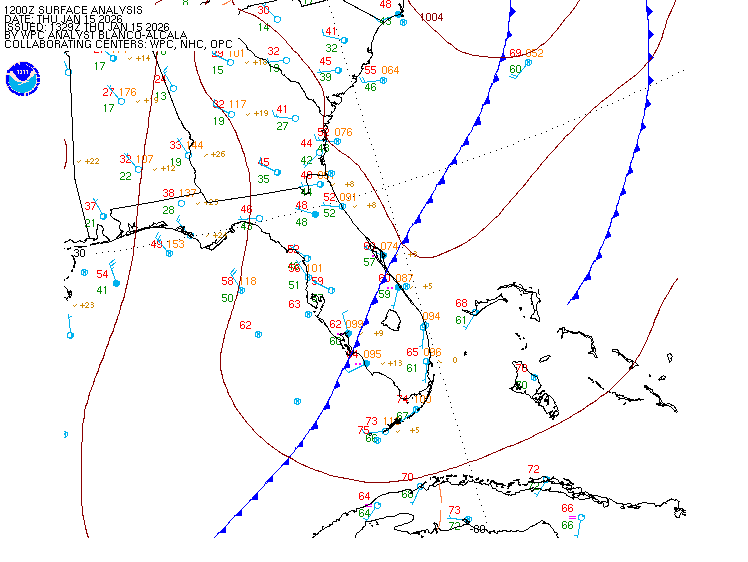
Surface Analysis — Eastern U.S. (South)
Satellite

Log in to save this location.
Nearest monitored road: US-1 (Primary)
Aviation updated for 18Z tafs. Otherwise, no significant changes.
- 1. Drier and slightly cooler air continues into late in week.
- 2. Increasing moisture and rain chances return for the end of the week through the weekend and into next week.
Key message 1: drier and slightly cooler air continues into late in week.
An upper ridge over the southeast is forecast to remain over the area through midweek. The ridge will retrograde west before an upper low/inverted trough develops off the coast and breaks the ridge down. Meanwhile, at the surface a frontal boundary continues to march toward the gulf coast states, ushering in a surface high pressure along with cooler temperatures and drier air. Temperatures will hang around the upper-80S to low-90S today and tomorrow before reaching the mid-90S by the weekend. Dew points are expected to be around 60f, with some spots dropping into the upper 50S this afternoon through friday afternoon. All in all, seasonable temps can be expected tomorrow once again while relatively dry air remains in place through friday.
Key message 2: increasing moisture and rain chances return for the end of the week through the weekend and into next week.
The aforementioned upper low/inverted trough is forecast to move westward for the end of the week into the weekend. As it does, moisture and rain chances begin to increase friday into the weekend and into next week. The main change from previous forecasts is that guidance has trended toward a sooner arrival of rain chances to the area. Scattered showers and storms are anticipated to arrive at the end of the work week rather than the weekend. Rain chances generally continue into next week as increased moisture lingers in the area. Pws generally range between 1.5 and 2.0 with dewpoints in the mid 60S to low 70S. A relative lull in coverage is possible sunday. The efi signals warmer than average on friday, but temps drop back to near normal for the remainder of the forecast period.
VFR conditions expected through the 24hr forecast period.
Scattered to broken VFR clouds around 5kft are expected to continue over the terminals through this afternoon. As sunset approaches, clouds will decrease in coverage with only a few mid-level clouds anticipated overnight and into thursday.
Winds are easterly between 5 to 10 knots, with a few higher gusts possible through the afternoon. A return to light and variable will occur after sunset, lasting through thursday. With the drier air mass in place tonight, restrictions are unlikely.
Extended aviation outlook...rain and restrictions unlikely for much of the week with increasing chances for showers and storms by this weekend.