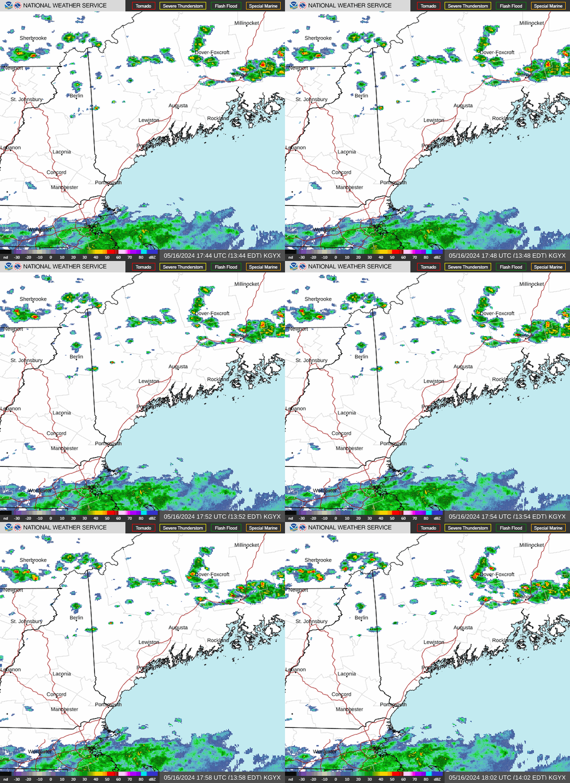
Radar — KGYX
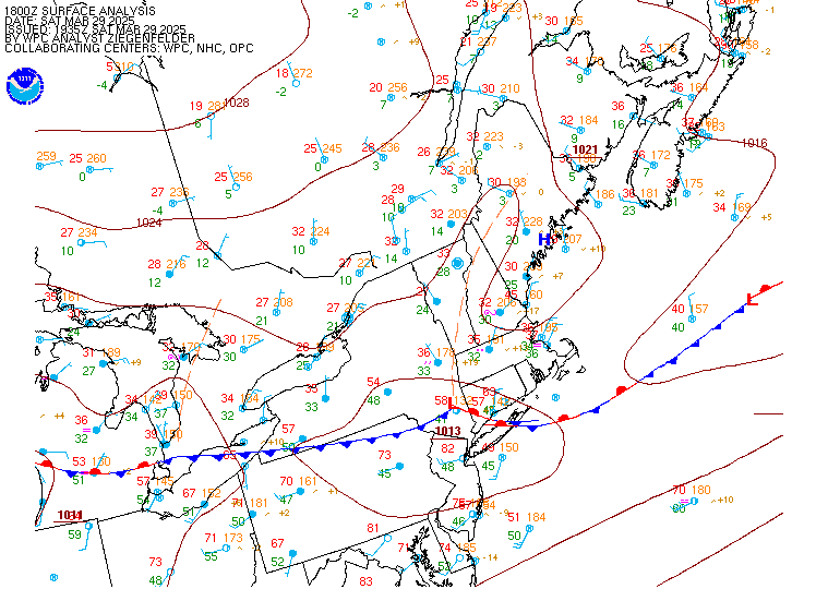
Surface Analysis — Eastern U.S. (North)
Satellite

Log in to save this location.
Nearest monitored road: US-3 (Primary)
Focus is growing on rainfall potential late this week.
1. Outside of some light showers in the mountains, conditions will stay mostly dry through mid week with above normal temperatures.
2. The first chance in several weeks of a soaking rainfall arrives late this week.
Key message 1 description...
High pressure centered south of new england will provide warm and mostly dry weather today. Highs will range from near 60f north of the mountains to near 70f south of the mountains with SW winds gusting 15 to 20 MPH at times. A trough digging across atlantic canada will send a frontal zone southward tonight with this front stalling near northern maine through tuesday night. This front will provide a focus for clouds and occasional showers with shower chances mainly confined to the mountains towards central maine. Temperatures will continue to run above normal with lows in the 40S and highs tuesday ranging from the upper 50S near the canadian border to low 70S across southern nh. Onshore winds will likely keep tuesday's highs lower than monday across southern and coastal maine. Total QPF from monday night through tuesday night will generally be a tenth of an inch or less.
The stalled front will lift north of the area as a warm front wednesday. This will lead to diminishing pops across the north and skies turning partly to mostly sunny temperatures climb well above normal with highs ranging from the 60S across the north to low 70S south of the mountains. Winds turning onshore will keep coastal and central maine in the 60S. Above normal temperatures likely continue through at least thursday.
Key message 2 description...
A cold front approaching from the west likely stalls near new england thursday night and friday. This front will help to focus rainfall as a couple waves of weak low pressure and moisture move along the front. The front itself just brings the chance for some scattered showers thursday night into early friday. But where it stalls will determine where the heaviest rainfall ends up setting up.
There isn't a strong consensus yet amongst the models, with the focus of the heaviest rain still shifting from run to run and model suite to model suite. There's still the chance that it ends up offshore or across southern new england, but also the chance that it sets up across northern new england. There is also the chance of tapping into some tropical moisture, with this being more likely in a slower front scenario.
So while it's too early to draw any strong conclusions, the potential exists for some significant rainfall late this week, starting on friday. Depending on how far west the front stalls, rainfall could also continue into the weekend as well.
Through tonight: VFR conditions prevail through tonight with showers possible around the higher terrain along the international border. Some showers may make it to aug late tonight into tuesday.
Tuesday-tuesday night: MVFR ceilings possible, especially in the mountains. More widespread showers possible, mainly at hie and aug and points northward.
Wednesday: VFR conditions expected.
Thursday-friday: MVFR ceilings and rain looking more likely.
Winds and seas look to remain below sca thresholds through much of the week. High pressure south of the waters will lead to prevailing SW flow today through tonight. A front dropping south through canada tuesday into tuesday night. The front lifts north wednesday with mainly southerly flow through the end of the week as a cold front approaches from the west. Southerly winds and building seas could bring sca conditions thursday night and friday.