Radar — KILN
Surface Analysis — Central U.S. (Central)
Satellite

Log in to save this location.
Nearest monitored road: West 3rd Street (Primary)
Flood watch issued tonight and thursday.
1) heat and humidity continue through thursday, with occasional chances for storms through the forecast period.
Key message 1)
The center of a large mid level ridge remains over the tn valley today. Iln/S area is in the warm and moist airmass with PWAT values around 2 inches. Surface dewpoints in the lower and middle 70S and highs from the mid 80S north to the lower 90S south. This will result in maximum heat indices of 95 to around 100 across the south.
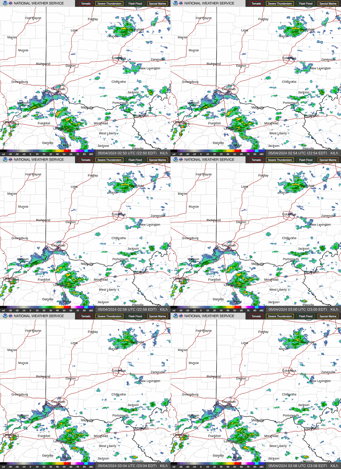
Morning convection has shifted east of the area and weakened. Focus shifts to mcv which tracks east in the westerly flow around the periphery of the ridge across central and northern ohio. This combined with moderate instability will lead to scattered storms late this afternoon into early evening. The best coverage of storms looks to impact areas along and north of i-70. Dcape values approaching 1000 j/kg suggest that a few for the stronger storms could produce strong to damaging winds but an organized threat appears unlikely. The greater threat will likely be for heavy rain, with PWAT values around 2 inches. Also, model solutions suggest that a 8h low level jet around 30 KTS will act to generate a potential mcs. This complex will likely develop into west central ohio late tonight and move thru the area thursday morning. The exact placement of this feature is somewhat uncertain but the most likely location is along and north of the i-70 corridor. Href lpmm suggest that the potential exists for swaths of 2 to 4 inches with locally up to 5 inches thru thursday. This area has received heavy rain last night. This lines up with WPC forecast area in slight risk of excessive rainfall today and marginal risk on thursday. Will issue a flood watch for potential flash flooding overnight into thursday.
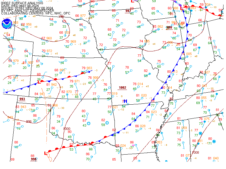
The northern portion of the mid level ridge breaks down as the center of the high retrogrades west across the lower ms valley into the southern plains on friday. This will allow the surface front to shift south into the ohio valley, lowering max temps, but increasing precipitation chances across the south prior to ending. A brief respite in rain will exist later friday into early saturday with additional rain expected saturday night and sunday. Forecast confidence becomes lower in any specifics this weekend.
Morning convection has shifted east of the area and weakened leaving VFR conditions. Additional scattered storms are expected to develop in the moderately unstable airmass this afternoon. The best coverage of these storms will impact the northern taf sites prior to dissipating early this evening. A low level jet will lead to the development of a thunderstorm complex that impacts the area late tonight into thursday. There is some uncertainty in the exact track of these storms but the most likely impacts are across the northern taf sites. Some brief MVFR to IFR conditions are possible where storms hit.
Also, have a mention of MVFR vsby restrictions at kluk valley location. There is some uncertainty regarding the fog and if clouds are thinner IFR conditions will be possible.
West-southwest today, at or below 10 knots become light and variable tonight and then southwest becoming northwest at less than 10 KTS thursday.
Outlook...thunderstorms are possible at times through sunday.