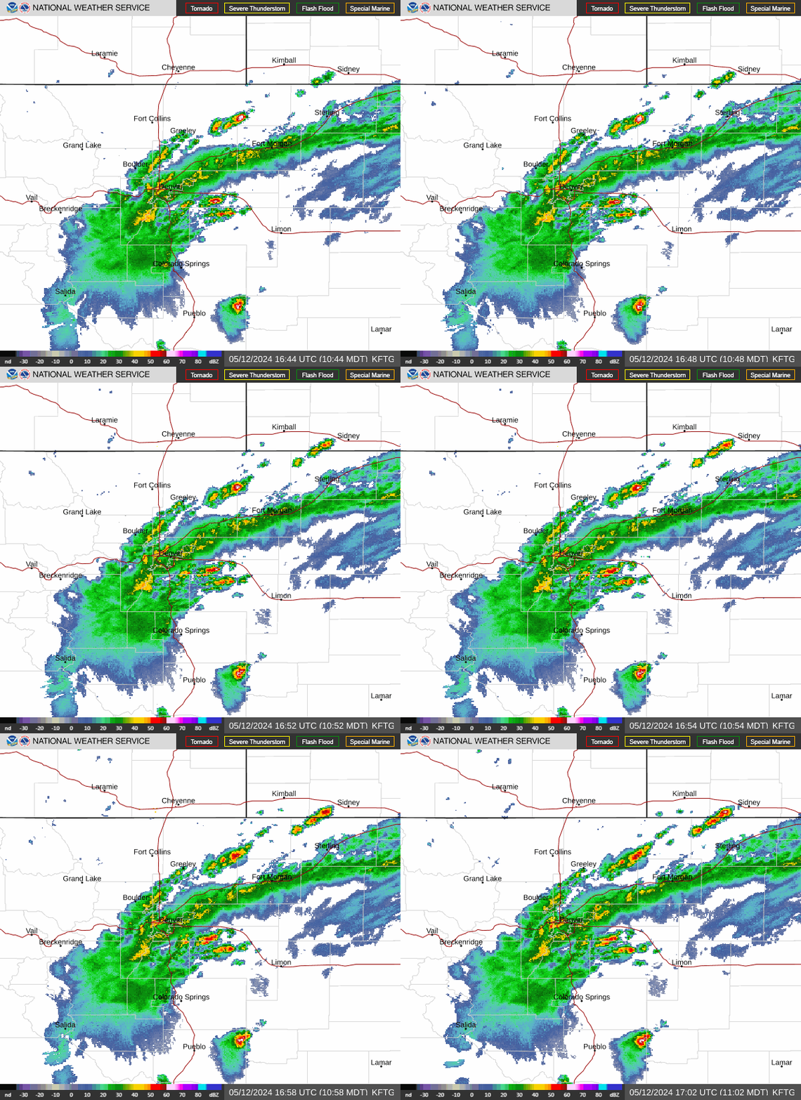
Radar — KFTG
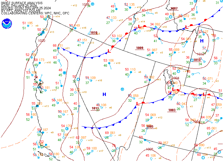
Surface Analysis — Western U.S. (Central)
Satellite

Log in to save this location.
Nearest monitored road: East 14th Avenue (Secondary)
- unsettled pattern rest of this week. This afternoon/tonight, thursday, friday, and saturday all look fairly active. Locally heavy rainfall will be the greatest threat.
- temperatures warm through friday, then settle back closer to or slightly below seasonal normals this weekend.
- trend toward drier weather by early next week.
Issued at 128 PM MDT wed sep 16 2026
Water vapor satelliteimagery shows a plume of moisture traveling north-northeast out of mexico and across the four corners region. Den acars soundings indicate this moisture has yet to reach northeast colorado with precipitable water values around 0.80 (in).moisture increases tonight and thursday with ingredients becomingfavorable for locally heavy rain. Precipitable water values grow to over 200% ofnormal, and above daily observed maximums (outside ofclimatology).
There are two areas of numerous showers and thunderstormsat this time across the southwest part of the country. One is over northwest colorado/northeast utah, associated with the right entrance region of the jet. A second area of numerous storms is over arizona, triggered by a shortwave trough lifting northward from the eastern pacific and mexico. Some of the showers and storms over northwest colorado are creeping into north central colorado bringa brief period of heavy rain and gusty winds. Additional showers and thunderstorms are expected to form over the mountains and higher foothills this afternoon and early evening. It's still unclear how many showers and storms will spill onto the urban corridor and nearby plains. Models and acars soundings show little instability, so most of this initial convection is expected to dissipate as it leaves the higher terrain. Lift increases this evening and tonight as a shortwave trough over desert southwest moves into the central rockies. Scattered showers and thunderstorms are expected to lift northward over night and into thursday morning due to lift from the shortwave. The shortwave trough continues northward, bringing numerous showers and thunderstorms to southeast wyoming, western nebraska and possibly far northern colorado early thursday afternoon. Even though the shortwave trough will be north of the state thursday afternoon, a surface low with a warm front like feature may promote storm development thursday afternoon. The boundary is expected to run roughly from loveland to greeley to akron. Because of the very moist airmass, heavy rainfall and localized flooding will be the main concern with the thunderstorms thursday.
Southwest flow aloft will prevail friday and saturday around the upper level low off to our northwest while ridging remains to the southeast. The airmass stays very moist with precipitable water values of 160-220% of normal. Scattered afternoon/evening showers and thunderstorms are expected both days. Saturday looks slightly better for precipitation chances as the upper level low will be closer (offering better lift), and instability will be greater. Temperatures are expected to top out in the upper 70S to mid 80S with friday being a little warmer.
The upper levellow tracks eastward across wyoming on sunday. With troughiness over eastern colorado, enough moisture is expected to hang on for a round of showers and thunderstorms. A northwest flow aloft will bring cooler air into the state with highs expected to be in the 70S across northeast colorado. Some 60S will be possible across northern parts of the state if the low takes a more southerly track and clouds persist most of the day.
On monday, the upper level low weakens and lifts northeast into the great lakes region. Meanwhile, a new upper level low moves onto the southerncalifornia coast. Ridging is expected to prevailbetween these systems over colorado on monday. This ridging could linger into tuesday, depending on how much eastward progress the upper level low to the west makes. Temperatures will be seasonal under this pattern with highs in the mid 70S to low 80S on monday and tuesday. Flow aloft across the central and southern rockies is expected to back to the southwest or perhaps south ahead of the upper level low on tuesday and wednesday. This could send another surge of subtropical moisture northward. One would think dry conditions should prevail under the ridge monday and maybe into tuesday. Precipitable water values stay slightly above normal monday and tuesday, so we can't rule out isolated showers and thunderstorms, especially towards tuesday if we start to see another surge of subtropical moisture. Wednesday could hold a better chance for showers and thunderstorms, but this will depend on the strength and track of the upper level low.
Issued at 1217 PM MDT wed sep 16 2026
Light, variable winds expected to continue for the next couple hours before settling in an east/northeast pattern for most of the afternoon. The main concern this evening and overnight will be the potential for showers/storms. Models are fairly consistent on rain chances starting around 23Z and lasting through at least 10Z across the area. While today's southwesterly flow aloft is dragging in plenty of monsoonal moisture, conditions in the low levels should remain stable throughout the afternoon, which will hinder any convective development. As such, we've opted to keep tonight's rain chances at a prob30. Outside of any variability from showers/storms, winds overnight should stay at drainage before becoming variable starting around 15Z, followed by another east/northeast pattern for the morning and afternoon.
Conditions are more favorable for thunderstorms/rain tomorrow, with above normal moisture and greater instability across the area expected. Following model guidance, we've started a tempo for -tsra at 21Z and lasting through the end of the taf period. Should current forecast/model trends continue as they have, we'll likely be extending that tempo through 01/02Z for kden at the next regular taf update.