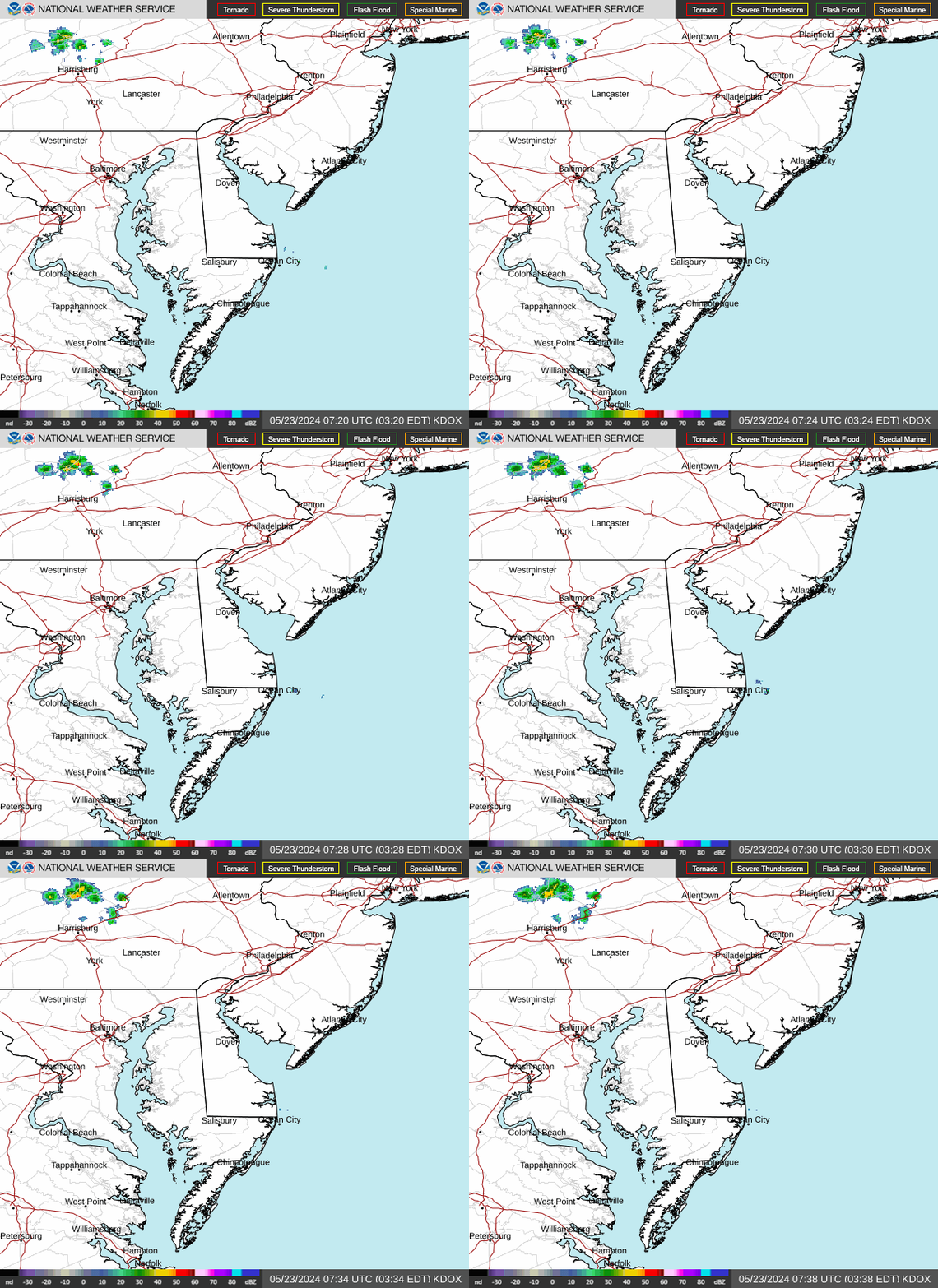
Radar — KDOX
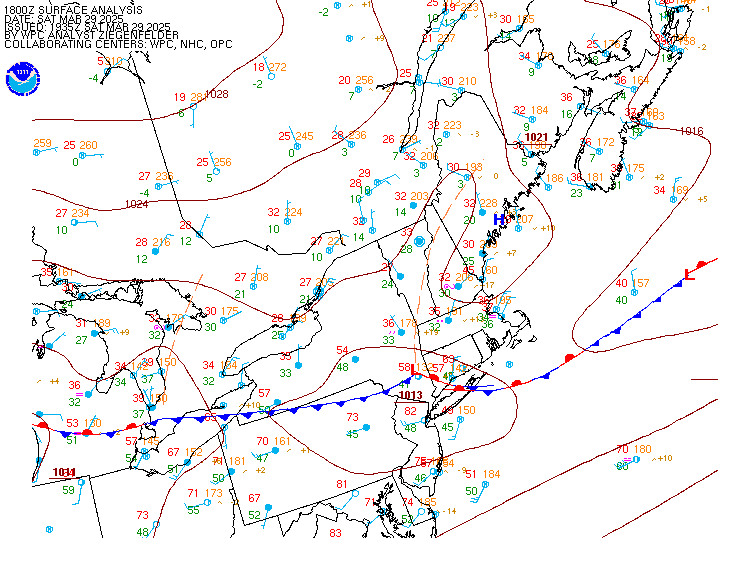
Surface Analysis — Eastern U.S. (North)
Satellite

Log in to save this location.
Nearest monitored road: South State Street (Primary)
Increasing potential for fog tonight into tuesday morning and tuesday night into wednesday morning. Otherwise, no significant changes to the forecast.
1. Some areas of frost again overnight. Aside from potential for nocturnal fog development tonight and tuesday night, generally tranquil weather is expected to prevail through the middle of the week.
2. Rain chances return late this week and into the weekend.
Key message 1...some areas of frost again overnight. Aside from potential for nocturnal fog development tonight and tuesday night, generally tranquil weather is expected to prevail through the middle of the week.
High pressure will remain in place within the vicinity of our area through the middle of the week. Dry weather is expected to continue through wednesday amid warming temperatures each day.
Overnight, low temperatures will be similar to sunday morning's lows, except a few degrees higher along and north of i-78. The current forecast is for low to mid 30S across interior pa and nj areas, and upper 30S to mid 40S for the urban corridor, delmarva, and coastal areas. So we anticipate some areas of frost developing again, mainly for our pa and nj areas outside of the urban corridor and immediate coast. A frost advisory remains in effect as previously issued through 8 AM.
Scattered to broken high cloud cover will persist through the middle of the week despite surface high pressure. Temperatures are expected to increase back to above normal values, warming each day through wednesday. Highs will be in the mid 60S today, in the upper 60S to low 70S tuesday, and in the low to mid 70S wednesday. Overnights will becoming increasingly milder (no frost/freeze potential). Dry weather is expected to persist through wednesday.
There is potential for areas of fog development both tonight and tuesday night. Dewpoints will also be on the rise each day. Given mostly clear skies, light winds, and long nights, we anticipate some fog development across the area during the overnight periods. The latest hi-res guidance suggests the lower visibilities (and thus higher dense fog probabilities) will be along and southeast of the i-95 corridor and across the coastal plain. Confidence on any dense fog is low, but this is something that will be monitored for future updates. Where fog does develop, it will likely be slow to mix out after sunrise tuesday and wednesday mornings. Light southerly flow will promote dewpoint advection and the solar insolation is relatively weak until closer to midday, which will limit mixing earlier in the morning.
Key message 2...rain chances return late this week and into the weekend.
The ridging that will be in place across the area for the majority of the upcoming week will finally begin to break down by wednesday night into thursday as a potent upper trough over central portions of the US closes off and lifts northeastward into portions of the great lakes, southern portions of ontario and quebec, and perhaps northern new england late this week. As this occurs, broad troughing is expected to take shape across the eastern tier of the US, and a few lobes of upper level energy will likely pivot through the region thursday and into the weekend. At the surface, low pressure centered over the midwest is expected to track northeastward as it weakens into thursday. After this time, there is still considerable uncertainty as to how this system will evolve to impact our local area.
At least broad low pressure looks to approach the area thursday into friday coincident with the period of greatest height falls across the region. This is expected to bring rain chances back to the region, potentially as early as wednesday night, but more likely thursday into friday. For right now, pops are in the 50-70% range for most of the area during this time period. With a lack of stronger forcing and little to no instability, this looks most likely to be just a beneficial wetting rain to the region.
Heading into this weekend, ensemble guidance indicates negative h5 anomalies and generally lowered surface pressure across the region. This indicates that the pattern may remain a bit unsettled through saturday before drier and cooler air begins to work into the region by sunday.
The following discussion is for kphl, kpne, kttn, kabe, krdg, kilg, kmiv, kacy and surrounding areas.
Through 12Z...VFR. Winds less than 5 KTS favoring a south to southwest direction. Winds calm at times. Some patchy fog possible toward dawn. High confidence.
Today...VFR. SW winds less than 5 KT to nearly calm in the morning, becoming SW 5 to 7 KT in the afternoon. High confidence.
Tonight...VFR to start, then areas of fog are forecast to develop after 06Z. MVFR to IFR visibility possible. South to southwest winds less than 5 KTS to calm. Low confidence on fog details, but moderate confidence in fog impacting most terminals.
Outlook...
Tuesday through wednesday...VFR is expected to prevail. Areas of fog possible tuesday night, otherwise no significant weather.
Thursday through friday...rain will be possible at times with restrictions possible.
No marine hazards through tonight. Winds settling out of the south to southwest around 5-10 KTS today into tonight. Seas 1-2 feet. Fair weather through tonight, however some patchy fog is possible near the atlantic coast and delaware bay overnight.
Outlook...
Tuesday through wednesday night...no marine hazards currently anticipated with winds below 25 KT and seas below 5 feet. Patchy nearshore fog possible again tuesday night.
Thursday through friday...advisory conditions possible with southeast winds increasing to 10-15 KT with gusts approaching 25 KT and seas increasing to 3-5 feet. Visibility restrictions possible at times in rain.