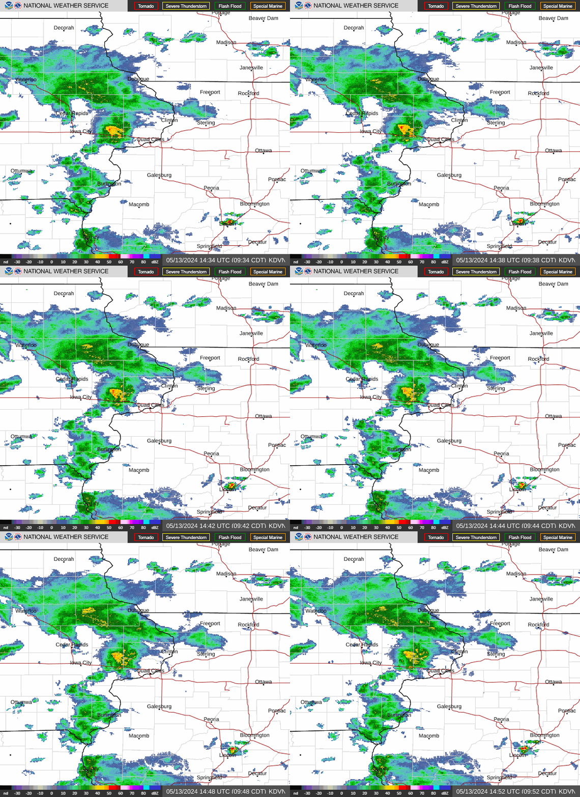
Radar — KDVN
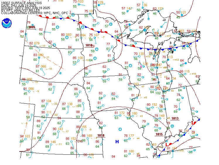
Surface Analysis — Central U.S. (North)
Satellite

Log in to save this location.
Nearest monitored road: Central Avenue (Primary)
- an active weather pattern early next week will bring rain and breezy conditions to the region, including on election day.
Issued at 215 PM CDT sat oct 31 2026
A weak mid-level shortwave trough will drift across the mid to upper mississippi valley region today through sunday. This system may result in occasional patchy light rain or sprinkles at times. However, forcing for ascent will be limited and rainfall amounts will remain light with only a trace to possibly a few hundredths anticipated. Temperatures this evening for trick-or-treat activities will be holding in the low/mid 50S north to upper 50S/low 60S central and south. For sunday, a seasonably mild day is expected with highs in the mid 60S for most areas.
Issued at 215 PM CDT sat oct 31 2026
Forecast focus remains on the evolution of a longwave trough early next week into wednesday. A synoptically driven mid-latitude system is progged with a colorado low deepening as it tracks into the great plains on monday. Impressive moisture transport ahead of this system is expected with pw values around 1.5" or near the 99th percentile and a daily max for nov 2nd. Nbm precip chances ramp up monday PM into tuesday (50-90%) as the upper low pushes out of the southern rockies into the central plains. Well above normal highs in the mid 60S/low 70S are forecast for monday/tuesday, which is still 5-10 degrees below records. It will also be breezy with southeast to south winds gusting 20-30 MPH. For rainfall potential, the nbm 72-hr exceedance probabilities of 1" ending 12Z thursday remain around 50-80% for most locations.
Wednesday onward, behind the main synoptic system there will be periodic lower end chances for rain, but amounts should be under a quarter inch. Temperatures will be slightly cooler with highs in the 60S and lows in the 40S, albeit still above normal for early november.
Issued at 615 PM CDT sat oct 31 2026
Areas of rain and rain showers will persist across parts of eastern iowa and northern illinois through 12Z/01. Vsbys may briefly drop into MVFR in a heavier shra. After 12Z/01 an area of MVFR cigs will begin moving into southeast iowa and west central illinois with the potential for additional shra.