Radar — KDLH
Surface Analysis — Central U.S. (North)
Satellite

Log in to save this location.
Nearest monitored road: West 2nd Street (Primary)
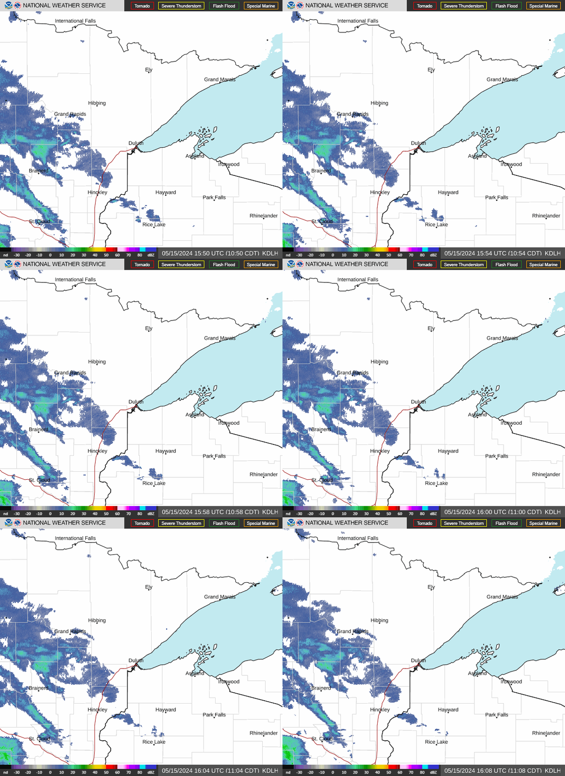
- rain chances this afternoon and tonight. Rain amounts should be light, less than a tenth of an inch for most areas.
- another round of showers will spread across the region early friday and linger into saturday morning. The heaviest rainfall (50-60% of 1") will be from burnett to price with a sharp gradient in rainfall totals as you head north.
- near-normal high temperatures in the mid 60S to low 70S for the later half of the week.
Issued at 257 PM CDT wed sep 16 2026
Current conditions/tonight:
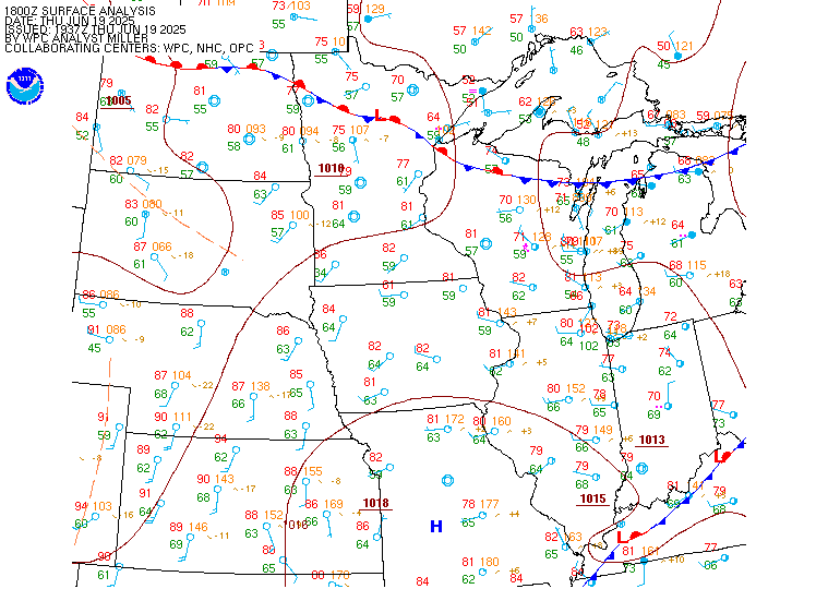
Surface high pressure is exiting the region this afternoon with winds gradually turning to out of the south. Zonal flow aloft with a weak surface low over western nd will see increasing clouds through the afternoon and evening hours. Broad 700mb warm air advection moves in from the west this afternoon with a subtle shortwave aloft to introduce some light rain across the region. These features can currently be seen over central nd with weak radar echoes present across the area. The lack of a good moisture source and overall weak forcing will keep rain amounts on the low side, generally less than 0.10" minimal instability and abysmal lapse rates will likely negate any thunderstorm chances. The increased cloud cover tonight with the additional warm air advection will keep low temps above 40f and eliminate any frost chances. Additionally, latest guidance suggests that some cloud cover could briefly disperse after the rain exits in the early morning hours leading to a small window for areas of fog developing.
Thursday/friday:
Another brief quiet span on thursday as high pressure traverses across the area. Expect similar temperatures with highs in northern mn in the upper 60S and some low to mid 70S from the brainerd lakes into NW wi.
Friday morning surface high pressure retreats to ontario as a surface low moves across the northern plains. The 12Z deterministic guidance is highlighting a tight baroclinic zone setting up as the warm front moves across southern mn into central wi. This corridor will feature a strong 850mb fgen band and will promote heavy rainfall. Overall track of the system still has some inconsistency run to run but the axis of heaviest rain continues to remain south of our cwa. Our southern tier of counties should still see some decent rain totals being on the northern end of the precipitation shield but we will likely see a sharp gradient in rain totals as the influence of the departing high pressure will be interjecting dry air in the low levels. We trimmed back the northern precipitation totals and have nudged the overall solution closer to the lref which has a 50-60% chance of 1" or more across burnett into price.
Weekend:
Friday's system will be exiting to the east saturday morning with some lingering rain across NW wi. This activity will clear up by mid day with high pressure moving into manitoba and northeasterly winds streaming back into the northland. Quiet weather for the remainder of the weekend as the high moves into ontario. Highs will in the mid 60S with overnight lows in the 40S.
Issued at 1227 PM CDT wed sep 16 2026
VFR conditions this afternoon with some diurnal cumulus forming as upper level clouds begin to filter in from the west. Scattered light rain will be possible this afternoon and overnight. Depending on which areas get rain and whether or not we can get some rapid cloud clearing there is potential for some areas of fog to develop tomorrow morning. Fog will not linger long with the forecast quickly returning to VFR conditions by late morning.
Issued at 257 PM CDT wed sep 16 2026
Northeast to east winds of 5 to 10 knots across western lake superior. These winds will weaken and turn to out of the west and southwest tomorrow. Hazards winds to small vessels return friday out of the east with rain spreading over the lake as well.
For the open water discussion, refer to the NWS marquette area forecast discussion at weather.gov/mqt.
Issued at 257 PM CDT wed sep 16 2026
No fire weather concerns. Min rhs through the forecast period remain above 35% with highs in the 60S and low 70S. Scattered light rain across the region this afternoon and evening. Totals will be less than 0.10". More rain chances will arrive early friday morning and linger into saturday morning. The heaviest rain still looks to remain to our south but we do have a 50-60% chance of seeing 1" of rain from burnett into price. Totals taper off as you head north and there will likely be a sharp gradient as dry air from canada undercuts some of the rain totals.
See the fire weather forecast product for a more thorough breakdown of fire weather conditions.