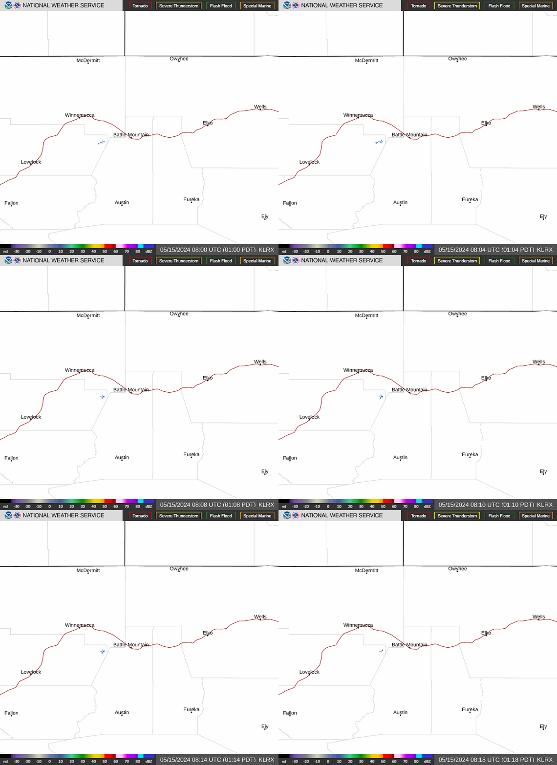
Radar — KLRX
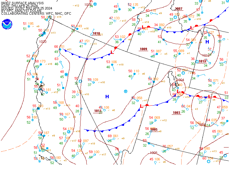
Surface Analysis — Western U.S. (Central)
Satellite

Log in to save this location.
Nearest monitored road: 5th Street (Primary)
* elevated fire weather conditions in central nevada today and thursday
* low chance for showers and thunderstorms along the oregon and idaho borders, as well as the utah border
(today through next wednesday)
Weather pattern overview: cut off low takes residence over norcal this morning before ejecting east along the northern nevada state line friday morning. The position of the low over norcal today and tomorrow will produce elevated south-southwestelry winds across most of the great basin and especially across central nevada. The strongest winds will be focused across white pine county and gusts 25 to 35 MPH, reaching 45 MPH across the high terrain should be expected. Patchy blowing dust will be present. The upper low and associated weak surface boundary will not produce significant rainfall with atmospheric moisture being the limiting factor. However, that being said, locations along the idaho and oregon borders may experience a brief light rain shower or two. Isolated dry thunderstorms will also be possible though storm coverage looks to be less than 15%. Concurrently, significant moisture across utah, thanks to a northerly push of subtropical moisture from the desert southwest, will spill into portions of eastern nevada and provide a 10% to 20% chance for rain showers and dry thunderstorms along the utah state line. The eastern half of white pine county, primarily over the snake range, will again be the most likely location for any shower and thunderstorm activity as atmospheric condtions look most favorable here.
As the cut off low ejects east along the nevada border friday morning, moisture will also be pushed east out of the forecast area, producing dry weather and generally light winds for this weekend. Temperatures across northern nevada will cool several degrees thursday night and friday as the low and associated cooler air mass move east.
Temperatures gradually warm thru the weekend with a return to daytime highs in the upper 70S to mid 80S across the valleys by sunday. A low chance (10%) for rain showers across central nevada will be present early next week as a weak pacific low pressure system moves into central california from the west.
Forecast confidence & deviations: high confidence remains in elevated fire weather conditions today and thursday. Moderate confidence exists for showers and thunderstorms along the northern nv border and in eastern white pine county the remainder of the week. Significant grid edits were not necessary at this time though did massage pop grids within white pine county to better represent thunderstorm chances.
VFR conditions will be present at all terminals thru wednesday night. Afternoon breezes will be present across central nevada terminals including ktph and kely with south- southwesterly gusts 25KT to 30KT. Patchy blowing dust may cause brief reductions in vis, primarily at ktph and kely, though confidence is not high enough to include bldu in the taf.
Elevated fire weather conditions will exist today and tomorrow across central and northeastern nv. This includes fwz 425/426/427/469/470. Strong southerly flow will create sustained winds of 20-25 MPH with gusts of 30-35 MPH today and thursday afternoon. Rh values of 10-15% combined with strong southerly flow have prompted red flag warnings for fwz 426/427 today and thursday afternoon. Rh values across eastern nv are higher (18-28%) prompting a fire weather watch for fwz 425/469/470 thursday afternoon. The rh forecast will be reevaluated later this morning to determine whether the watches will be upgraded to red flag warnings.
A cut off low and associated weak frontal boundary will provide a low chance (10% to 15%) for light rain showers and isolated dry thunderstorms along the idaho and oregon borders today and thursday. Wetting rains are not expected under any such activity. There is also a low chance (10% to 20%) for light showers and isolated dry thunderstorms along the utah border and particularly within the eastern half of zone 425, primarily the snake range. That said, the vast majority of thunderstorm activity will remain to the east within utah where atmospheric moisture profiles and instability are much more conducive for the development of thunderstorms. But latest numerical guidance has ushered moisture and instability slightly further west into nevada for this afternoon and evening. Increased confidence for isolated thunderstorms is expressed within the eastern half of white pine county than previous forecasts.