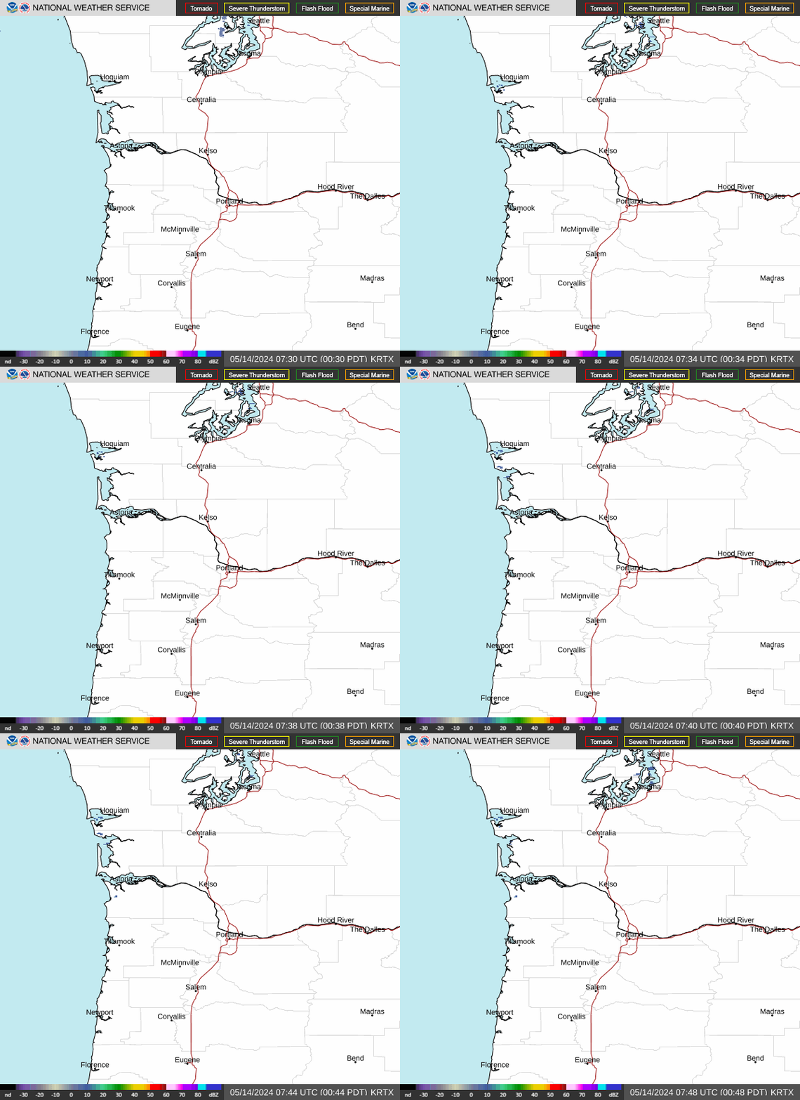
Radar — KRTX
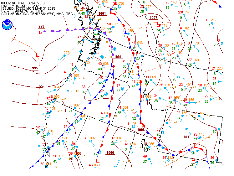
Surface Analysis — Western U.S. (North)
Satellite

Log in to save this location.
Nearest monitored road: Mill Street (Primary)
A transition to warmer and drier weather is underway today as offshore flow develops across the region. Temperatures peak thursday before onshore flow returns, while dry conditions are expected to persist through the weekend. A cooler pattern may develop early next week as troughing approaches from the gulf of alaska.
Now through tuesday...the weak upper-level trough that moved through the region tuesday is shifting south into northern california today as ridging strengthens offshore and thermal troughing develops inland. This will mark a quick transition toward warmer and drier conditions, with offshore flow increasing through the columbia river gorge and cascade gaps. Easterly to northeasterly winds will also develop across the foothills and coast range, while northerly winds increase through the willamette valley. The combination of downsloping flow and increasing subsidence will allow temperatures to rebound into the upper 70S to lower 80S across the interior valleys, while coastal temperatures climb into the low to mid 70S.
The strongest winds are expected through the gorge and other east-west oriented gaps in the cascades, where gusts around 20-30 MPH are likely. Exposed ridgetops could see locally stronger gusts approaching 40 MPH, although the probability of exceeding 40 MPH remains relatively low at 5-20 percent. Northerly winds will also make for a breezy day across the central and southern willamette valley, with gusts generally around 20-25 MPH and roughly a 10-30 percent chance of gusts exceeding 30 MPH. Despite the drier and windier pattern, afternoon humidity is expected to remain above 30 percent across most areas, limiting the potential for rapid fire spread.
Thursday should be the warmest day of the week as weak offshore flow persists into the morning. There is moderate to high confidence that interior valley temperatures will reach the lower 80S (65-95% chance of hitting 80 degrees, lowest to highest chances from eugene northward), with continued dry conditions across most of the forecast area. The thermal trough then weakens thursday afternoon, allowing onshore flow to return and bringing a gradual moderation in temperatures. An upper- level low shifting northeast from northern california toward the great basin could draw enough moisture northward to support a small chance for thunderstorms along the crest of the lane county cascades. Current probabilities remain only 5-10 percent, with the rest of the forecast area expected to remain dry and outside of the thunderstorm threat. SPC has included a portion of the lane county cascades in a general thunderstorm risk, so this potential will need to be monitored as thursday approaches.
The overall pattern becomes less certain friday through the weekend as ensemble guidance differs on the strength and position of the upper-level ridge. Some solutions maintain weak troughing over the great basin, which would favor temperatures closer to the lower 70S, while others build stronger ridging over the pacific northwest and support temperatures into the low 80S. Sunday has slightly higher chances of warm temperatures, with temperatures anywhere from the mid 70S to mid 80S expected. Despite the temperature spread, the signal for dry weather remains strong through the weekend.
Looking ahead to early next week, ensemble guidance increasingly supports an upper-level trough dropping southeast from the gulf of alaska. The eventual position and strength of this feature remain uncertain, but the pattern would favor a return to stronger onshore flow and cooler temperatures across the region. ~12
Through 18Z thursday...predominately VFR conditions expected over the next 24 hours with offshore winds (east to northeast) aloft. At the surface, offshore winds continue increasing through the morning hours. Expect north winds along the coast and willamette valley terminals, northeast winds at portland area terminals, and east winds over the cascades and through the columbia river gorge. Winds will increase to 10-15 KT with gusts up to 20-25 KTS, higher up to 30 KTS over the cascades and columbia river gorge. Winds decrease rapidly after 01-04Z thu to below 5-8 KTS. There's a 10-20% chance of brief cigs/vis lowering to MVFR/IFR along the coast at any given hour between 10-18Z thu, but conditions aren't expected to last long enough to include in the taf at this moment.
Kpdx and approaches...VFR conditions expected through the taf period with mostly clear skies. Northwest winds will become north to northeast 8-12 KTS with gusts up to 20 KT by 21Z wed. Winds should weaken to below 8 KT by 01-03Z thu. -03
North winds will continue tonight as high pressure builds offshore. A strengthening thermal trough along the coast will increase pressure gradients across the coastal waters today, increasing northerlies to 15-20 KT with gusts up to 25 KT south of CAPE falcon in the late morning and persisting overnight. Isolated gusts as high as 30 KT are possible over the southern outer waters to the south of CAPE foulweather, beyond 10 nm offshore. Gusts are expected to approach 20-25 KT by late wednesday morning for the central and southern offshore waters, and by noon over the inner waters. As a result, small craft advisories will begin at 11 AM wednesday and end at 11 PM wednesday, although the outer waters south of CAPE foulweather will maintain the small craft advisory until 2 AM thursday as winds are forecasted to remain elevated a little longer.
Winds are likely to ease later in the week as low pressure drifts offshore. A persistent northwest swell around 4 to 5 ft at 7 to 8 seconds is expected to continue through at least friday. Seas has begun to build towards 6 ft today as northerly winds strengthen. Northerlies strengthen again over the weekend, with around a 50-70% chance of wind gusts exceeding 21 KT. The waters north of CAPE falcon have a 30-40% chance of wind gusts exceeding 21 KT on saturday, but increase to 60-70% by sunday. ~12/23