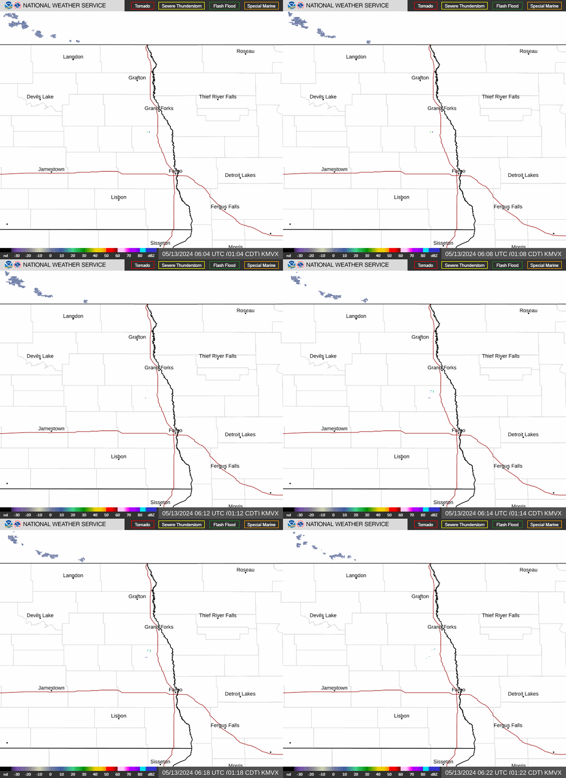
Radar — KMVX
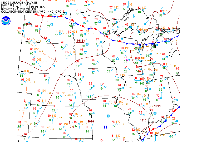
Surface Analysis — Central U.S. (North)
Satellite

Log in to save this location.
- medium chance for soaking rainfall far southeast north dakota into west-central minnesota. Chance for 1 inch or more of rain around 30 percent.
Issued at 343 PM CDT thu sep 17 2026
...synopsis...
Weak shortwave trough moving through zonal flow aloft will bring medium chance for rain friday, mainly near the sd border/tri- state area into west-central mn. There is also a low chance for showers in northeast nd into far northern red river valley friday. More details on amounts can be found below.
Thereafter into the weekend and next week, upper flow becomes relatively week amid upper ridging into central canada. Ensemble guidance also suggests a weak, disorganized shortwave upper trough gradually sliding west to east out of the northern rockies through the central plains into mid-mississippi valley. This present a weak rex-block-type pattern late weekend into early/mid next week. This trend in guidance has decreased rain chances for our area this weekend, ultimately offering a now mostly dry weekend forecast. This will also keep temperatures near average through at least mid next week.
Into mid/late next week, guidance suggests either continued weak upper ridging or zonal flow aloft. Both scenarios suggest temperatures trending near average to slightly above average; the former would favor mostly dry conditions, with the later scenario bringing at least a slight uptick in rain chances with the possibility of progressive shortwave troughs moving through the region out of the pacific northwest.
...rain chances friday...
Guidance continues to keep the lion's share of soaking rainfall south of our area friday. There is still a subset of guidance that eeks the northern fringes of moderate to briefly heavy rainfall into locations near the sd border/tri-state area into west-central mn. Should this occur, rainfall totals may reach into the 0.8-1.5 inch range. There is around a 30% chance for this to occur. Otherwise, most likely amounts are expected to remain less than 0.5 inches. The chance for 3 or more inches remains very low/nill at this time.
Timing for rainfall in southeast nd into west-central mn begins friday morning around sunrise, lingering through early to mid afternoon.
A separate area of showers are expected to develop in portions of north-central nd into sk/mb friday. This could spread into northeast nd and the far northern red river valley. Rain amounts will be light, only up to a few hundredths, if this occurs.
Issued at 1246 PM CDT thu sep 17 2026
Main impact to tafs will be lowered ceilings in the IFR to MVFR categories for sites like kbji, ktvf, and kfar. These ceilings are forecast to remain in place (or bounce between sct and bkn) until starting to diminish late afternoon into early evening. There is a medium chance for these ceilings to spread over kgfk, although confidence is not high enough to include within its taf at this time.
Winds are forecast to be under 10KT through at least 12Z, increasing out of the south-southeast 10-15KT friday morning.
Fog potential tonight:
While overall chance for fog over much of the area is currently low, there is a medium chance for fog to develop in portions of west-central mn between 05Z-12Z. This chance encompasses kbji, although with coverage of fog expected to be more patchy than widespread, confidence is low in its potential for impacts at kbji - thus, did not include br/fg at this time.
Elsewhere, the chance for fog is very low with expectation of a light breeze developing.