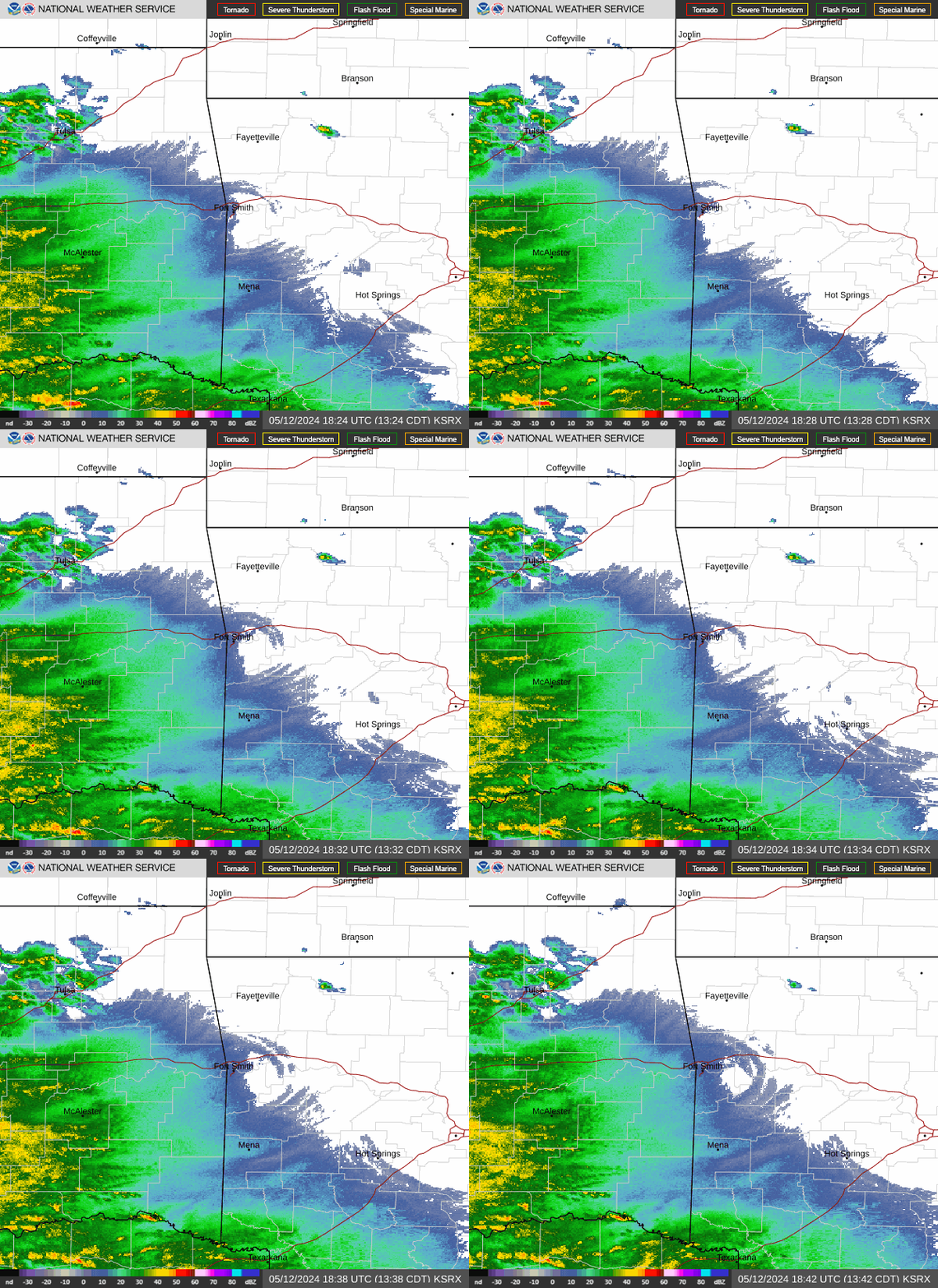
Radar — KSRX
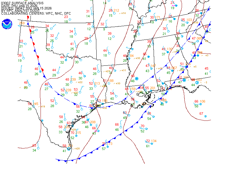
Surface Analysis — Central U.S. (South)
Satellite

Log in to save this location.
Nearest monitored road: North College Avenue (Primary)
Updated at 1115 PM CDT sat oct 31 2026
- reduced visibilities in patchy to areas of fog and/or occasional light rain showers areawide through mid morning sunday. - high shower and thunderstorm chances monday into tuesday, with potential for severe weather and locally heavy rain.
- temperatures closer to seasonal average mid to late week behind early week system.
(through sunday) issued at 1115 PM CDT sat oct 31 2026
Spotty light showers have redeveloped across parts of northeast and east central oklahoma in response to a subtle disturbance moving through the area in the northwesterly flow aloft behind the main upper low along the missouri/arkansas border late this evening. These showers should not amount to much rainfall wise and are expected to shift to the east with time toward daybreak sunday morning. In addition to these showers, light fog is ongoing across much of eastern oklahoma, with most of the short term guidance showing visibilities reducing further early sunday morning. Given the continued low cloudiness, do not expect widespread dense fog despite some of the more pessimistic guidance showing some potential. Href probabilities of visibilities under a quarter mile are on the lower side, generally less than 20 percent in much of the area. Will keep a mention of patchy to areas of fog in the forecast through mid morning sunday, with improved conditions thereafter. Above normal afternoon temperatures remain expected on sunday, but with at least some cloudiness likely to stick around, not convinced that temperatures will get as warm as advertised by the nbm. The high temperature initialization has been nudged down a couple of degrees using the short-term blend.
(sunday night through saturday) issued at 1115 PM CDT sat oct 31 2026
The big story for this forecast occurs in the monday to tuesday time frame with a potent storm system and attendant cold front set to approach and move through the region, bringing severe weather and heavy rain potential. A strong low level jet ahead of the system will begin to nudge into portions of eastern oklahoma around daybreak monday, with the overnight convection associated with it expected to remain west of the area until the daylight hours. These showers and storms should move into areas west of highway 75 during the morning hours, with a general decreasing trend toward midday. Wind speeds and gusts will increase during the morning and into the afternoon hours, with southerly gusts around 40 MPH likely to occur. Href probabilities of 40 MPH gusts are fairly high in parts of northeast oklahoma by late morning monday. A wind advisory may be necessary for parts of the area during the day monday. There remains some uncertainty on how early monday afternoon and evening thunderstorms will develop/move into eastern oklahoma in association with the main system and cold front. In general, the continued thought is that the nbm pops are too high, too early in the day, with late afternoon into early evening the more favored for arrival into the area and lingering across the eastern fringes of the area past daybreak tuesday morning. The environment ahead of the front monday afternoon into monday night continues to be most supportive of wind threats severe weather-wise, including tornadoes, with the overall instability low enough to decrease the overall large hail threat. Precipitable water values forecast to be near seasonal maxes will support a locally heavy rain and localized flash flooding threat, as well.
The front will move eastward through the region by late tuesday afternoon, with much cooler and drier air moving in for the middle of the week. Another fast-moving disturbance looks to move through the region thursday that may bring additional light rain showers to the area. Uncertainty remains high overall headed into next weekend, although models continue to hint at another system that may impact the region for the next weekend or possibly into the early part of the following week.
(00Z tafs) issued at 627 PM CDT sat oct 31 2026
Light to moderate showers continue to shift north and east across the area, impacting most taf sites at the moment. Surface obs around the area show a mixed bag of VFR, MVFR, and IFR conditions. As rain gradually exits the forecast area late this evening, patchy fog and drizzle are forecast to develop across the area. Thus, flight conditions are forecast to deteriorate further and trend more towards IFR/LIFR through the overnight period tonight with patchy fog and drizzle developing across the area. Ceilings and visibilities will slowly improve mid-late sunday morning and through the afternoon, becoming mostly VFR by mid-late afternoon.
Mejia
Tul 60 74 62 78 / 20 0 0 60 fsm 60 76 61 80 / 60 0 0 10 mlc 60 76 62 81 / 20 0 0 30 bvo 58 72 59 76 / 30 10 10 70 fyv 57 73 57 75 / 70 10 0 10 byv 59 71 61 74 / 80 10 10 10 mko 57 74 61 80 / 20 0 0 30 mio 58 72 60 77 / 50 10 10 30 f10 57 75 62 80 / 20 10 0 40 hhw 61 78 62 82 / 10 0 10 10