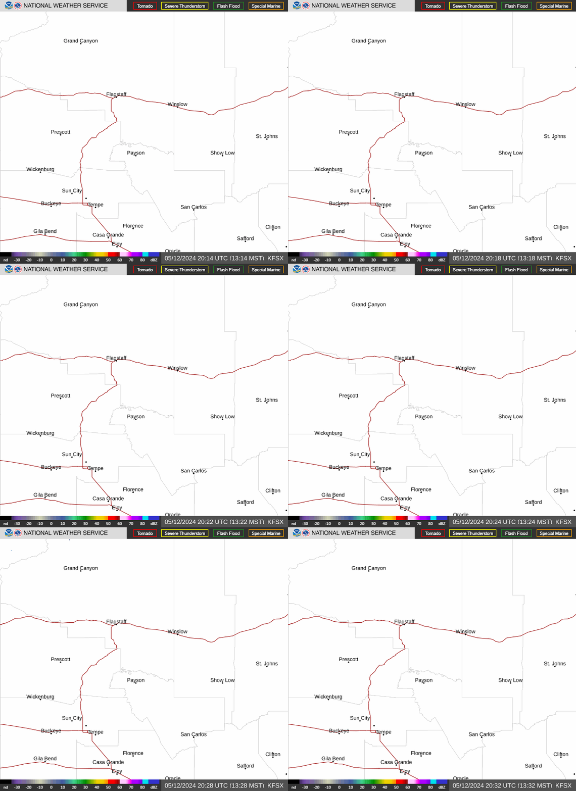
Radar — KFSX
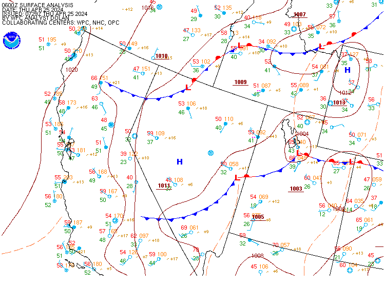
Surface Analysis — Western U.S. (Central)
Satellite

Log in to save this location.
Nearest monitored road: US-180 (Primary)
A flash flood watch remains in effect until tomorrow morning for all of northern az, with several rounds of showers and thunderstorms expected. Activity will decrease through the end of the week and over the weekend. Seasonable temperatures and breezy southwest winds are also expected.
The forecast calls for a very active 24 hour period, with several rounds of showers and thunderstorms. The primary hazard is flash flooding, and there is a flood watch in effect until 5 AM MST thursday.
The atmosphere is currently very moist for mid september, with PWAT values 1.0-1.2'' (>95th percentile) across the region. The main driver of activity today will be a disturbance currently located over northern mexico. This will propagate northward across arizona through tonight, and act to enhance the southerly moisture surge plus provide additional lift. Activity continues to ramp up, most prominently across yavapai and northern gila counties. Individual storm cells are moving quick, however storms have exhibited training bringing heavy localized accumulations. Numerous to widespread showers and thunderstorms will continue through the evening for most of northern az. The main axis of the wave looks to propagate through our area during the late evening/overnight, bringing continued nocturnal precipitation chances to our area. Flash flooding is the primary hazard through tomorrow morning, but some isolated severe storms cannot be ruled out given enhanced SHEAR from a large pacific trough over northern ca.
The threat of heavy rainfall declines late tomorrow morning as the wave departs and drier air begins to move in from the west. There will still be some flash flood threat especially towards far eastern and northeastern az where better moisture lingers. Overall the forecast calls for isolated to scattered showers and thunderstorms with the best coverage across eastern az. The drying trend continues through the weekend, with much lower precipitation chances on saturday and sunday. Another pacific disturbance potentially approaches northern az early next week, and precipitation chances trend upwards on tuesday-wednesday. However confidence is low on this period, stay tuned for further updates.
Wednesday 16/18Z through thursday 17/18Z...some VFR, but expect widespread MVFR with the numerous showers/storms in the area from 18Z-06Z. After 06Z expect widespread MVFR and even some IFR in the mountain locations with lower cloud decks expected during the overnight hours. Numerous showers and thunderstorms are developing right now and will be widespread area wide today and tonight. Shower and thunderstorm coverage start dropping west to east between 12Z and 18Z. Winds S-SW 10-20KTS daytime, light and variable overnight. Gusty and erratic winds near and ahead of storms.
Outlook...thursday 17/18Z through saturday 19/18Z...VFR conditions with MVFR under heavier shower and thunderstorms. Thunderstorm chances continue thursday, especially eastern third of the state. A chance of thunderstorms on friday as well, but not as widespread as the last couple days. Winds S-SW 10-20KTS daytime, light and variable or terrain driven overnight. Gusty and erratic winds near thunderstorms.
Thursday and friday...widespread showers and thunderstorms are forecast thursday morning, becoming more widely scattered and focused to the eastern part of the state by thursday afternoon. There is an elevated risk of flash flooding, especially over recent burn scars continuing through thursday evening. A few isolated showers and thunderstorms are expected over far eastern arizona friday with the rest of the region drying out. Expect near to below average temperatures. Winds S-SW 10-15 MPH gusting to 25 MPH. Expect gusty and erratic winds in/near storms.
Saturday through monday...things dry out this weekend with only the white mountains seeing any chance of activity on saturday. Temperatures will remain near average. Winds S-SW 5-15 MPH during the daytime hours, becoming light and variable overnight.