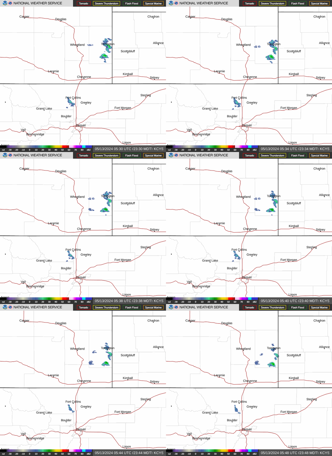
Radar — KCYS
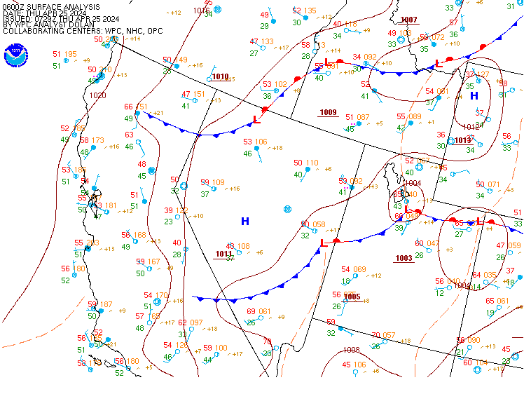
Surface Analysis — Western U.S. (Central)
Satellite

Log in to save this location.
- snow likely (> 80% chance) for the mountains through most of monday. Snow level falls to 9,000 to 9,500 feet monday morning and down to 8,000 feet monday afternoon.
- mountain roads will become slippery in spots above 8,500 feet, especially through mountain passes.
- scattered to numerous rain showers and cooler temperatures for the plains on monday. A few snowflakes possible for the palmer divide on monday night.
- another chance for some rain and snow for the mountains on wednesday bringing light precipitation amounts.
Issued at 1122 PM MST sun nov 1 2026
The next storm system has started to affect our area over the last few hours with some light rain/snow showers across the high country and light rain showers for the majority of the plains. Some light rain/snow showers continue at this hour for the medicine bow range and light rain showers for the far northeastern plains. With the saturated grounds from the sunday evening rain, fog is possible once again. Favored locations look to be northern colorado and possibly extending into the northern metro and east to dia. Have held off on any highlights given the uncertainty with how widespread any fog would be, but an advisory may be needed if confidence increases overnight. Any fog would quickly lift as the cold front moves through on monday morning.
The trough that will affect our weather over the next 24-36 hours is currently centered over the great basin and should quickly push through colorado by late monday. Good moisture continues to advect into our area with southwest flow in the mid and upper levels. We expect coverage of precipitation to increase by monday morning through the early afternoon as lift increases and the cold front pushes through from north to south. The cold front moves through the metro around 6-9AM and looks to clear our area by about 2PM monday. In its wake, afternoon temperatures should struggle to make it out of the upper 40S for much of the plains given the clouds in place and the chance for showers. Some scattered showers could linger on the plains through tuesday morning with some upslope continuing.
QPF is very similar to the last forecast package. Ensemble guidance continues to coalesce on 0.1-0.4" rainfall for the denver metro with some locally higher amounts possible mainly for the southeast portions of the metro. Similar rainfall totals look possible for most of the plains with some signal that western washington county and adjacent areas could see the most rainfall. This is likely due to a rather deep upslope component (northerly winds) from the surface up to 500 mb behind the cold front. For the northern high country, many areas should see 0.50-0.75" QPF with some higher amounts possible. Lesser amounts are expected for the rest of the high country.
As for snow, snow showers will start to increase in coverage over the next few hours for the high country. Colder air will continue to filter in aloft quickly lowering snow levels. Snow levels are currently around 10,500 feet, but quickly drop through the overnight to around 9,250 feet by monday morning. Snow levels will continue to drop to near 7,500-8,000 feet or even a bit lower by monday evening. The palmer divide still has a chance for some snowflakes to mix in on monday evening as precipitation chances start to wind down. The winter weather advisory goes into effect early this morning and lasts through late monday night. The forecast remains on track with 3-8 inches of snowfall expected in general. As previously noted, northerly flow is expected as the trough pushes through. In this flow pattern, the northern mountains continue to look most favored in our area for the highest snowfall totals with some totals greater than 9 inches possible, particularly at the highest elevations. Desi probabilities highlight this potential well with a 50% chance or greater of snowfall totals exceeding 6 inches for the park range, northern gore range, and medicine bow range. Note that higher totals are still possible for areas along the front range mountains including summit county and rmnp, but much less likely.
Monday and even tuesday will also feature some breezy conditions for the plains. Desi probabilities show at least a 40% chance for wind gusts exceeding 55 MPH on monday afternoon and evening across our plains. Given the lack of subsidence and momentum transfer, we have held off on any wind highlights. Most locations on the plains should see gusts of 35-55 MPH with isolated locations having the potential for gusts of 55-60 MPH monday afternoon, evening, and into early tuesday. Wind gusts could still reach 40-50 MPH for the far eastern plains on tuesday afternoon.
After the passage of the trough late monday into early tuesday, ridging quickly looks to take its place. Tuesday will be a warmer day with high temperatures near average for this time of year- in the upper 50S. High temperatures should stay near average for the rest of the week. Another low looks to track through our area on wednesday. The majority of models bring the chance for another round of light snow showers for the high country and possibly some rain showers for the plains. Any accumulation continues to look rather unimpressive with this system at this time. Thursday and friday should be dry with westerly flow aloft and near-normal temperatures.
By the weekend, there could be another cold front cooling temperatures down as hinted in the ECMWF ai ensembles. Other ensemble guidance keeps high temperatures in the upper 50S and possibly warming into the low 60S for the plains on the back half of the weekend. A trough could graze US to the east putting US in the right exit region of the jet- where subsidence is favored. Therefore, regardless of the temperatures, the weekend is trending drier.
Issued at 1020 PM MST sun nov 1 2026
Main concern overnight will be potential for dense fog between 10Z and 14Z due before a cold front arrives. Have included a tempo group for visibility below 1/2 mile and ceilings down to 200 feet at all sites. Winds before frontal passage will be light and variable.
By 14Z or 15Z, a cold front will move across which should allow for a rapid rise in visibility and ceilings behind it as gusty north winds develop. Wind gusts from 30 to 35 MPH will occur behind the front. Meanwhile, should see showers increase across the area as well after 15Z. Ceilings will be in the 4500-5000 ft range but may see ceilings drop down to 2000-2500 ft between 16Z and 20Z when heavier rain may occur with visibility of 3-5 miles.
After 20Z, shower activity will decrease from north to south with most activity ending in the 23Z to 01Z time period. Ceilings will remain between 4500-5000 ft. Gusty north winds will continue at apa and dia into the early evening hours as well.