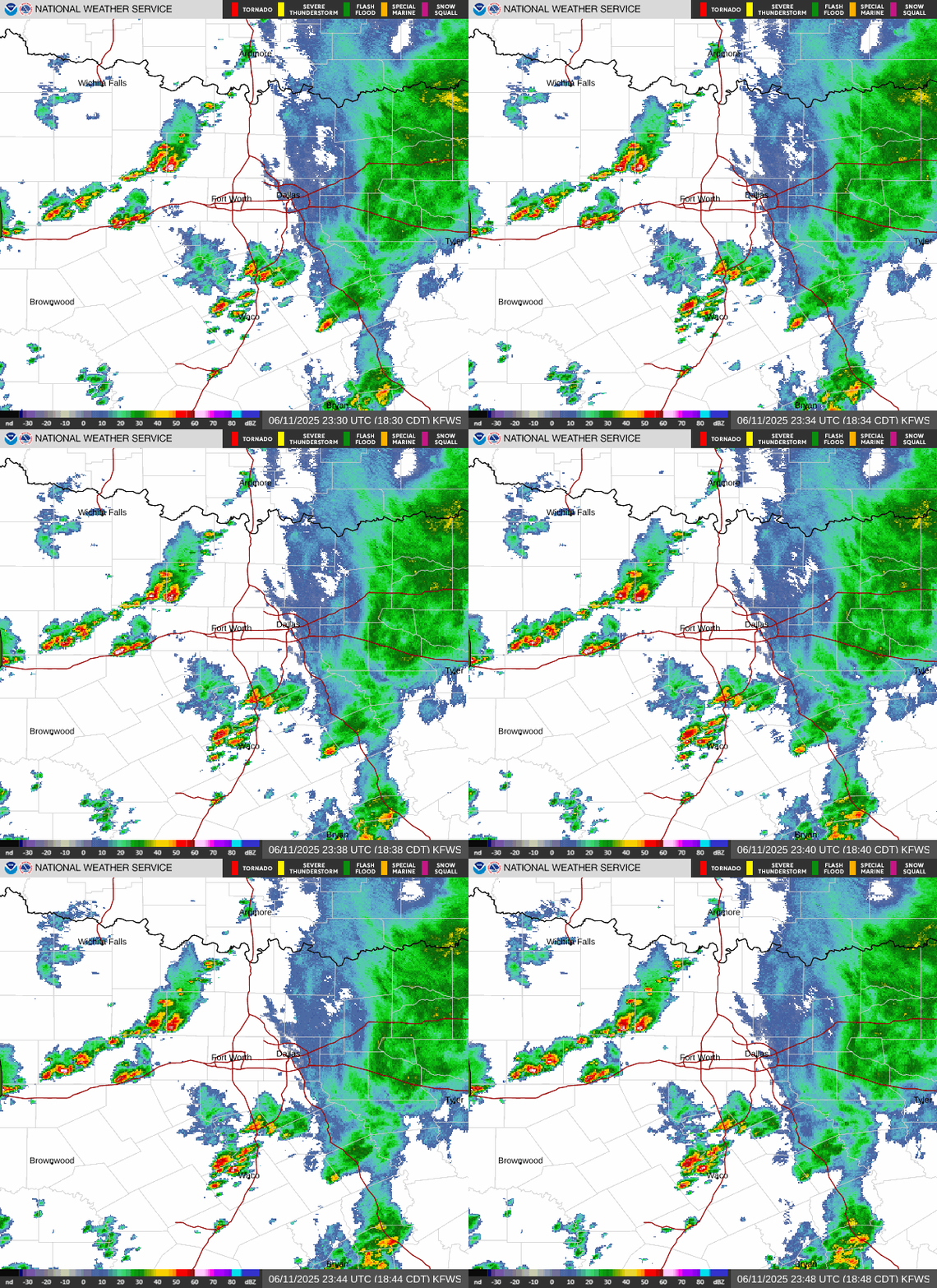
Radar — KFWS
Surface Analysis — Central U.S. (South)

Satellite

Log in to save this location.
Nearest monitored road: [Near South Freeway] (Primary)
- a heat advisory is in effect for portions of north and central texas this afternoon. We do not plan to extend it into tomorrow at this time.
- an elevated fire threat will exist primarily west of i-35 today.
- slightly cooler weather and low rain chances return late sunday into early next week.
(this afternoon through thursday) issued at 123 PM CDT wed sep 16 2026
This afternoon/evening should be largely wash, rise, repeat of the past couple days as our area remains under large-scale subsidence between areas of lift to the west and east. The area of lift to the west should stay west and not impact the local weather much in the short term, however subtle changes are expected tomorrow as a faint moisture plume to the east starts to work into our area. Some agitated cumulus over far east texas may induce a few showers this afternoon, but the chance of any thunderstorms or meaningful precip is 10% or less. The fire threat is still slightly elevated this afternoon, mainly along and west of US-281, but lighter wind speeds should preclude significant resistance to control of any fire starts.
Slightly better moisture should move into our forecast area from the east tonight and tomorrow as a weak low-level trough moves over the texas coastal plains and the flow aloft becomes more easterly. The main impact of this will be slightly lower temperatures, but still hot in the upper 90S to low 100S, and higher coverage of the afternoon cumulus field. We should also see isolated showers develop across the eastern half of our forecast area in the afternoon, mainly near any localized areas of low- level confluence or subtle mid-level perturbations. Most precip tomorrow should be shallow as updrafts remain sandwiched between the deeply mixed boundary layer (lcls/cloud bases around 7,000 ft) and strong subsidence aloft based around 12-15,000 ft). Despite all of this attention on the precip, pops are only between 10-20% with even less chance of a thunderstorm (<10%)...welcome to a forecast discussion in the middle of a worsening drought.
We are planning to let the existing heat advisory expire this evening without extending it into tomorrow. Heat index values this afternoon are forecast to peak around 104-106. Temperatures being a couple degrees lower tomorrow should offset the humidity enough to keep heat index values right around or below our heat advisory criteria. We should still see a few locations peak around 105 for a couple hours, but we did not believe the isolated nature of locations meeting advisory criteria warranted extending the advisory with this forecast update. The evening and overnight shifts will continue to assess the latest forecast data, and may still issue an advisory if the conditions warrant.
(thursday night through next tuesday) issued at 123 PM CDT wed sep 16 2026
Near or slightly above triple digit heat should continue through the weekend as the mid-level high remains planted over the region. The moisture plume discussed in the short-term should get shunted west and absorbed into the western periphery of the mid-level ridge by friday. Expect humidity to trend down as we close out the work week, likely resulting in an elevated fire threat friday and saturday afternoon. Saturday appears to be most concerning for fire weather at this point as wind speeds increase ahead of an ejecting low pressure system in the central plains.
The mid-level ridge should finally weaken late this weekend into early next week, allowing a weak cold front to advance toward the region. There is still quite a bit of uncertainty regarding how far south the front will get, but it does not look like we will have a massive cool down even if the front does work into north texas. Instead of widespread triple digit heat, highs should top out in mid 90S early next week. It also looks like we'll have some decent rain chances with scattered showers/storms late sunday and monday as the front and some weak mid-level energy encroaches on the area. Unfortunately, the medium and extended-range ensemble guidance indicates mid-level height rises making a comeback in the middle to late parts of next week.
(18Z tafs) issued at 123 PM CDT wed sep 16 2026
VFR and south flow should prevail through the valid taf period. The winds will undergo the typical summer-time diurnal trend with southeasterly winds in the afternoon/evening that veer to become out of the southwest in the early morning hours, then back to the southeast in the afternoon. The winds should be a little more southeasterly tomorrow afternoon thanks to a moisture plume and surface trough moving into the texas coastal plains. This will bring a more dense cu field in the afternoon and perhaps a few showers as well. However, the coverage of precip tomorrow is too low to warrant including any precip or additional taf lines for this attm.
Spotter activation is not expected at this time.
Dallas-ft. Worth 101 80 99 79 / 0 0 10 10 waco 100 77 99 75 / 0 0 10 10 paris 99 76 99 75 / 10 0 10 10 denton 100 77 99 76 / 0 0 10 10 mckinney 100 76 99 75 / 10 0 10 10 dallas 101 81 100 79 / 0 0 10 10 terrell 101 77 100 75 / 10 0 10 10 corsicana 99 77 98 75 / 10 0 10 10 temple 100 76 97 74 / 0 0 20 10 mineral wells 101 74 100 73 / 0 0 10 10