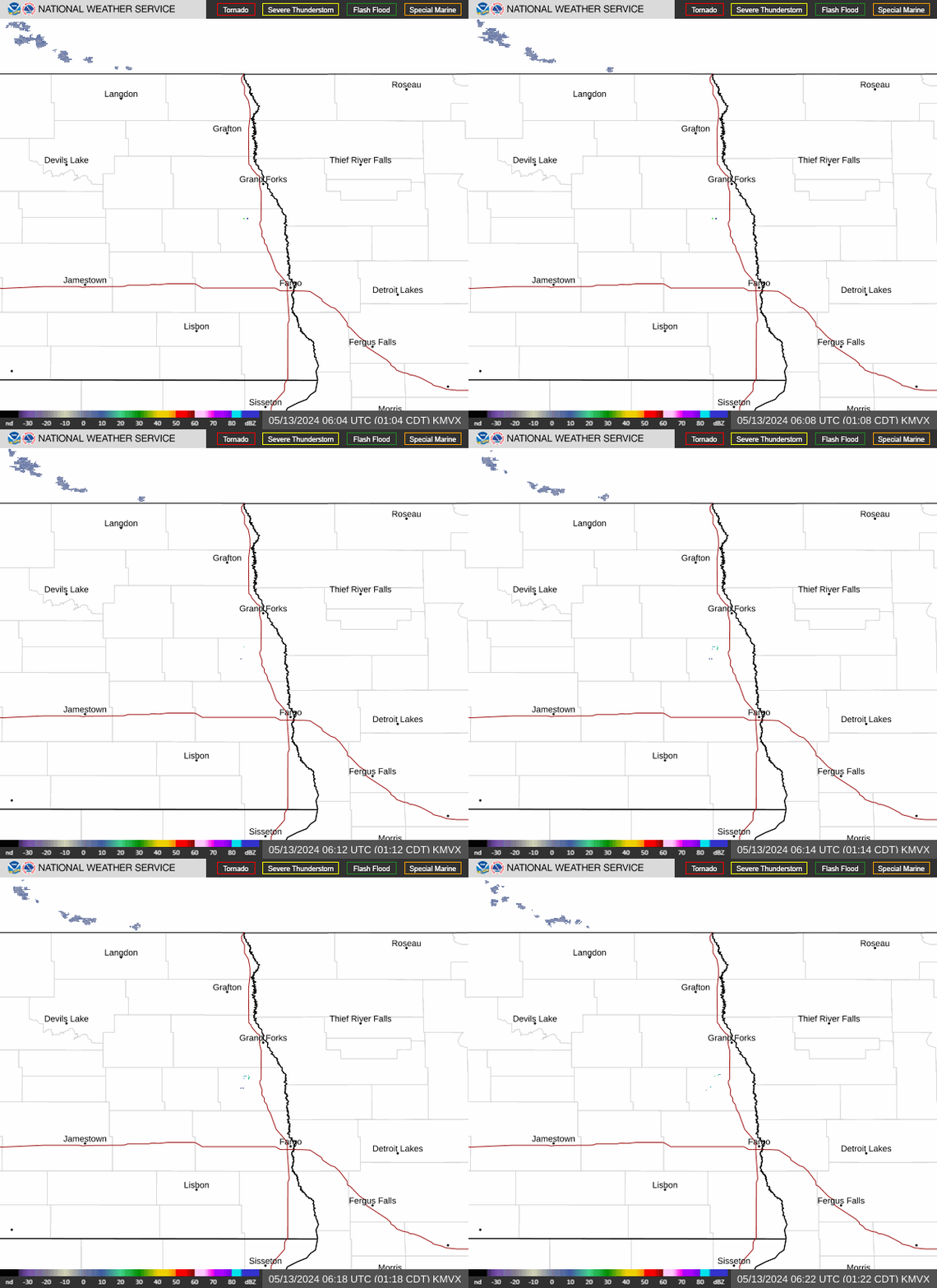
Radar — KMVX
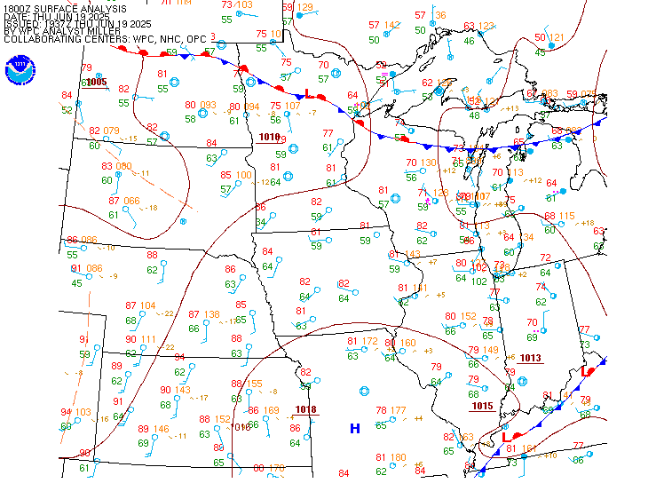
Surface Analysis — Central U.S. (North)
Satellite

Log in to save this location.
Nearest monitored road: North 5th Street (Primary)
- widespread showers and weak thunderstorms this afternoon into early evening. Additional chances for rain friday into the weekend.
- dense fog may develop in portions of eastern north dakota and northern red river valley tonight into early thursday.
Issued at 337 PM CDT wed sep 16 2026
...synopsis...
Upper pattern this week can be characterized as zonal flow aloft with progressive, weak shortwave troughs traversing through the flow. This will offer opportunities for periods of rain lasting into the weekend. This will also keep temperatures near average through at least mid next week.
A weak cold front moves into our area from canada tonight into thursday morning. This will drive tonight's fog potential within eastern nd and the northern red river valley.
...rain chances ahead...
Zonal flow aloft with entrance region of an upper jet is being observed over the northern plains into upper midwest. This is allowing a weak and progressive shortwave trough/upper ascent to migrate west to east across our area this afternoon into evening. While synoptic forcing is expected to remain weak and moisture return meager, a slight increase in instability is accompanying this forcing/moisture. This will keep the possibility for weak thunderstorms this afternoon into early evening in the southern red river valley into west-central mn. Very little rainfall amounts are expected with this, despite the convective behavior.
On friday, a rather robust banded-rain event is expected with strong forcing from frontogenesis fed by rich moisture and instability. Current guidance keeps majority of this rainfall (in excess of 3 inches) south of our area, within eastern sd into southern/central mn.
However, given the majority of this forcing driven by mesoscale processes like fgen and ripe instability, confidence in location is not great. Vast majority of guidance keeps the lion's share of this rainfall south of our area, however a small cluster of guidance does allow focus of forcing for ascent and moisture northward toward the sd border into west-central mn friday. Thus, there remains potential for this banded heavy rainfall to eek into locations near the sd border into west- central mn. Should this occur, aforementioned locations are liable to see 1 inch of rainfall. Even with a further north evolution, the chance for 3 inches or more is very low.
Into this weekend - what was once looking like a more consolidated shortwave trough is progged to translate across our region looks more disorganized and weak. Thus, a lessening trend is being noticed in the forecast regarding the chance for widespread rainfall this weekend. There is still a chance for rain, just not nearly as widespread as previously forecast.
...fog potential tonight into early thursday...
Confidence is medium in the occurrence of fog somewhere within eastern nd, although confidence greatly diminishes where this occur with more precision. Driving the fog production is a weak cold front moving into nd from canada, bringing with it ground- scraping low clouds behind the front. Confidence remains low in more precise locations, with uncertainty mainly stemming from questions on influence of mid level cloud cover.
Issued at 337 PM CDT wed sep 16 2026
While there is light rain within the region this afternoon into early evening, ceilings are forecast to remain VFR along with no impacts from reduced visibility.
There remains a low chance for embedded lightning this afternoon into early evening in southeast nd into west-central mn, although confidence was not high enough to include into tafs. This is subject to change in subsequent tafs/amds once confidence in its potential increases enough, mainly for kfar. Window for weak thunderstorms/ isolated lightning activity is 22Z-04Z.
Fog potential tonight:
Confidence is medium in the occurrence of fog somewhere within eastern nd, although confidence greatly diminishes where this occur with more precision. Didn't include fg or br in tafs like kdvl or kgfk, but is subject to change in subsequent tafs/amds once confidence in its potential increases enough. General window for fog is 08Z-16Z.