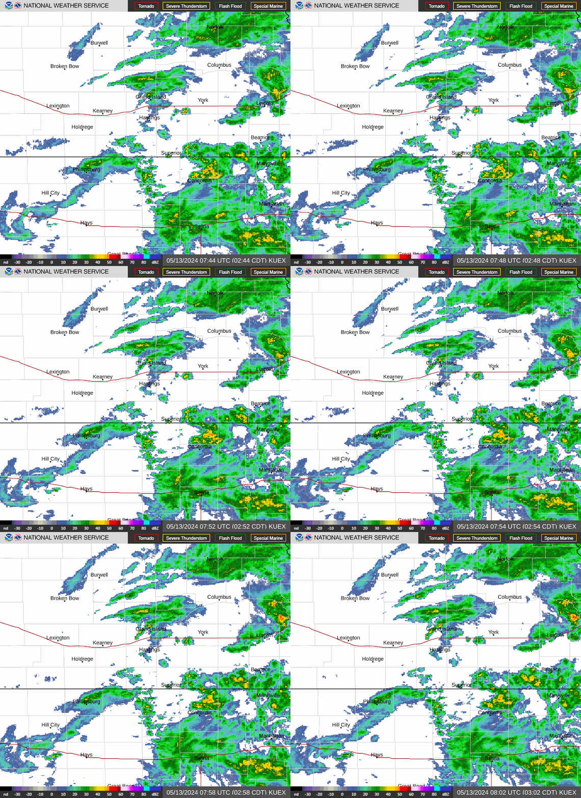
Radar — KUEX
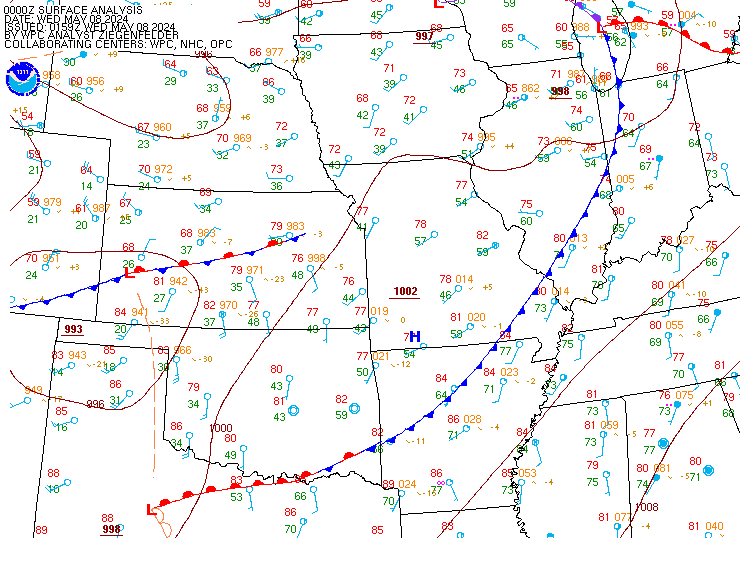
Surface Analysis — Central U.S. (Central)
Satellite

Log in to save this location.
- rainy conditions will continue through tuesday with the highest rain amounts monday and tuesday.
- total rainfall amounts are only expected to range from around a quarter of an inch to just over an inch.
- high temperatures will mostly be in the 50S and 60S, except on monday with highs in the 60S and 70S.
- low temperatures will range from the 30S to 60S with temperatures in the 30S appearing beginning tuesday night.
Issued at 221 PM CDT sat oct 31 2026
An upper level low pressure is over kansas and nebraska. This has resulted in increased upper lift across the region with rain showers. Winds across south central and central nebraska and north central kansas are mostly out of the south to southeast at around 10 to 15 MPH with gusts up to around 20 MPH. High temperatures today will range from the mid 50S to mid 60S. Rain showers are expected to decrease in coverage tonight with low temperatures generally ranging from the upper 40S to mid 50S. Light rain showers and/or drizzle are expected to continue into sunday with south to southeast winds continuing across the area. Temperatures on sunday will be a little warmer than today with a strengthening surface trough to the west. Rain showers with some thunderstorms will increase across the area sunday night as an upper trough to the west moves closer to the region. Low temperatures sunday night will be warmer than the previous night (lows mainly in the mid 50S to low 60S) as the surface trough to the west expands across the area.
The upper trough will move over the central plains on monday with a cold front moving into the area from the west and northwest. While there is some uncertainty with high temperatures on monday due to the timing of the front, expect highs to generally range from the mid 60S to mid/upper 70S. Showers and thunderstorms will continue across the area on monday. Storm chances will increase along the front late monday afternoon into monday night. Low temperatures monday night are expected to range from the low 40S to low 50S. Rain chances (up to around 50% chance) continue on tuesday with the upper trough/low over the area. There are some model differences/uncertainty with high temperatures on tuesday due to uncertainty in the strength of the cooler airmass but expect highs to mostly be in the 50S. Mostly dry conditions are expected wednesday through friday with high temperatures generally in the 50S and 60S. Low temperatures tuesday night, wednesday night, thursday night, and friday night are expected to be in the 30S and 40S.
Issued at 636 PM CDT sat oct 31 2026
For kgri/kear airports:
Low cloud bases will be the primarily aviation concern across the period, although, periods of light rain or fog can't be ruled out tonight. Though cloud bases atop of the 0Z hour remain just outside of MVFR conditions (4,000ft), a scattered group of clouds resting around 2,000ft may soon fill in to push ceilings back to MVFR this evening. Out west (expected downstream conditions), MVFR and IFR cloud bases consume most of western nebraska. Tonight, ceilings will be likely to fall S low as 300-600ft into LIFR criteria (best potential between 9-16Z). During the morning and afternoon hours sunday, ceiling will gradually rise back to IFR and later MVFR classifications. Overall, kear should see condition deteriorate faster than kgri as well as have a slower daytime recovery.
Outside of the sub-VFR ceilings, visibility reductions from fog may be possible between mainly 8-16Z. Though an occasional light rain shower may briefly pass overtop of either airport, impacts are expected to be fairly minor and brief. South to southeasterly winds will prevail with speeds under 10KTS overnight. Peak wind gusts as high as 20-25KTS will be possible mainly between 19-0Z.