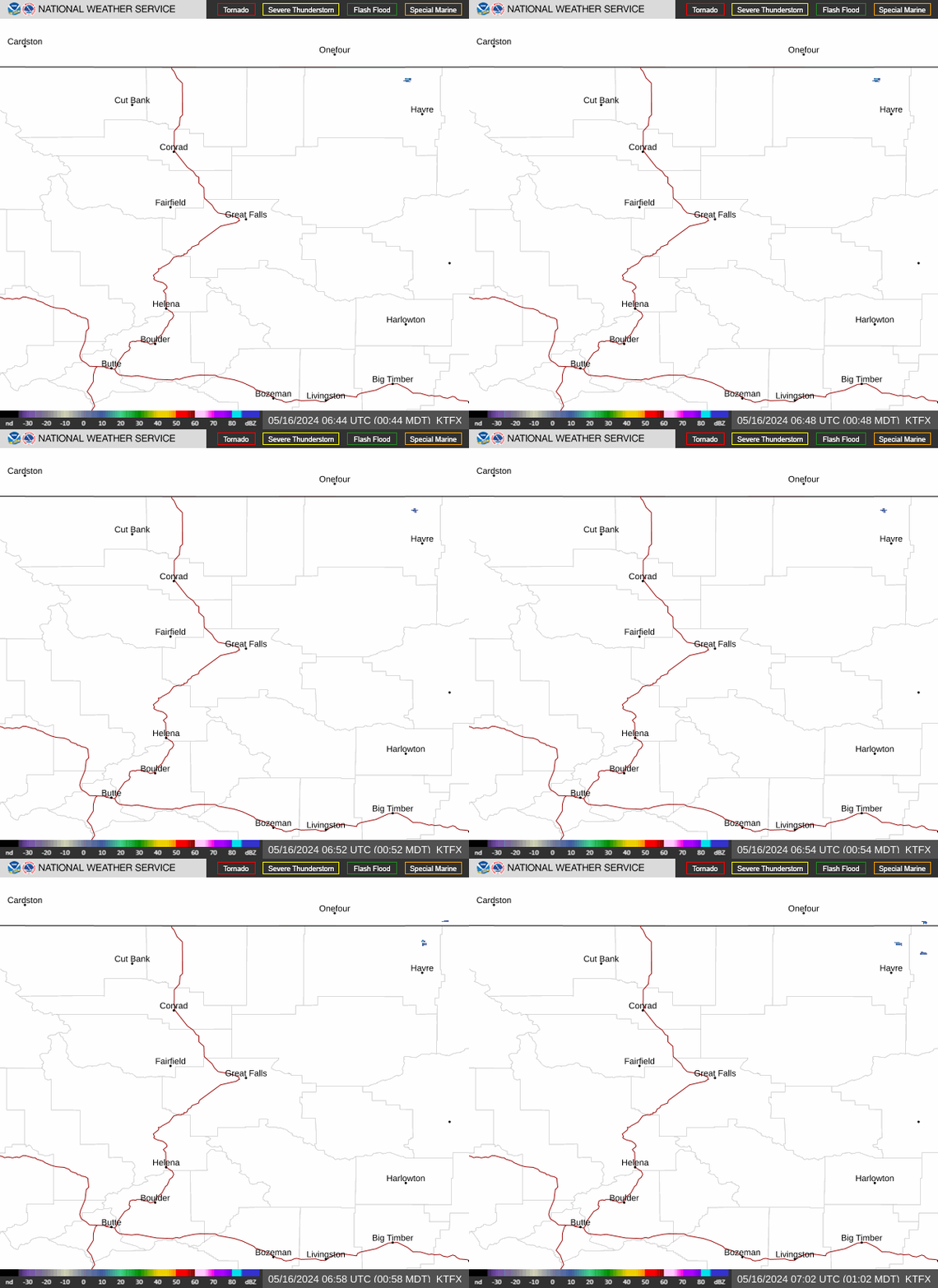
Radar — KTFX
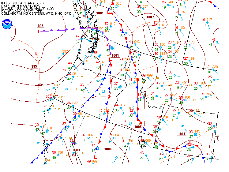
Surface Analysis — Western U.S. (North)
Satellite

Log in to save this location.
- showers/thunderstorms arrive in SW mt late thursday morning/early afternoon, then spread northward into central mt during the evening.
- there is the potential for strong storms thursday through saturday.
- shift to drier and milder conditions beginning sunday.
- meteorological overview:
The next upper level trough moves into the area out of the west on thursday. Due to the SW flow over central mt, there will be a resulting unstable airmass that develops. As such, expect rounds of showers/thunderstorms to begin late thursday morning/early afternoon and continue through saturday, mainly impacting southwest/central mt. Additionally, there is the potential for these storms to be strong.
As an upper level ridge develops over the region on sunday, expect a shift towards mild and drier conditions. The ridge looks to remain in place through at least monday.
For tuesday and wednesday, models continue to struggle on finding a common solution. - esh
- forecast confidence & scenarios:
The main concern for the thunderstorms thu night and friday will be how strong will the thunderstorms be. Some storms could produce strong wind gusts and hail. Instability of CAPE could exceed 1500 j/kg around helena on friday. Additionally, the airmass will remain unstable thu night for thunderstorms to likely continue much of thursday night.
For next tue...both the GFS/ec models continue to have opposite solutions, with one model warm/dry...the other model cold/wet. Thus confidence is low at this time for next tue. Brusda
16/18Z taf period
Generally mild and dry conditions expected through the rest of today. Any lingering low stratus in central and north central mt will finish clearing by early afternoon. Aside from the potential for a few showers to pop-up in south central mt between 07Z-11Z, mild and dry conditions are expected to continue through tonight. Showers and lower clouds bases will move in beginning late thursday morning/early afternoon, mainly impacting SW mt. Additionally, there will be the potential for thunderstorms in SW mt thursday afternoon/evening. -esh
Gtf 43 74 50 73 / 0 0 30 10 ctb 41 69 47 69 / 0 0 10 10 hln 45 79 50 75 / 0 10 40 50 bzn 42 78 48 74 / 0 40 30 80 wys 38 72 40 67 / 10 70 50 90 dln 43 78 47 71 / 20 40 40 90 hvr 44 78 49 76 / 0 0 10 10 lwt 43 79 50 74 / 0 0 10 40