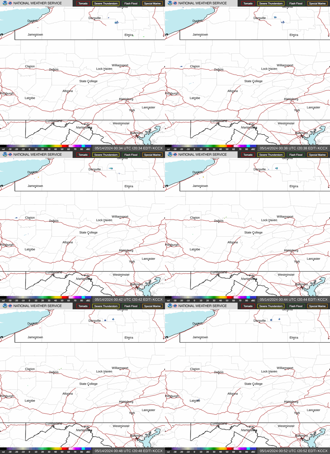
Radar — KCCX
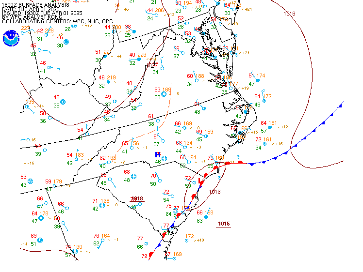
Surface Analysis — Eastern U.S. (Central)
Satellite

Log in to save this location.
Nearest monitored road: North 7th Street (Primary)
* minor adjustments to precip probs (% chance) and dewpoints through thursday
1) warmer and more humid conditions promote increasing odds for rain through thursday
Key message 1: warmer and more humid conditions promote increasing odds for rain through thursday
Sfc dewpoints are up +15 to +25 degrees since early tuesday morning, marking the return to warmer and more humid sensible weather conditions across cpa. Ongoing heating/destabilization of very muggy, high dewpoint air (td 65-70f) across west- central pa will lead to moderate CAPE values by mid afternoon. Widely scattered thunderstorm development is expected, in a regime of relatively weak westerly flow aloft and poor mid level lapse rates. PWAT values approaching 2 inches could favor a few locally heavy downpours. Continued low level waa and slowly declining mucape suggest scattered showers and storms could persist overnight into early thursday morning with href pmm signal focusing max pops over the western alleghenies.
A subtropical high aloft will persist over the southern plains and lower ms valley through tomorrow. Around the periphery of the high and in response to a shortwave trough crossing on/qc, a surface cold front will move slowly south/southeastward from the lower great lakes across pennsylvania and adjacent states. This baroclinic/frontal zone will provide a trigger for showers and a few thunderstorm clusters through thursday evening. The threat for severe storms is low enough that SPC has not introduced probabilities with the d2 update. WPC will maintain a level 1 excessive rain risk over the west-cetentral alleghenies given high pwats and above normal rainfall over the past 7-10 days. While it's very likely that most of central pa picks up some rainfall by thursday night, we do not anticipate a washout.
Another taste of fall is on the way for the end of the week with noticeably cooler and much drier/less humid air poised to return behind the front (td crashing into the 40S/50S). Expect a crisp and cool overnight friday/saturday morning with some upper 30S possible across the northern tier. Dry/fair wx conditions are forecast to start the weekend and last through the day on saturday followed by periods of rain saturday night through early next week.
VFR expected across most of cpa into tonight. Kbfd is the exception with model guidance supporting MVFR to IFR conditions tonight into early thursday. Can't rule out a stray shower or t-storm around kjst/kaoo/kunv vicinity later this afternoon into tonight, however probs are currently low enough not to mention with the 16/18Z taf package. Expect variable flight cats heading into thursday with some patchy fog possible early in the morning followed by scattered showers and a few t-storms in advance of cold front moving south/southeast from the lower great lakes. Wind shift to 300-360 degrees by thursday night will spell a return to VFR to end the week.
Outlook...
Fri-sat...valley fog in the morning; otherwise VFR.
Sat night-monday...periods of rain and sub-VFR likely.