Radar — KOKX
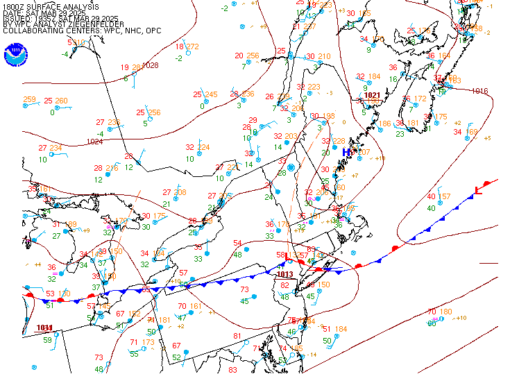
Surface Analysis — Eastern U.S. (North)
Satellite

Log in to save this location.
Nearest monitored road: [Transportation: Motorway] (Primary)
No significant changes to the forecast.
- dry and cool conditions continue through the weekend.
- above normal temperatures tuesday through thursday, with continued dry weather.
- turning unsettled friday into at least a part of next weekend.
Key message 1...dry and cool conditions continue through the weekend.
Cold start to the day today as radiational cooling cools the column resulting in temperatures in the mid to low 20S inland and low to mid 30S near the coast. Should see a quick rebound by this afternoon with highs warming into the upper 50S to low 60S across the interior. By tonight, overnight lows away from the coast likely drop into the mid to low 30S. The relatively warmer low temps are the result of slightly higher dew point temperatures that will range from the mid 30S to the low 40S as a weak swrly return flow ushers in moisture. Warming trend continues into the early week as 925mb temperatures warm significantly over the next 24 to 36 hours, up from +3c this morning to +10c by this evening. This will jump start a warming trend for the week.
Key message 2...above normal temperatures tuesday through thursday, with continued dry weather.
Surface high pressure continues to remain in control, essentially thematic of the last roughly 10 days. However aloft, the 500 mb pattern becomes increasingly amplified as a slow moving but powerful frontal system over the nation's midsection induces a plume of enhanced southwest flow aloft. This in turn will lead to an amplifying 500 mb ridge and bring an anomalously warm low-level airmass (E.g. 925 mb temps around +12 to +14c) over southern new england as we move into the wednesday through thursday timeframe.
Besides a continued stretch of dry weather/no rainfall - the region hasn't seen an appreciable wetting rain since october 16th - the main story for tuesday through thursday is above normal temperatures. All this despite sunset times around 430 PM as we move toward solar winter. The combo of continued southerly flow, the warm low-level airmass and the drying soil should help boost high temperatures to levels around 10 degrees above normal, especially as we move into wednesday and thursday when the 925-850 mb thermal ridge builds in. Expect highs to reach well into the 60S with some low 70S as well (climo is around the mid 50S), and lows should also run significantly above normal as well in the low to mid 50S (climo in the mid 30S to lower 40S).
Key message 3...turning unsettled friday into at least a part of next weekend.
Ensembles point to the amplified mid-level ridge from wed/thurs shifting eastward into the western atlantic by friday, as the slow- moving frontal system over the oh/ms valleys begins to affect southern new england. There still are quite a few uncertainties and unresolved details typical of a day-6 timeframe specific to this system, including rain amounts, its timing and if the system can draw on a plume of subtropical moisture to enhance rain rates. Ensemble 24-hr QPF probabilities from friday through saturday show moderate (40-60%) probabilities 0.5" or more of rain with low to moderate (up to 30%) probabilities of an inch or more of rain. While temps should still run above normal and also run a touch humid (by early nov standards), this looks to be the next really good chance at much-needed wetting rainfall.
Forecaster confidence levels...
Low - less than 30 percent. Moderate - 30 to 60 percent. High - greater than 60 percent.
06Z taf update:
Tonight through sunday night: high confidence.
VFR. Light NW to WNW winds thru 12Z sunday (calm at times, especially interior). Winds then shift to WSW/SW with speeds increasing to around 5-10 KT, stronger end of that range for eastern airports. Winds remain around 5-10 KT through sunday night.
Monday: high confidence.
VFR. SW winds around 8-12 KT, with sporadic gusts to around low 20S KT range through 22Z/sundown, then gusts ease.
Kbos terminal...high confidence in taf.
Kbdl terminal...high confidence in taf.
Outlook /monday through thursday/...
Monday: VFR. Breezy.
Monday night through wednesday night: VFR.
Thursday: VFR. Slight chance ra.
Forecaster confidence levels...
Low - less than 30 percent. Moderate - 30 to 60 percent. High - greater than 60 percent.
Through sunday...high confidence.
Continued high pressure will allow winds to weaken to 10 KT or less and seas to remain around 2-3 ft. Tranquil conditions today with winds around 10-15 KT and 2-3 ft seas.
Outlook /monday through thursday/...
Monday through wednesday: winds less than 25 KT.
Wednesday night: winds less than 25 KT. Seas locally approaching 5 ft.
Thursday: winds less than 25 KT. Local rough seas. Slight chance of rain.