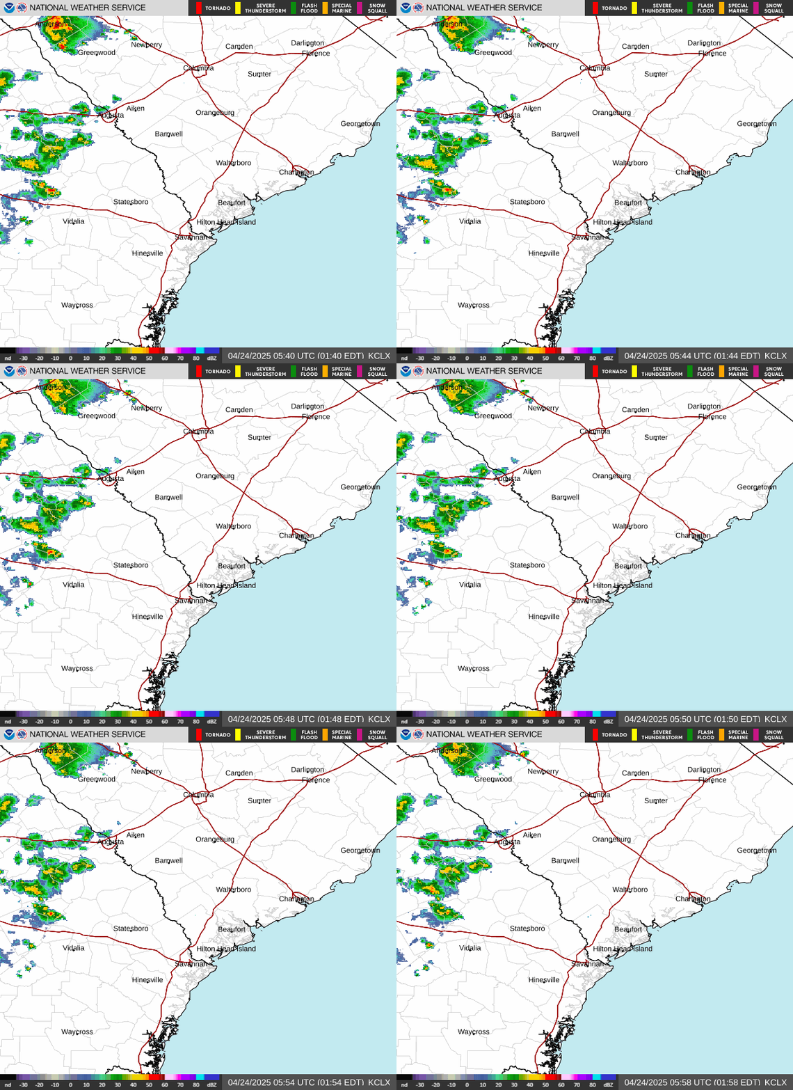
Radar — KCLX
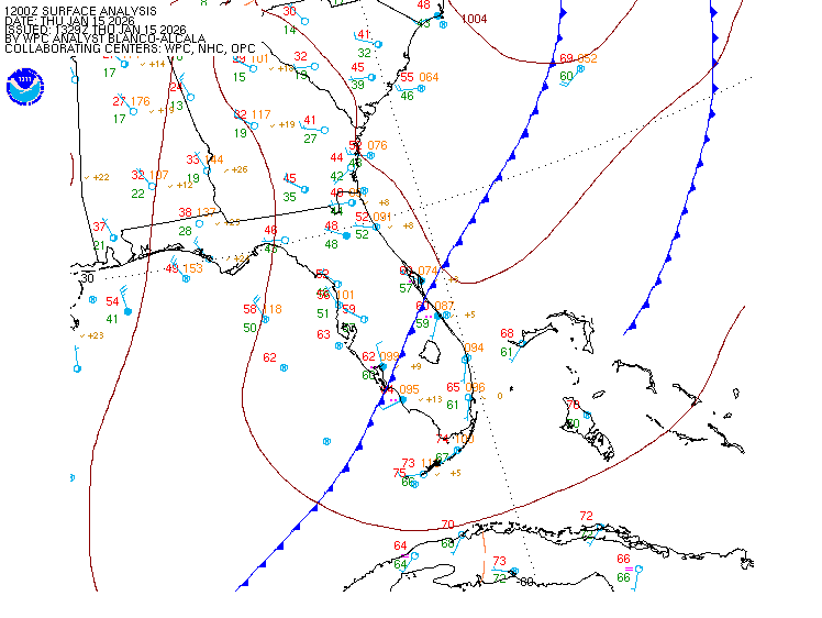
Surface Analysis — Eastern U.S. (South)
Satellite

Log in to save this location.
Nearest monitored road: US-278 (Primary)
All sections have been updated.
- 1) there is a high risk of rip currents for the georgia beaches through this evening.
- 2) seasonable temperatures with dry conditions through friday. Rain chances will gradually increase across southeast georgia and the south carolina lowcountry this weekend.
Key message 1: there is a high risk of rip currents for the georgia beaches through this evening.
The combination of breezy northeasterly winds with elevated seas continue into this evening, with the strongest winds and highest wave heights located along the southeast georgia coastline. Therefore, we have a high risk of rip currents for the georgia beaches through 8PM EDT. There is a moderate risk of rip currents along the south carolina beaches for the same timeframe. Beachgoers should swim near a lifeguard and heed local beach patrol guidance.
Key message 2: seasonable temperatures with dry conditions through friday. Rain chances will gradually increase across southeast georgia and the south carolina lowcountry this weekend.
Today through friday: a nearly 600 dm ridge will maintain control of the forecast through tomorrow night, before sliding over to the arklatex on friday. Expect afternoon dewpoints to dip into the low to mid 60S with low 70S along the coastline. Afternoon temperatures today and tomorrow will also be slightly cooler than the previous couple days with highs only reaching into the mid to upper 80S with a couple pockets of low 90S across interior southeast georgia. However, as we change over to friday, temperatures begin to warm up, with highs in the upper 80S to low 90S. Some models have indicating that a closed h5 low will develop offshore of the carolinas on thursday night, and then track southwestward across central florida on friday. However, with strong subsidence in place across the region, a rain-free forecast will be maintained through friday.
Saturday and sunday: as this h5 closed low meanders into the northern gulf over the weekend, it'll provide sufficient moisture back into the region. Expect pwats to range from 1.75 to 2.0 inches across the region. This will allow for warm and humid conditions to return to the region and will yield isolated to scattered afternoon thunderstorms on saturday and sunday as the sea breeze shifts inland.
18Z tafs: VFR. Strong high pressure will continue to remain across the region through the taf period. Northeasterly flow will persist through the forecast with speeds 10-15 KTS with gusts around 20 KTS between 16/18Z and 17/00Z. Afterwards, expect winds to wane after sunset with speeds 5-10 KTS through 17/18Z. It'll remain rain-free through the taf period.
Extended aviation outlook: prevailing VFR conditions with rain- free weather through friday, rain chances increase this weekend.
Through tonight: as strong high pressure continues to dominate the forecast, strong northeasterly flow will remain quite breezy across the waters. The strongest winds will be located along the georgia coastline with speeds ranging from 15-20 KTS with gusts up to 25 KTS. This strong onshore flow will continue to drive seas to surge to 4-6 ft through the evening. Heading into the overnight, the pressure gradient should weaken and allow the winds and seas to quickly subside overnight. As a result, the small craft advisories should expire for the nearshore south carolina waters this evening, then for the georgia waters overnight.
Thursday through sunday: while strong high pressure continues to be apparent over the region, expect winds to still maintain some breeziness with speeds 10-15 KTS with gusts up to 18-20 KTS on thursday. More favorable marine conditions are expected on friday through the weekend as winds fall to around 5-10 KT and seas continue to lower. Mariners should continue to monitor the latest forecast before heading offshore this weekend as there is some uncertainty regarding how this closed h5 low develops offshore of the carolinas on thursday night.