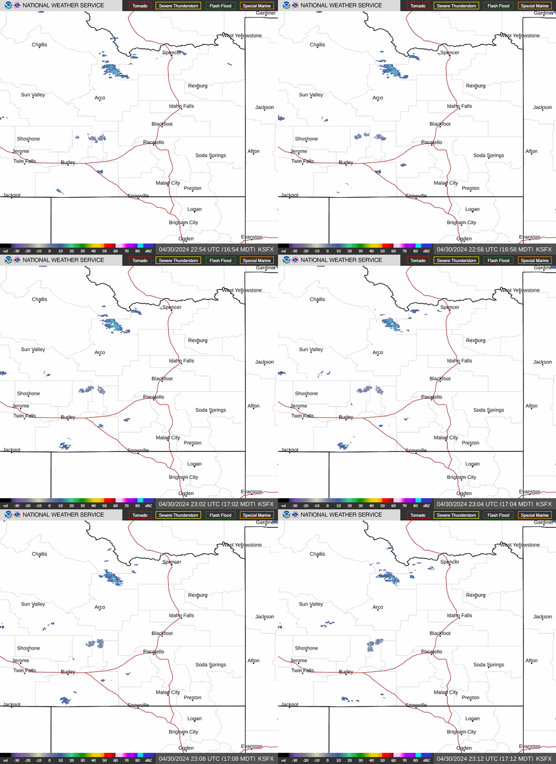
Radar — KSFX
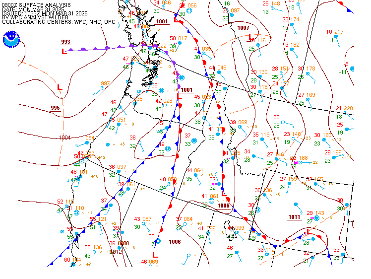
Surface Analysis — Western U.S. (North)
Satellite

Log in to save this location.
-showers and thunderstorms increasing thursday through saturday
-heavier precipitation expected across the eastern highlands into lemhi county and southwest montana
-cooler temperatures starting friday
Issued at 133 PM MDT wed sep 16 2026
A closed low along the coast briefly will be cutoff from the main steering flow along the US/canada border, eventually meandering across our area through saturday. This will bring an increasing chance of showers and thunderstorms starting tomorrow, including overnight thunderstorm potential. Through tomorrow morning, since storms will be more dry vs decent rain producers, there is a 10-50% chance for gusts over 35 MPH, highest across the southeast highlands. For tomorrow, there is a 40-70% chance for gusts over 35 MPH across the snake plain, magic valley, and south hills/albion mountains...with peak gusts approaching 50 MPH. Lower chances for those types of gusts are expected elsewhere. The track of the low will put most of the precipitation across the eastern highlands, lemhi county, and north into southwest montana. Storm totals outside of those areas will be anywhere from a couple of hundredths to near 0.30" over 72-ish hours. Locally higher amounts are possible across the southeast highlands and portions of the central mountains. Where heavier precipitation occurs, we are looking at 0.30-0.75", with locally higher amounts along the montana border and the tetons. We wouldn't be surprised to see a rain/snow mix on the highest peaks when the low crosses friday night/saturday morning. Ahead of the low, temperatures will top out in the upper 70S to lower 80S tomorrow for lower elevations. Highs friday and saturday will only manage the mid 60S to mid 70S for the valleys both days.
We will likely see a few wraparound showers on the backside of that low for sunday, with dry conditions to start out next week. Temperatures warm back up slightly, close to 80 for the warmest spots. We will need to watch the middle of next week so if the storm track shifts back to the north enough to bring showers and storms back into eastern idaho.
Issued at 1227 PM MDT wed sep 16 2026
VFR conditions in place across eastern idaho with light winds. Clouds will be on the increase over the next 24 hours as we start to feel the influence of an approaching upper low. Some isolated showers will be possible later this evening with coverage increasing as we move into thursday. Some thunderstorm potential exists tomorrow just beyond the current 18Z period. For now, forecast mentioned vcsh but expect the need for tempos or prob30S as we move a bit closer in time and have higher confidence with timing and placement. Synoptic winds will remain light outside of any showers and storms.
Issued at 1227 PM MDT wed sep 16 2026
Humidities will begin increasing today as monsoonal moisture works into the region. Areas across the central mountains could still see humidities in the 15-25 percent range today while most of southeast idaho will see humidities in the 25-35 percent range. Those values will increase over the next couple days. A few gusts to 25 MPH will be possible across the southern highlands this afternoon. Wind gusts to 25 MPH will become more widespread on thursday especially in and around any thunderstorms. Thunderstorm coverage will flirt with scattered at times but no fire weather headlines anticipated after coordination with local fire dispatch offices. Drier weather is expected for the weekend and into the first part of next week.