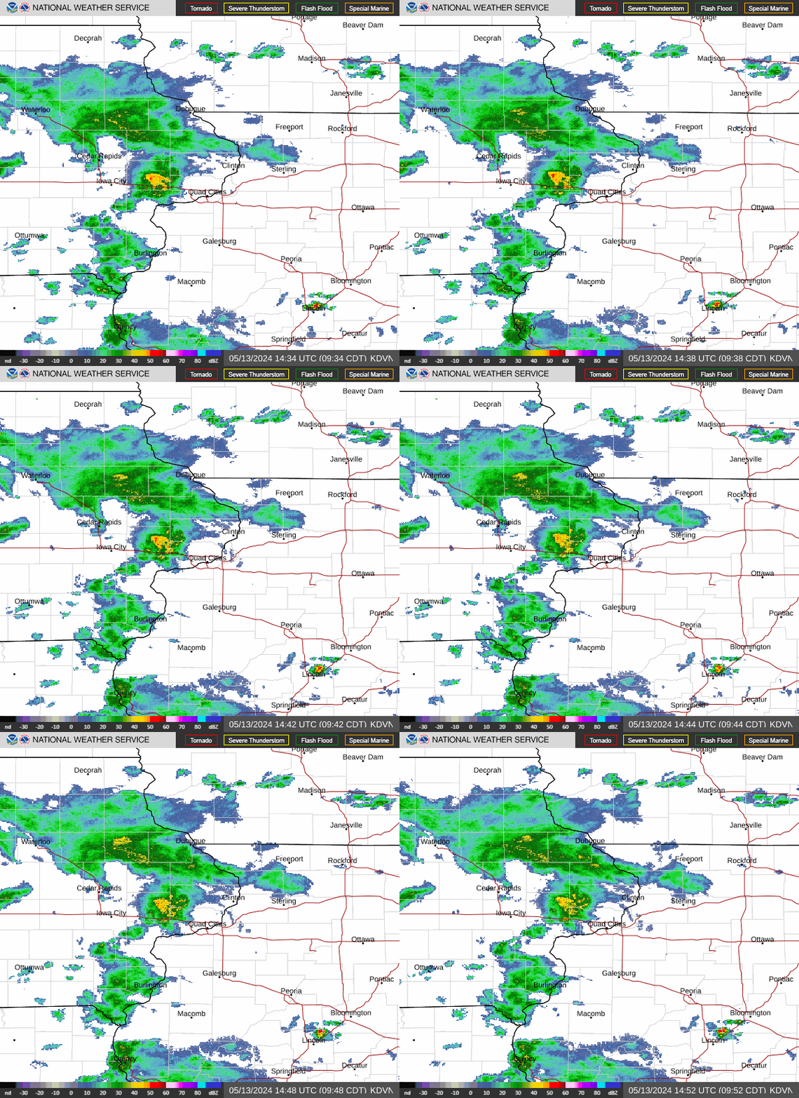
Radar — KDVN
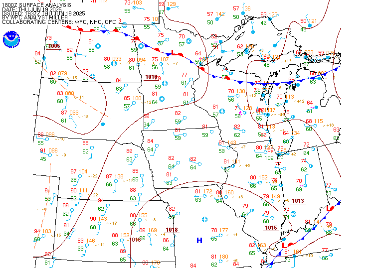
Surface Analysis — Central U.S. (North)
Satellite

Log in to save this location.
Nearest monitored road: South Gilbert Street (Secondary)
- a flood watch has been issued for much of the area tonight into thursday morning. Rainfall rates of 1-2 inches per hour at times will produce 1-3 inches of rain with localized 3-5 inches in the i- 80 and highway 20 corridors.
- the wet weather pattern will continue through the weekend with rounds of rain which may be heavy at times. In between each round of rain there will be periods of dry weather.
- the continued wet weather will result in general rises on the mississippi with the potential for river flooding on tributary rivers. Refer to the hydrology section for more information.
Issued at 231 PM CDT wed sep 16 2026
A weak upper air disturbance working on a saturated atmosphere will bring showers and areas of rain through sunset. Toward midnight the main event commences.
Starting around midnight the llj jet strengthens and will push the quasi-stationary boundary back north. Very short term models push pwats over 2.3 inches shortly after midnight which exceeds the max sounding climatology by over one half inch for september 17th. Thus heavy rain is a given.
The 24 hour QPF max from the refs/href are pegging roughly the same area (highway 30 and i-80 corridors) for the heaviest rain totals. More ominous is that the ukmet/icon/cmc are also pegging the same area as well.
Thus rain will start in earnest around or shortly after midnight with a majority of the rainfall occurring between 1 and 7 AM. Rainfall rates of 1-2 inches per hour are likely at times.
The overall signal suggests rainfall of 1-3 inches across much of the area. Localized amounts of 3-5 inches in the highway 30 and i-80 corridors have a 20% probability of occurring especially if storms repeat over the same area.
After sunrise the llj will weaken allowing the areal coverage of rain to decrease and eventually end by late morning. Boundaries left over from storms and the frontal boundary will then provide the focus for isolated showers to occur during the afternoon. However, many areas will remain dry thursday afternoon.
Issued at 231 PM CDT wed sep 16 2026
Thursday night through saturday night assessment...high (>80%) confidence on additional rounds of rain. Low (<25%) confidence on where the heaviest rain will fall
As mentioned yesterday, the quasi-stationary front will vacillate across the area as each low moves east from the plains. Thursday night into friday night the overall signal suggests the main focus for the heavier rain will be across minnesota into wisconsin. Under this scenario temperatures would be warming up through the period but pwats increasing to near 2 inches will create very muggy conditions, especially friday into saturday.
If the overall large scale synoptic picture is correct, the better rain chances thursday night into friday and friday night into saturday are north of i-80.
Saturday night another low is progged to push the front back to the south which would bring the better convergence, higher pwats and thus better chances for heavy rain back over the area.
Sunday-wednesday...a surface pressure over ontario pushes the low pressure over iowa southward into missouri as the shortwave over the western conus finally propagates eastward. Mid-level cva from the trough should support storm development north of the low pressure sunday into monday before the system moves into illinois and indiana. Caa to kick in as the trough swings through the area, leading to a decrease in pops tuesday and allowing cooler, drier air to move in.
Issued at 1221 PM CDT wed sep 16 2026
Saturated atmosphere is dropping cigs with MVFR conditions becoming IFR by 06Z/17 with a 70% probability of LIFR conditions 06-12Z/17. Areas of rain through 06Z/17 will become more widespread after 06Z/17 with embedded tsra as the llj strengthens and pushes the frontal boundary up to around i-80. Widespread IFR/LIFR conditions after 12Z/17 with some slow improvement after 15Z/17.
Issued at 231 PM CDT wed sep 16 2026
With a wet pattern expected to remain in place through the weekend and early next week, rising river levels are expected to occur.
Right now current forecasts and extended ensemble forecasts show within bank rises along the mississippi with some areas approaching flood stage (10-20%). Area tributary rivers will also see rises. The cedar, iowa, skunk and wapsipinicon rivers have a 20-40% chance of reaching flood stage over the next 10 days. The green, rock and pecatonica rivers have a 10-20% chance of reaching flood stage.
These probability are based on the current forecasted rainfall. If the rainfall is heavier/lighter or in a different location then the probabilities of the tributary rivers reaching flood stage with either increase or decrease.