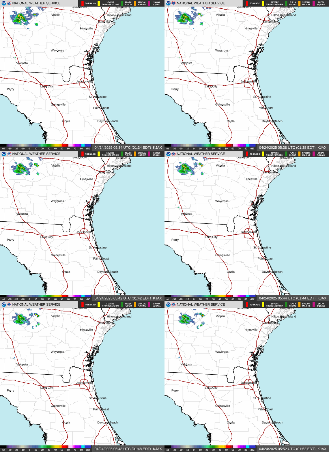
Radar — KJAX
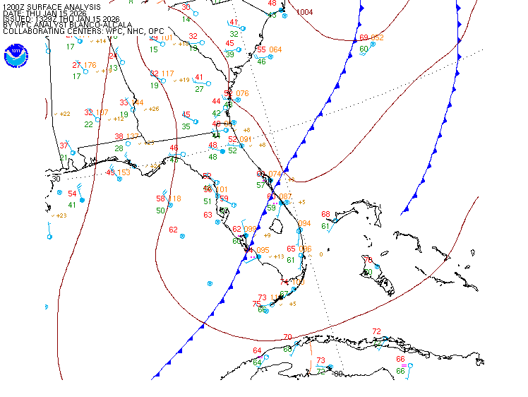
Surface Analysis — Eastern U.S. (South)
Satellite

Log in to save this location.
Nearest monitored road: US-17 (Primary)
For the latest NE fl and SE ga daily key messages please visit: https:/www.weather.gov/media/jax/briefings/NWS-jax-briefing.pdf
- high risk for rip currents & rough surf through thursday.
- breezy onshore winds overspread coastal locations, with wind gusts at area beaches around 35 MPH through thursday.
- small craft advisories in place through thursday.
- light showers, possibly a thunderstorm, from the coast towards the i-95 corridor through the end of the week.
Main highlights through tonight:
- breezy onshore winds this afternoon, mainly along the coast
- dangerous surf conditions and a high rip current risk
Strong high pressure will be centered to the northeast through tonight. An inverted trough will remain near the coast. A few spotty showers will move across the waters, and reach areas near the coast this afternoon. This shower potential will be more limited to over the coastal waters tonight.
Lows tonight will range from the middle 60S over inland SE ga to the mid 70S along the coast of SE ga and NE fl.
Main highlights this period:
- high rip current risk remains over the area beaches - isolated to scattered showers expected - breezy northeast to east winds continue on thursday, trending down for friday.
The coastal trough over the atlantic will begin to shift towards the fl peninsula on thursday, becoming a closed low on friday as it pushes across fl into the eastern gulf.
Northeasterly onshore flow will continue through the majority of the period, becoming more easterly by friday night into saturday morning. With the westward progression of the trough towards the fl coast, the elevated winds from the past couple of days will begin to lessen on thursday, but will still likely have wind speeds around 15 MPH along the coast, with occasional gusts near 30 MPH. Drier air filtering across the area, will keep chances of precipitation on the lower side for most locations with coastal locations being the exception as isolated chances will remain due to the onshore flow. By friday, isolated to scattered chances remain for coastal locations, primarily over northeast fl as overall wind speeds continue to weaken and steadily shift to become easterly by saturday morning.
Temperatures will continue to be relatively cooler along the coast due to the continued onshore flow, bringing daytime highs in the upper 80S, while daytime highs in the lower 90S will be felt over inland locations west of the i-95 corridor.
- daily chances for showers and thunderstorms with locally heavy rainfall possible - elevated rip current risk and rough surf for area beaches is likely for at least the weekend
As the closed low shifts further towards the gulf, moist air from the atlantic will advect into the area. Scattered to numerous chances are expected as diurnally driven showers and storms develop over the weekend. Coastal locations will likely continue to see higher risk of rip currents due to the persistent onshore flow through the weekend. By the upcoming week the overall flow will veer to become southeasterly-southerly by midweek. Higher chances of precipitation likely to continue at the start of the new week as moisture remains elevated aloft.
Overall, high temperatures will be in the mid 80S to lower 90S and lows in the lower 70S.
A few coastal showers could cause brief restrictions this afternoon, but the chance is too low to mention in tafs at this time. So, prevailing VFR conditions are forecast.
Elevated and gusty winds will continue this afternoon. These winds will subside away from the coast after sunset. Winds will increase once again mid morning on thursday.
Local pressure gradient remains tight as high pressure ridging builds down the eastern seaboard in the wake of a cool front. Small craft advisory conditions with breezy northeast winds and elevated seas will continue across area waters through thursday. Waves of isolated to scattered showers and a few thunderstorms will move over the area waters through much of the week. Improving conditions are expected by friday as onshore winds weaken and seas gradually lower.
Rip currents: continued breezy northeast winds and building surf combine to lead to dangerous surf and a high rip current risk for area beaches through thursday.
- patchy to areas of high daytime dispersions thursday
Northeasterly winds will continue through the end of the week, with the elevated wind speeds beginning to lessen this evening and on thursday. Another day of higher dispersions can be expected on thursday. Drier air filtering into the region will keep rain chances low through the end of the work week, with only squattered chances along the coast due to the onshore flow. Even with the drier air filtering in, min rh values are expected to remain above the 30% mark, with locations in far interior SE ga hovering in the upper 30% range.
Fog potential...no significant fog expected.
Amg 68 90 67 92 / 0 0 0 0 ssi 77 86 76 88 / 10 10 0 0 jax 73 88 72 89 / 10 10 10 10 sgj 76 86 76 87 / 20 10 10 20 gnv 71 89 70 90 / 0 0 0 10 ocf 72 90 71 90 / 0 0 0 10