Weather Lookup

Current Conditions — KJBR

84°F Mostly Cloudy
💧 Humidity 84%
💨 Wind 7 mph E
👁 Visibility 10.0 mi
🌡 Pressure 29.83 inHg

Hourly Forecast — Jonesboro,AR

2:00 AM 82°F Slight Chance Showers And Thunderstorms 💨 5 mph NNE
3:00 AM 82°F Chance Showers And Thunderstorms 💨 5 mph NNE
4:00 AM 80°F Chance Showers And Thunderstorms 💨 5 mph NE
5:00 AM 79°F Chance Showers And Thunderstorms 💨 5 mph NE
6:00 AM 78°F Chance Showers And Thunderstorms 💨 5 mph NE
7:00 AM 78°F Chance Showers And Thunderstorms 💨 5 mph ENE
8:00 AM 79°F Chance Showers And Thunderstorms 💨 5 mph ENE
9:00 AM 80°F Slight Chance Showers And Thunderstorms 💨 5 mph ENE
10:00 AM 82°F Partly Sunny 💨 5 mph ENE
11:00 AM 84°F Partly Sunny 💨 5 mph NE
12:00 PM 86°F Partly Sunny 💨 5 mph NE
1:00 PM 88°F Partly Sunny 💨 5 mph NE
2:00 PM 89°F Partly Sunny 💨 5 mph NE
3:00 PM 90°F Mostly Sunny 💨 5 mph NE
4:00 PM 90°F Mostly Sunny 💨 5 mph NE
5:00 PM 91°F Mostly Sunny 💨 5 mph ENE
6:00 PM 89°F Partly Cloudy 💨 5 mph ENE
7:00 PM 87°F Mostly Clear 💨 5 mph ENE
8:00 PM 85°F Mostly Clear 💨 5 mph ENE
9:00 PM 80°F Clear 💨 5 mph ENE
10:00 PM 79°F Mostly Clear 💨 5 mph ENE
11:00 PM 77°F Mostly Clear 💨 5 mph NE
12:00 AM 76°F Mostly Clear 💨 5 mph ENE
1:00 AM 75°F Mostly Clear 💨 5 mph ENE

Daily Forecast — Jonesboro,AR

Overnight 77°F Chance Showers And Thunderstorms 💨 5 mph NNE
Wednesday 91°F Chance Showers And Thunderstorms then Partly Sunny 💨 5 mph NE
Wednesday Night 71°F Mostly Clear 💨 5 mph ENE
Thursday 90°F Sunny 💨 5 mph ENE
Thursday Night 71°F Partly Cloudy 💨 5 mph E
Friday 91°F Chance Showers And Thunderstorms 💨 5 mph SSE
Friday Night 74°F Chance Showers And Thunderstorms 💨 5 mph SW
Saturday 88°F Chance Rain Showers then Mostly Sunny 💨 5 to 15 mph NW
Saturday Night 71°F Partly Cloudy 💨 5 to 10 mph NNW
Sunday 85°F Mostly Sunny then Slight Chance Showers And Thunderstorms 💨 5 to 10 mph N
Sunday Night 70°F Slight Chance Showers And Thunderstorms then Mostly Clear 💨 0 to 5 mph N
Monday 88°F Sunny then Chance Showers And Thunderstorms 💨 5 mph NNE
Monday Night 71°F Chance Showers And Thunderstorms then Mostly Clear 💨 0 to 5 mph ENE
Tuesday 90°F Sunny then Slight Chance Showers And Thunderstorms 💨 0 to 5 mph SE

🚗 Road Conditions

Good

Nearest monitored road: South Main Street (Secondary)

2:45 AM Good
3:00 AM Good
3:15 AM Good
3:30 AM Good
3:45 AM Good
4:00 AM Good
5:00 AM Good
6:00 AM Good

Forecast Discussion — MEG

View Full Discussion on NOAA →

Key Messages

Issued at 1218 AM CDT wed jul 29 2026

- seasonal temperatures and reduced humidity arrive by wednesday for most of the region. However, portions of the mississippi river delta are still under a heat advisory through 8 PM wednesday until relief arrives thursday.

- higher rain chances return to the mid-south late friday and linger into saturday.

- cooler temperatures will continue behind a cold front late this weekend that are expected to last into early next week with temperatures remaining in the 80S and low 90S.

Discussion

(today through tuesday) issued at 1218 AM CDT wed jul 29 2026

Hot temperatures continue throughout the mid-south with areawide temperatures still in the upper 80S and low 90S as of the time of writing. Temperatures will cool through the night, but limited relief is expected, especially across the mississippi river delta in arkansas and mississippi. A wave, currently entering northern arkansas, will move southeastward through the mid-south tonight and tomorrow, bringing scattered showers. Forecast soundings show ample instability (3000+ mucape) for thunderstorms, but an overnight inversion near the surface is likely to keep the coverage of any convection isolated. However, through the day wednesday, enough insolation may erode this inhibition and allow for thunderstorms to develop into the afternoon, but confidence in the placement and coverage of thunderstorms is still low. In terms of temperature, enough cloud cover should be present to keep afternoon heat indices below 105 f, aside from the aforementioned areas in the mississippi river delta where a new heat advisory has been hoisted through 8 PM CDT wednesday evening. There is the possibility that thunderstorms could develop in this area and cut the dangerous heat before the expiration of the heat advisory, which will be monitored through the next 24 hours.

Behind the weak wave wednesday, a cold front will help reinforce cooler temperatures throughout the mid-south. The broad northwesterly upper flow that has allowed for this pattern shift will continue, keeping the cooler temperatures throughout the region into at least this weekend. Medium range models continue to show a lee surface cyclone tracking along the baroclinic zone generated by the cold front late this week, eventually reaching the middle mississippi river valley by late friday and will offer our next chance of rainfall.

Looking closer into the details of the system friday and early saturday, one thing is readily apparent: pwats will be very high. Multiple models (NAM/GFS/ECMWF/nbm) have pwats approaching, if not exceeding, 2.2" as the surface wave approaches. At the same time, this suite of guidance also shows elevated westerlies between 925 and 850 mb, which would act to guide this moisture into and over the cooler air mass laid out by the cold front wednesday. This would typically lead to a signal for a zone of high rainfall accumulation, but differences in the mesoscale evolution between these models precludes higher confidence in heavy rainfall. The largest detractor from heavy rain is the uncertainty in instability, which may be low due to both relatively dry air near the surface and weak mid-level lapse rates. Regardless, late july and early august have a propensity to produce instability from a lot less than what is present in the guidance and trends may need to be monitored for heavy rainfall potential friday and into saturday.

The surface cyclone will eventually move east of the region late saturday and into sunday. Additional convection is possible along another cold front as it moves south saturday night, but severe weather and heavy rainfall concerns remain limited due to continued uncertainty in the thermodynamic profiles across the region. Behind the front, temperatures are expected to remain in the 80S sunday and flirt with 90 into early next week. The upper troughing will begin to slowly erode through the end of the period and beyond, potentially marking the return of warmer weather. However, current guidance continues to show reasonably low dewpoints at or below 70, which should keep the forecast dry and less unbearable compared to this last heat wave.

Aviation

(06Z tafs) issued at 1218 AM CDT wed jul 29 2026

VFR conditions are expected to persist through the period. A cold front will move through the region into early wednesday, resulting in a few rain showers, especially at jbr and mem. Sufficient elevated instability may support the development of a thunderstorm or two but confidence in coverage and occurrence remains too low to mention in this taf set. Prob30 groups will be maintained at jbr and mem where rain chances will be slightly higher with vcsh at mkl and tup. Winds will veer N/NE behind the front.

Fire Weather

Issued at 1218 AM CDT wed jul 29 2026

No major fire danger concerns for the foreseeable future as minrh values remain above 40% and 20ft winds stay below 10 MPH.

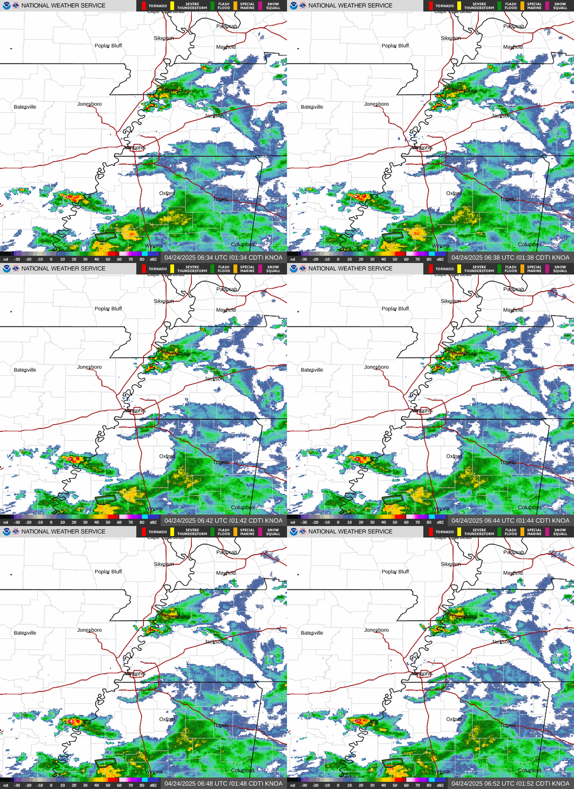
Radar — KNQA

Radar loop for KNQA

Surface Analysis — Central U.S. (South)

Surface map for Central U.S. (South)

Satellite

Satellite imagery
Expanded view